- Elevation
- -2 m
- above sea level
- Local time
- UTC+09:00
- Asia/Tokyo · UTC+09:00
- Airports
- TTJ Tottori Sand Dunes Conan Airport25 km
- YGJ Yonago Kitaro Airport / JASDF Miho Air Base59 km
About Lake Tōgō
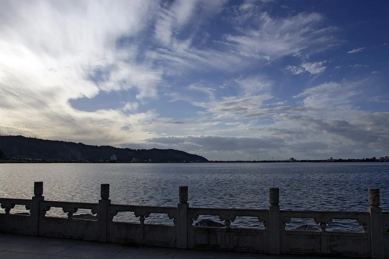
Lake Tōgō is a lake. Location: Tottori, Japan. Elevation: -2 m.
Lake Tōgō (東郷池, Tōgō-ike) is a brackish lake located in the town of Yurihama, Tottori Prefecture in the San'in Region of Japan. It has a circumference of 12 kilometers and is separated from the Sea of Japan by a narrow coastal strip. Lake Tōgō was a cove in ancient Japan that gradually became separated from the sea by sedimentation to become a lake. It is now connected to the Sea of Japan through Hashizu River, which is about 2 kilometers long.
Source: Wikipedia · CC BY-SA 4.0
Climate of Lake Tōgō
Best months for sightseeingBest months for sightseeing: May–June, October.
This month · November
A wet month
Day 16° · Night 7° · Rain 112 mm
Better nearby cities in November
- Kochi · 217 km south18°
- Ōita · 327 km southwest18°
- Beppu · 329 km southwest17°
- Hottest month
- August (day 31°)
- Coldest month
- February (night 0°)
- Wettest month
- July (229 mm)
- Driest month
- December (102 mm)
Bars: average monthly low and high temperature. Below: precipitation. Monthly averages for 1970–2000 at about 18 km resolution, adjusted for elevation. Highlighted months are mild and relatively dry. Source: WorldClim 2.1 (CC BY 4.0).
Show values as a table
| Month | Jan | Feb | Mar | Apr | May | Jun | Jul | Aug | Sep | Oct | Nov | Dec |
|---|---|---|---|---|---|---|---|---|---|---|---|---|
| Average high (°C) | 8° | 8° | 12° | 18° | 23° | 26° | 30° | 31° | 27° | 21° | 16° | 11° |
| Average low (°C) | 0° | 0° | 3° | 8° | 13° | 18° | 22° | 23° | 19° | 12° | 7° | 3° |
| Precipitation (mm) | 117 | 114 | 115 | 129 | 136 | 198 | 229 | 141 | 228 | 126 | 112 | 102 |
How to get to Lake Tōgō
The nearest airport is Tottori Sand Dunes Conan Airport (TTJ), 25 km to the east as the crow flies. For international flights: Okayama Momotaro Airport (OKJ) (80 km). The nearest large city is Tottori-shi, 31 km to the east.
Airports
- Tottori Sand Dunes Conan Airport (TTJ) Tottori 25 kmeast
- Yonago Kitaro Airport / JASDF Miho Air Base (YGJ) Yonago 59 kmwest
- Okayama Momotaro Airport (OKJ) Okayama 80 kmsouth
Nearby large cities
- Tottori-shi Population: 188.5K 31 kmeast
- Tsuyama Population: 102.3K 49 kmsouth
- Yonago Population: 148.7K 51 kmwest
- Matsue Population: 203.6K 76 kmwest
- Kurashiki Population: 483.6K 100 kmsouth
Straight-line distances; road distances are longer. Airport data: OurAirports.
Nearest towns and villages
-
Yurihama Chō Municipality, Tōhaku-gun1.8 km SE
-
Matsuzaki Town, Yurihama Chō1.9 km SE
-
 Kurayoshi City, Kurayoshi Shi8.6 km SW
-
Misasa Town, Tōhaku-gun8 km S
-
Hokuei Chō Municipality, Tōhaku-gun11 km W
-
Yabase Town, Koutara Chō19 km W
Sources & licences
Data last updated: · 2 independent sources