- Elevation
- 2 m
- above sea level
- Local time
- UTC+09:00
- Asia/Tokyo · UTC+09:00
- Airports
- YGJ Yonago Kitaro Airport / JASDF Miho Air Base13 km
- IZO Izumo Enmusubi Airport44 km
About Hino River
Hino River is a river. Location: Tottori, Japan. The best months to visit are May, October. The nearest airport is Yonago Kitaro Airport / JASDF Miho Air Base (13 km). Nearby sights include Miho Bay and Lake Nakaumi.
Climate of Hino River
Best months for sightseeingBest months for sightseeing: May, October.
Bars: average monthly low and high temperature. Below: precipitation. Monthly averages for 1970–2000 at about 18 km resolution, adjusted for elevation. Highlighted months are mild and relatively dry. Source: WorldClim 2.1 (CC BY 4.0).
Show values as a table
| Month | Jan | Feb | Mar | Apr | May | Jun | Jul | Aug | Sep | Oct | Nov | Dec |
|---|---|---|---|---|---|---|---|---|---|---|---|---|
| Average high (°C) | 8° | 8° | 12° | 18° | 23° | 26° | 30° | 31° | 27° | 22° | 16° | 11° |
| Average low (°C) | 1° | 0° | 3° | 8° | 12° | 18° | 22° | 23° | 19° | 12° | 7° | 3° |
| Precipitation (mm) | 116 | 116 | 113 | 117 | 122 | 189 | 217 | 140 | 210 | 124 | 111 | 101 |
Airports nearest to Hino River
- Yonago Kitaro Airport / JASDF Miho Air Base (YGJ) Yonago 13 km
- Izumo Enmusubi Airport (IZO) Izumo 44 km
- Tottori Sand Dunes Conan Airport (TTJ) Tottori 72 km
Straight-line distance; airports with scheduled flights only. Source: OurAirports (public domain).
Nearest towns and villages
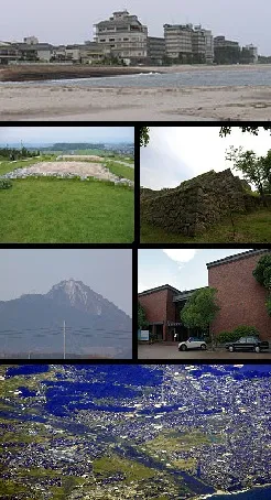
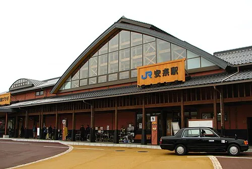
Nearby attractions & nature
Everything nearby-
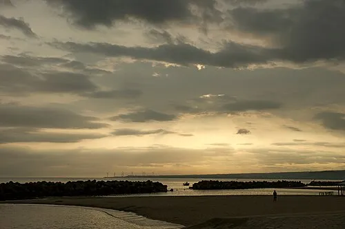 Miho Bay Natural site, Tottori6.1 km NW
-
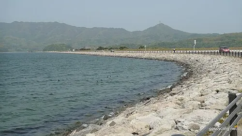 Lake Nakaumi Lake, Shimane16 km W
-
Daikon Island Island, Shimane18 km W
-
 Mount Daisen Mountain, Daisen Chō18 km SE
More lakes, rivers and coasts in Japan
-
Tenjin River River, Tottori44 km E
-
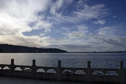 Lake Tōgō Lake, Tottori47 km E
-
Sendai River River, Tottori75 km E
Sources & licences
Data last updated: