Mount Daisen
Local name: 大山
Located in Daisen Chō, Saihaku-gun Coordinates: 35°22′17″ N 133°32′35″ E

- Elevation
- 1,729 m
- above sea level
- Local time
- UTC+09:00
- Asia/Tokyo · UTC+09:00
- Airports
- YGJ Yonago Kitaro Airport / JASDF Miho Air Base31 km
- TTJ Tottori Sand Dunes Conan Airport59 km
About Mount Daisen
Mount Daisen is a mountain. Location: Daisen Chō, Saihaku-gun. Elevation: 1,729 m.
Mount Daisen (大山, Daisen) is a dormant stratovolcano in Tottori Prefecture, Japan. It has an elevation of 1,729 m (5,673 ft). This mountain is the highest in the Chūgoku region, and the most important volcano on the Daisen volcanic belt, which is a part of the Southwestern Honshu volcanic arc, where the Philippine Sea Plate is subducting under the Amurian Plate.
Source: Wikipedia · CC BY-SA 4.0
At a glance
- Topographic prominence
- 1,634 m
Source: Wikidata
Climate of Mount Daisen
Best months for sightseeingBest months for sightseeing: July–August.
This month · November
A wet month
Day 5° · Night -4° · Rain 106 mm
Better nearby cities in November
- Kochi · 203 km south18°
- Ōita · 297 km southwest18°
- Beppu · 299 km southwest17°
- Hottest month
- August (day 20°)
- Coldest month
- February (night -11°)
- Wettest month
- July (247 mm)
- Driest month
- December (97 mm)
Bars: average monthly low and high temperature. Below: precipitation. Monthly averages for 1970–2000 at about 18 km resolution, adjusted for elevation. Highlighted months are mild and relatively dry. Source: WorldClim 2.1 (CC BY 4.0).
Show values as a table
| Month | Jan | Feb | Mar | Apr | May | Jun | Jul | Aug | Sep | Oct | Nov | Dec |
|---|---|---|---|---|---|---|---|---|---|---|---|---|
| Average high (°C) | -4° | -4° | 1° | 7° | 12° | 15° | 19° | 20° | 16° | 10° | 5° | 0° |
| Average low (°C) | -11° | -11° | -8° | -3° | 2° | 7° | 12° | 12° | 8° | 2° | -4° | -8° |
| Precipitation (mm) | 111 | 111 | 116 | 131 | 139 | 212 | 247 | 159 | 224 | 127 | 106 | 97 |
How to get to Mount Daisen
The nearest airport is Yonago Kitaro Airport / JASDF Miho Air Base (YGJ), 31 km to the northwest as the crow flies. The nearest large city is Yonago, 20 km to the west.
Airports
- Yonago Kitaro Airport / JASDF Miho Air Base (YGJ) Yonago 31 kmnorthwest
- Tottori Sand Dunes Conan Airport (TTJ) Tottori 59 kmeast
- Izumo Enmusubi Airport (IZO) Izumo 60 kmwest
Nearby large cities
- Yonago Population: 148.7K 20 kmwest
- Matsue Population: 203.6K 46 kmwest
- Tsuyama Population: 102.3K 55 kmsoutheast
- Tottori-shi Population: 188.5K 64 kmeast
- Izumo Population: 172.8K 71 kmwest
Straight-line distances; road distances are longer. Airport data: OurAirports.
Day trips from Mount Daisen
Within 100 km: 3 historic and cultural sites, 10 natural sites, 15 lakes, rivers and coasts.
0–25 km3 places
- Hino River River 18 kmNW
- Miho Bay Natural site 24 kmNW
- Mount Hōbutsu Mountain 17 kmSW
25–60 km9 places
- Daikon Island Island 36 kmW
- Shinji Ko Lake 54 kmW
- Lake Nakaumi Lake 33 kmW
- Mount Hiba Mountain 57 kmSW
60–100 km16 places
- Sendai River River 62 kmE
- Tottori Castle ruins Historic site 65 kmE
- Nishino Shima Island 93 kmNW
- Nakano Shima Island 89 kmNW
Straight-line distances.
Nearest towns and villages


Nearby attractions & nature
Everything nearby-
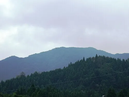 Mount Hōbutsu Mountain, Kōfu Chō17 km SW
-
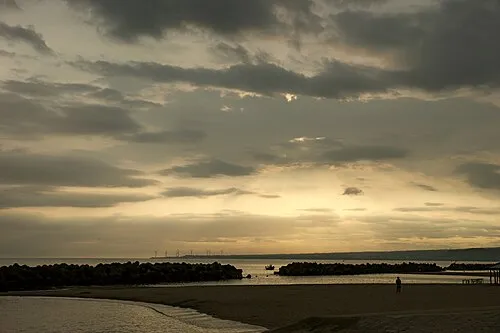 Miho Bay Natural site, Tottori24 km NW
-
Hino River River, Tottori18 km NW
Sources & licences
Data last updated: · 2 independent sources