- Local time
- UTC+09:00
- Asia/Tokyo · UTC+09:00
- Airports
- YGJ Yonago Kitaro Airport / JASDF Miho Air Base9 km
- IZO Izumo Enmusubi Airport41 km
About Miho Bay
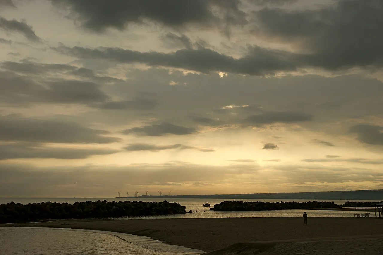
Miho Bay is a natural site. Location: Tottori, Japan.
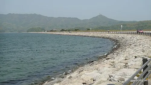
Miho Bay (美保湾, Miho-wan) is a bay on the north coast of western Honshu, the largest island of Japan. The bay faces the Sea of Japan and within the borders of Tottori Prefecture. Miho bay is bounded to the west by Yumigahama Peninsula, which forms the western border with Shimane Prefecture.
Read more on Wikipedia Text: Wikipedia contributors · CC BY-SA 4.0 · shortened
Climate of Miho Bay
Best months for sightseeingBest months for sightseeing: May–June, September–October.
Bars: average monthly low and high temperature. Below: precipitation. Monthly averages for 1970–2000 at about 18 km resolution, adjusted for elevation. Highlighted months are mild and relatively dry. Source: WorldClim 2.1 (CC BY 4.0).
Show values as a table
| Month | Jan | Feb | Mar | Apr | May | Jun | Jul | Aug | Sep | Oct | Nov | Dec |
|---|---|---|---|---|---|---|---|---|---|---|---|---|
| Average high (°C) | 7° | 8° | 11° | 18° | 22° | 25° | 29° | 30° | 26° | 21° | 15° | 10° |
| Average low (°C) | 0° | 0° | 2° | 7° | 12° | 17° | 22° | 22° | 18° | 12° | 7° | 2° |
| Precipitation (mm) | 111 | 110 | 109 | 112 | 116 | 184 | 203 | 130 | 202 | 122 | 108 | 97 |
Other places to visit in this season: May June September October
Airports nearest to Miho Bay
- Yonago Kitaro Airport / JASDF Miho Air Base (YGJ) Yonago 9 km
- Izumo Enmusubi Airport (IZO) Izumo 41 km
- Oki Global Geopark Airport (OKI) Okinoshima 75 km
Straight-line distance; airports with scheduled flights only. Source: OurAirports (public domain).
Nearest towns and villages
-
 Yonago City, Yonago Shi7.4 km S
-
Hiezu Son Municipality, Saihaku-gun7.4 km SE
-
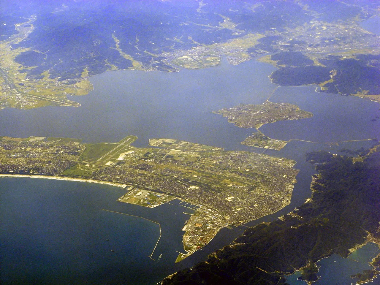 Sakaiminato City, Sakaiminato Shi10 km NW
-
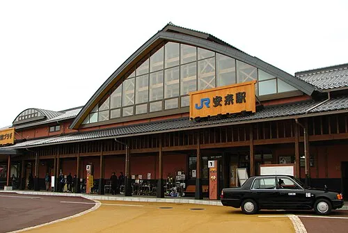 Yasugichō Town, Yasugi Shi12 km SW
-
Mikuriya Town, Daisen Chō15 km E
-
Daisen Chō Municipality, Saihaku-gun18 km E
Nearby attractions & nature
Everything nearby-
Hino River River, Tottori6.1 km SE
-
 Lake Nakaumi Lake, Shimane13 km W
-
Daikon Island Island, Shimane14 km W
-
 Mount Daisen Mountain, Daisen Chō24 km SE
Sources & licences
Data last updated: · 2 independent sources