- Population
- 26,440
- 26.4K
- Elevation
- 44 m
- above sea level
- Local time
- UTC+09:00
- Asia/Tokyo · UTC+09:00
- Places inside
- 1
- listed under Nyūzen Machi
- Airports
- TOY Toyama Kitokito Airport41 km
- NTQ Noto Satoyama Airport64 km
About Nyūzen Machi
Nyūzen Machi is a municipality. Location: Shimoniikawa Gun, Toyama. Population: 26,440. Elevation: 44 m. The best months to visit are May–June, September–October. The nearest airport is Toyama Kitokito Airport (41 km). Nearby sights include Kurobe River and Mount Oizuru.
Climate of Nyūzen Machi
Best months for sightseeingBest months for sightseeing: May–June, September–October.
This month · November
A wet month
Day 14° · Night 6° · Rain 155 mm
Better nearby cities in November
- Kofu · 168 km southeast17°
- Fujinomiya · 214 km southeast18°
- Fuji · 221 km southeast20°
- Hottest month
- August (day 30°)
- Coldest month
- February (night -2°)
- Wettest month
- September (211 mm)
- Driest month
- April (108 mm)
Bars: average monthly low and high temperature. Below: precipitation. Monthly averages for 1970–2000 at about 18 km resolution, adjusted for elevation. Highlighted months are mild and relatively dry. Source: WorldClim 2.1 (CC BY 4.0).
Show values as a table
| Month | Jan | Feb | Mar | Apr | May | Jun | Jul | Aug | Sep | Oct | Nov | Dec |
|---|---|---|---|---|---|---|---|---|---|---|---|---|
| Average high (°C) | 5° | 5° | 9° | 16° | 22° | 25° | 29° | 30° | 26° | 20° | 14° | 8° |
| Average low (°C) | -2° | -2° | 1° | 6° | 12° | 17° | 21° | 22° | 18° | 11° | 6° | 1° |
| Precipitation (mm) | 173 | 125 | 118 | 108 | 112 | 170 | 196 | 146 | 211 | 145 | 155 | 169 |
Other places to visit in this season: May June September October
How to get to Nyūzen Machi
The nearest airport is Toyama Kitokito Airport (TOY), 41 km to the southwest as the crow flies. The nearest large city is Toyama, 35 km to the southwest.
Airports
- Toyama Kitokito Airport (TOY) Toyama 41 kmsouthwest
- Noto Satoyama Airport (NTQ) Wajima 64 kmnorthwest
- Shinshu-Matsumoto Airport (MMJ) Matsumoto 91 kmsoutheast
Nearby large cities
- Toyama Population: 415.8K 35 kmsouthwest
- Takaoka Population: 170.1K 48 kmsouthwest
- Nagano Population: 372.8K 67 kmsoutheast
- Jōetsu Population: 189.4K 70 kmeast
- Matsumoto Population: 241.1K 86 kmsoutheast
Straight-line distances; road distances are longer. Airport data: OurAirports.
Day trips from Nyūzen Machi
Within 100 km: 2 historic and cultural sites, 35 natural sites, 13 lakes, rivers and coasts.
0–25 km2 places
- Kurobe River River 8 kmW
- Mount Oizuru Mountain 10 kmSE
25–60 km27 places
- Mount Kurobegorō Mountain 58 kmS
- Jinzu River River 31 kmSW
- Takahara River River 56 kmSW
- Mitsuke Jima Island 58 kmNW
60–100 km21 places
- Mount Norikura Mountain 90 kmS
- Mount Azumaya Mountain 74 kmSE
- Hijiri Yama Mountain 66 kmSE
- Kasaga-take Mountain 67 kmS
Straight-line distances.
Places in Nyūzen Machi
1 place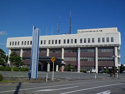
Nyūzen
Population: 25K
Nearby attractions & nature
Everything nearby-
Kurobe River River, Toyama7.5 km W
-
Mount Oizuru Mountain, Asahi Machi10 km SE
Sources & licences
Data last updated: