- Elevation
- 117 m
- above sea level
- Local time
- UTC+09:00
- Asia/Tokyo · UTC+09:00
- Population
- 2,000
- 2K
- Airports
- SHM Nanki Shirahama Airport48 km
- KIX Kansai International Airport119 km
About Kii Ōshima
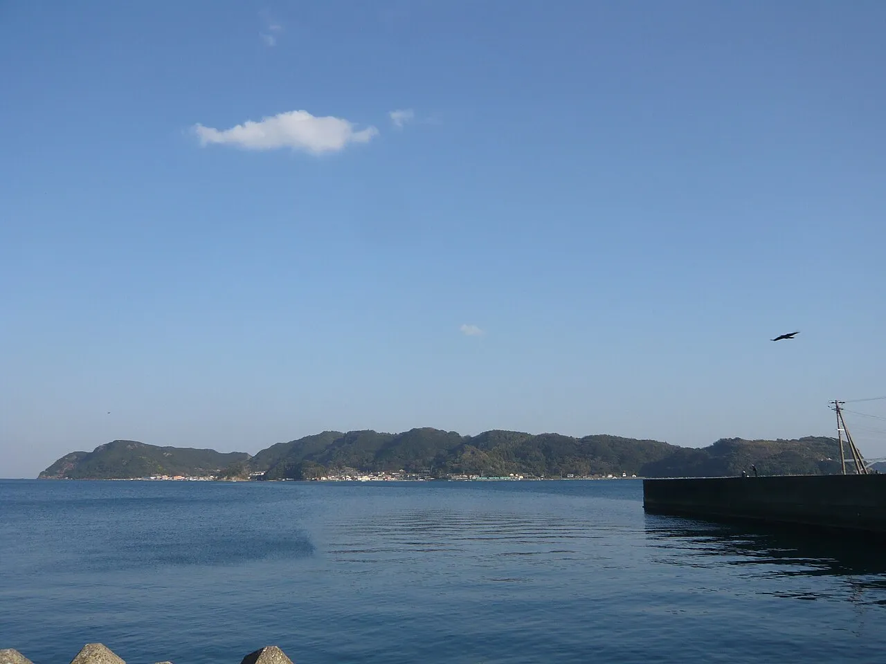
Kii Ōshima is an island. Location: Kushimoto Chō, Higashimuro-gun. Population: 2,000.
Kii Ōshima (紀伊大島) is an inhabited island lying off the southern tip of the Kii Peninsula and the southernmost point of Honshū, Japan. It has an estimated population of around 2000, and is administratively part of the town of Kushimoto in Wakayama Prefecture. The island is approximately 8 kilometres (5.0 mi) in length from east-to-west by 2.5 kilometres (1.6 mi) north-to-south.
Source: Wikipedia · CC BY-SA 4.0
At a glance
- Length
- 6 km
- Area
- 9.7 km²
Source: Wikidata
Photos of Kii Ōshima
-

reo_nishi_1224 · CC BY 4.0 -

Gohachiyasu1214 · CC BY-SA 4.0 -

Gohachiyasu1214 · CC BY-SA 4.0


Climate of Kii Ōshima
Best months for sightseeingBest months for sightseeing: May–June, September–October.
This month · November
A wet month
Day 18° · Night 11° · Rain 165 mm
Better nearby cities in November
- Kochi · 213 km west18°
- Fujinomiya · 321 km northeast18°
- Fuji · 323 km northeast20°
- Hottest month
- August (day 29°)
- Coldest month
- January (night 4°)
- Wettest month
- June (347 mm)
- Driest month
- December (76 mm)
Bars: average monthly low and high temperature. Below: precipitation. Monthly averages for 1970–2000 at about 18 km resolution, adjusted for elevation. Highlighted months are mild and relatively dry. Source: WorldClim 2.1 (CC BY 4.0).
Show values as a table
| Month | Jan | Feb | Mar | Apr | May | Jun | Jul | Aug | Sep | Oct | Nov | Dec |
|---|---|---|---|---|---|---|---|---|---|---|---|---|
| Average high (°C) | 11° | 11° | 14° | 19° | 22° | 24° | 28° | 29° | 27° | 22° | 18° | 13° |
| Average low (°C) | 4° | 4° | 6° | 11° | 15° | 19° | 23° | 23° | 21° | 16° | 11° | 6° |
| Precipitation (mm) | 89 | 102 | 157 | 223 | 241 | 347 | 254 | 234 | 314 | 209 | 165 | 76 |
Other places to visit in this season: May June September October
How to get to Kii Ōshima
The nearest airport is Nanki Shirahama Airport (SHM), 48 km to the northwest as the crow flies. For international flights: Kansai International Airport (KIX) (119 km). The nearest large city is Minato, 104 km to the northwest.
Airports
- Nanki Shirahama Airport (SHM) Shirahama 48 kmnorthwest
- Kansai International Airport (KIX) Osaka 119 kmnorthwest
- Tokushima Awaodori Airport / JMSDF Tokushima Air Base (TKS) Tokushima 135 kmnorthwest
Nearby large cities
- Minato Population: 375.3K 104 kmnorthwest
- Wakayama Population: 356.7K 105 kmnorthwest
- Kashiwara Population: 120.9K 109 kmnorth
- Kawachi-Nagano Population: 101.7K 110 kmnorth
- Izumisano Population: 100.1K 116 kmnorthwest
Straight-line distances; road distances are longer. Airport data: OurAirports.
Day trips from Kii Ōshima
Within 100 km: 9 natural sites, 2 lakes, rivers and coasts.
25–60 km2 places
- Kumano River River 33 kmNE
- Kii Hantō Natural site 60 kmN
60–100 km9 places
- Mount Ōdaigahara Mountain 83 kmN
- Mount Kunimi Mountain 95 kmN
- Mount Shisuniwa Mountain 95 kmN
- Choshi River River 80 kmNE
Straight-line distances.
Nearest towns and villages
-
Kushimoto Town, Kushimoto Chō4.6 km W
-
 Taiji Chō Municipality, Higashimuro-gun18 km NE
-
Taiji Village, Taiji Chō17 km NE
-
 Nachi-katsuura Chō Municipality, Higashimuro-gun20 km N
-
 Kozagawa Chō Municipality, Higashimuro-gun18 km NW
-
 Susami Chō Municipality, Nishimuro-gun27 km NW
Sources & licences
Data last updated: · 2 independent sources