Shimonoseki
Local name: 下関市
Located in Shimonoseki Shi, Yamaguchi Coordinates: 33°57′20″ N 130°56′14″ E
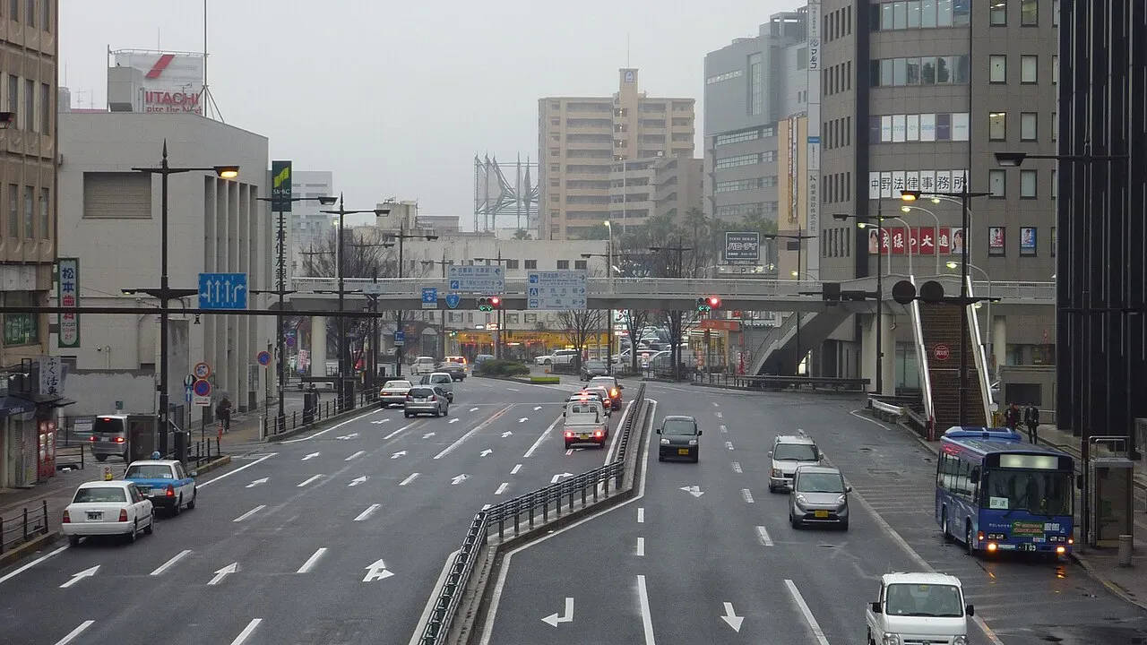
- Population
- 265,684
- 265.7K
- Elevation
- 10 m
- above sea level
- Local time
- UTC+09:00
- Asia/Tokyo · UTC+09:00
- Airports
- KKJ Kitakyushu Airport15 km
- UBJ Yamaguchi Ube Airport32 km
About Shimonoseki
Shimonoseki is a city. Location: Shimonoseki Shi, Yamaguchi. Population: 265,684. Elevation: 10 m.
Shimonoseki (Japanese: 下関市, Hepburn: Shimonoseki-shi) is a city located in Yamaguchi Prefecture, Japan. The city used to be referred to as Bakan (馬関). As of 30 June 2023, the city had an estimated population of 248,193 in 128,762 households and a population density of 350 persons per km2. The total area of the city is 716.18 square kilometres (276.52 sq mi). It is the largest city in Yamaguchi Prefecture and the fifth-largest city in the Chūgoku region in terms of population.
Source: Wikipedia · CC BY-SA 4.0
Photos of Shimonoseki
-

Olegushka · CC0 -

663highland · CC BY 2.5 -

Cheng-en Cheng · CC BY-SA 2.0 -

Cheng-en Cheng · CC BY-SA 2.0 -

そらみみ · CC BY-SA 4.0


Travel notes for Shimonoseki
From Wikivoyage
Shimonoseki (下関市 Shimonoseki-shi) is a city in Yamaguchi prefecture and the westernmost municipality on Honshu, home to a quarter million inhabitants. The city has been at the center of Japanese history for centuries, but it's best known to culinary daredevils as the home of fugu, a pufferfish as cute looking as it is potentially lethal.
Understand+
Guarding the entrance to the Kanmon Straits that separate Honshu from Kyushu, the strategically located "Lower Barrier" played a role in three battles that triggered major changes in Japanese history. In 1185, the Battle of Dan-no-ura took place in the Straits, ending in a decisive victory for the Minamoto clan; the victory brought the Genpei War to a close, and with it the classical Heian period of Japanese culture. Shortly afterward, a new shogunate was established in Kamakura.
In 1863, another battle thrust Shimonoseki onto the world stage. Fueled by disgust with the terms of the treaty that opened Japanese ports to Western nations, warriors of the Choshu domain rebelled, expelling foreigners and blocking the passage of trade ships through the Kanmon Straits. The Bombardment of Shimonoseki was conducted twice by a fleet of warships from England, the Netherlands, France, and the United States (in the midst of its own civil war), in July 1863 and September 1864, and forced the Choshu domain to surrender. Their open defiance served to undermine the Tokugawa shogunate, however, which fell only three years later.
Although the fighting took place elsewhere, the treaty that ended the First Sino-Japanese War in 1895 was signed in Shimonoseki, marking a stage in the ascent of the newly-modernized Japanese Navy — and the nation as a major regional military power. The treaty also ceded Taiwan to Japan, and it was not returned to China until Japan's defeat in World War II. The treaty also forced China to give up control over its vassal state Korea, thus paving the way for Japan to colonize Korea outright in 1910.
Today, Shimonoseki has a busy international port, with frequent traffic from China and South Korea, among others. It faces Kitakyushu across the Kanmon Straits, forming one of the world's busiest lanes of maritime shipping.
Tourist information:
Tourist information is available at JR Shimonoseki Station and JR Shin-Shimonoseki Station.
Get in+
By train:
1 JR Shimonoseki Station (下関駅), Takezakichō 4-3, ☏ +81 83-232-8383. 09:00-19:00. The next-to-last stop on the San'yo Main Line and the last stop on the San'in Main Line.
2 JR Shin-Shimonoseki Station (新下関駅) (Seven minutes away from JR Shimonoseki Station by local trains and buses.), ☏ +81 83-256-3422. 09:00-19:00. The local shinakansen stop. Only the all-stops Kodama trains stop at Shin-Shimonoseki, along with three daily Hikari trains in each direction (toward Hakata in the morning, from Hakata in the evening).
If you're coming from a long distance, the best option is to take a Nozomi or Hikari train to Kokura on Kyushu, and then backtrack on the San'yo Main Line via Moji Station in Kitakyushu. By this route, Shimonoseki can be reached by Nozomi in about 5 1/2 hours from Tokyo and 2 1/2 hours from Osaka.
By bus:
The Dream Fukufuku bus runs overnight from Tokyo and Yokohama (15 1/2 hours, ¥13000). Another Fukufuku departs nightly from Osaka Umeda (10 hours, ¥9150).
By ferry:
3 Shimonoseki Port (下関市港湾局), Higashiyamatomachi 1-10-50 (a short walk from JR Shimonoseki Station), ☏ +81 83-231-1390. There are high-speed ferries throughout the day from Moji Port in Kitakyushu. (updated Feb 2018)
Busan-Shimonoseki:
Kampu Ferry, ☏ +81 83 224-3000 (Japan), +82 51 464-2700 (Korea). daily service. 13½ hr; from ¥9,000. Ferries leave Busan at 20:00 and arrive in Shimonoseki at 08:00 the next morning, and leave Shimonoseki at 19:00 for an 08:30 arrival in Busan (08:00 on Monday). 2nd class one-way tickets cost ¥9000, making this the cheapest way to get from Japan to another country. Arrive a few hours early for visa inspection, though!
By car:
For those travelling the expressways and only wanting a bit of fugu, even the Nexco Parking Areas either side of the Kanmon Bridge offer it in a variety of pre-prepared forms including frozen sashimi omiyage platters. The views are rather nice too making it a worthwhile break regardless.
Source: Wikivoyage · CC BY-SA 4.0 · abridged
Places bordering Shimonoseki
- Nagato
- Mine Shi
- San'yō-onoda Shi
- Kitakyushu City
Twin towns and sister cities of Shimonoseki
- Istanbul· Turkey
- Kikugawa-shi· Japan
Source: Wikidata. Only places with a page on this site are shown.
Population of Shimonoseki over time
| 2010 | 280,947 | |
|---|---|---|
| 2015 | 268,517 | |
| 2021 | 252,844 |
Censuses and official estimates; source: Wikidata.
Climate of Shimonoseki
Best months for sightseeingBest months for sightseeing: May–June, October.
This month · November
Outside the best season
Day 17° · Night 9° · Rain 78 mm
Better nearby cities in November
- Beppu · 91 km southeast17°
- Ōita · 101 km southeast18°
- Nobeoka · 167 km southeast18°
- Hottest month
- August (day 30°)
- Coldest month
- January (night 3°)
- Wettest month
- July (284 mm)
- Driest month
- December (63 mm)
Bars: average monthly low and high temperature. Below: precipitation. Monthly averages for 1970–2000 at about 18 km resolution, adjusted for elevation. Highlighted months are mild and relatively dry. Source: WorldClim 2.1 (CC BY 4.0).
Show values as a table
| Month | Jan | Feb | Mar | Apr | May | Jun | Jul | Aug | Sep | Oct | Nov | Dec |
|---|---|---|---|---|---|---|---|---|---|---|---|---|
| Average high (°C) | 9° | 10° | 13° | 18° | 22° | 25° | 29° | 30° | 27° | 22° | 17° | 12° |
| Average low (°C) | 3° | 3° | 6° | 10° | 15° | 19° | 23° | 24° | 20° | 15° | 9° | 5° |
| Precipitation (mm) | 76 | 84 | 110 | 158 | 158 | 274 | 284 | 139 | 199 | 98 | 78 | 63 |
How to get to Shimonoseki
The nearest airport is Kitakyushu Airport (KKJ), 15 km to the southeast as the crow flies. The nearest large city is Ube, 29 km to the east.
Airports
- Kitakyushu Airport (KKJ) Kitakyushu 15 kmsoutheast
- Yamaguchi Ube Airport (UBJ) Ube 32 kmeast
- Fukuoka Airport (FUK) Fukuoka 61 kmsouthwest
Nearby large cities
- Ube Population: 173.7K 29 kmeast
- Iizuka Population: 126.4K 42 kmsouthwest
- Yamaguchi Population: 194K 55 kmnortheast
- Hōfu Population: 116.9K 59 kmeast
- Ōnojō Population: 102.1K 63 kmsouthwest
Straight-line distances; road distances are longer. Airport data: OurAirports.
Day trips from Shimonoseki
Within 100 km: 15 historic and cultural sites, 13 natural sites, 11 lakes, rivers and coasts.
0–25 km7 places
- Hiko Shima Island 4 kmSW
- Kōzan Ji Attraction 6 kmNE
- Kanmon Kyō Landmark 2 kmE
- Wakato Ōhashi Landmark 13 kmSW
25–60 km4 places
- Tsuno Shima Island 45 kmN
- Aino-Island Island 57 kmW
- Mount Hōman Mountain 57 kmSW
- Mount Hiko Mountain 53 kmS
60–100 km28 places
- Okino-shima Island 83 kmNW
- Su Shima Island 74 kmE
- Hime Shima Island 72 kmE
- Ōtsu Shima Island 71 kmE
Straight-line distances.
Shimonoseki and similar cities
Side by side with cities of similar size in the same country: population, elevation and climate.
| Measure | Shimonoseki | Nagaoka | Tokushima | Fuchū |
|---|---|---|---|---|
| Population | 265.7K | 266.9K | 267.3K | 262.8K |
| Elevation | 10 m | 23 m | 3 m | 59 m |
| Summer day (hottest month) | 30° | 30° | 31° | 30° |
| Winter night (coldest month) | 3° | -3° | 2° | -1° |
| Annual rainfall | 1,721 mm | 2,209 mm | 1,618 mm | 1,484 mm |
| Best months | May–Jun, Oct | May–Jun, Sep–Oct | May–Jun, Oct | Apr–Jun, Sep–Oct |
| Distance | — | 814 km | 335 km | 804 km |
Climate values are 1970–2000 monthly averages; straight-line distance.
Nearby attractions & nature
Everything nearby-
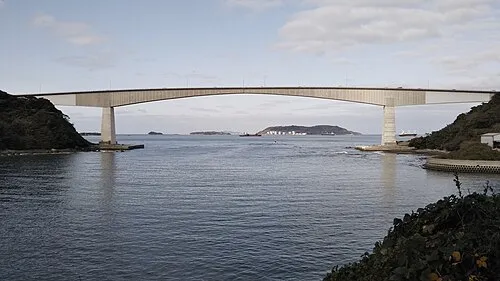 Hiko Shima Island, Shimonoseki Shi3.6 km SW
-
Kanmon Kyō Landmark, Japan2.1 km E
-
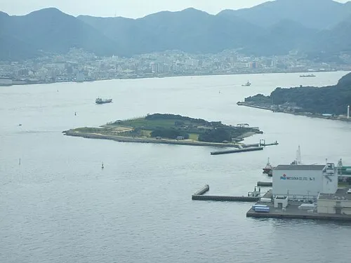 Ganryū-jima Island, Yamaguchi2.5 km S
-
Kōzan Ji Attraction, Shimonoseki Shi6.1 km NE
-
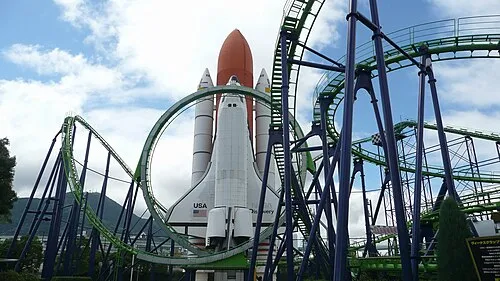 Space World Natural site, Yahata-higashi Ku15 km SW
-
Wakato Ōhashi Landmark, Fukuoka13 km SW
-
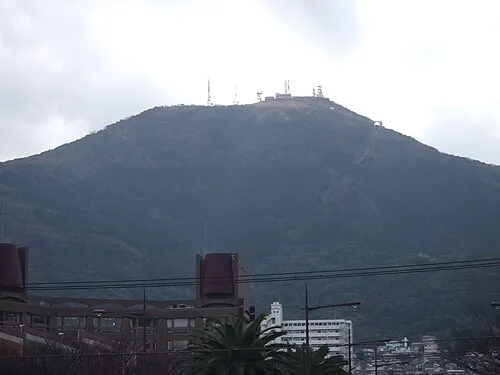 Mount Sarakura Mountain, Yahata-higashi Ku18 km SW
Sources & licences
Data last updated: · 2 independent sources