- Elevation
- 0 m
- above sea level
- Local time
- UTC+09:00
- Asia/Tokyo · UTC+09:00
- Airports
- TKS Tokushima Awaodori Airport / JMSDF Tokushima Air Base6 km
- TAK Takamatsu Airport56 km
About Yoshino River
Yoshino River is a river. Location: Japan.
The Yoshino River (吉野川 Yoshino-gawa) is a Class A river on the island of Shikoku, Japan. It is 194 km (121 mi) long and has a watershed of 3,750 km2 (1,450 sq mi). It is the second longest river in Shikoku (slightly shorter than the Shimanto), and is the only river whose watershed spreads across all four prefectures of the island.
Read more on Wikipedia Text: Wikipedia contributors · CC BY-SA 4.0 · shortened
At a glance
- Length
- 236 km
Source: Wikidata
Climate of Yoshino River
Best months for sightseeingBest months for sightseeing: May–June, October.
Bars: average monthly low and high temperature. Below: precipitation. Monthly averages for 1970–2000 at about 18 km resolution, adjusted for elevation. Highlighted months are mild and relatively dry. Source: WorldClim 2.1 (CC BY 4.0).
Show values as a table
| Month | Jan | Feb | Mar | Apr | May | Jun | Jul | Aug | Sep | Oct | Nov | Dec |
|---|---|---|---|---|---|---|---|---|---|---|---|---|
| Average high (°C) | 10° | 10° | 14° | 19° | 23° | 26° | 30° | 31° | 28° | 22° | 17° | 12° |
| Average low (°C) | 2° | 2° | 5° | 11° | 15° | 19° | 24° | 24° | 21° | 15° | 9° | 4° |
| Precipitation (mm) | 48 | 58 | 89 | 142 | 146 | 237 | 171 | 166 | 288 | 140 | 94 | 39 |
Airports nearest to Yoshino River
- Tokushima Awaodori Airport / JMSDF Tokushima Air Base (TKS) Tokushima 6 km
- Takamatsu Airport (TAK) Takamatsu 56 km
- Kansai International Airport (KIX) Osaka 71 km
Straight-line distance; airports with scheduled flights only. Source: OurAirports (public domain).
Nearest towns and villages
-
Tokushima City, Tokushima Shi3.3 km W
-
Matsushige Chō Municipality, Itano-gun6.1 km N
-
Kitajima Chō Municipality, Itano-gun7.2 km NW
-
Takabō Town, Kitajima Chō8.3 km NW
-
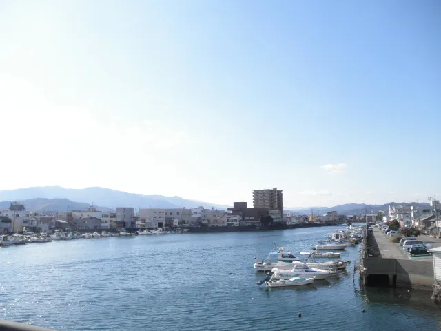 Komatsushimachō City, Komatsushima Shi8.8 km S
-
Aizumi Chō Municipality, Itano-gun11 km NW
Nearby attractions & nature
Everything nearby-
Shinmachi River River, Tokushima3.1 km SW
-
Naka Gawa River, Tokushima17 km SE
-
Ōnaruto Brdige Landmark, Japan18 km N
More lakes, rivers and coasts in Japan
-
 Awaji Island Island, Hyōgo40 km NE
-
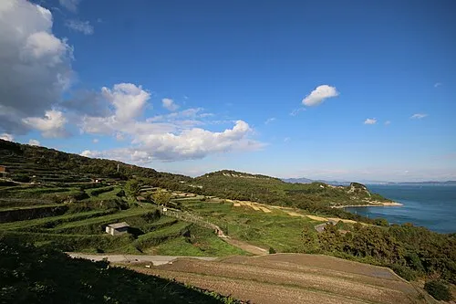 Te Shima Island, Kagawa66 km NW
-
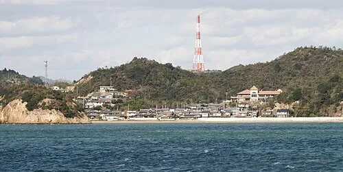 Nao Shima Island, Kagawa71 km NW
-
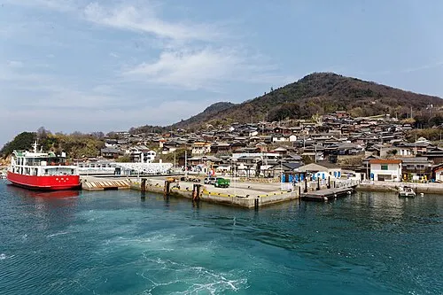 Ogi Shima Island, Kagawa63 km NW
-
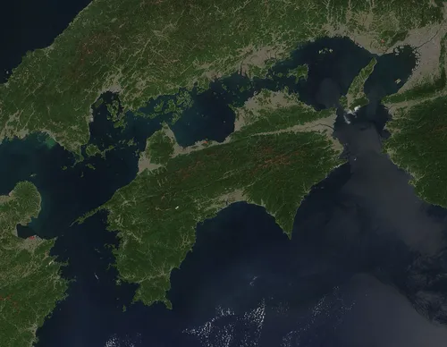 Shikoku Island, Japan108 km W
-
 Shiwaku Islands Island, Kagawa88 km NW
Sources & licences
Data last updated: · 2 independent sources