
- Population
- 1,575
- 1.6K
- Elevation
- 306 m
- above sea level
- Local time
- UTC+01:00
- Europe/Luxembourg · UTC+01:00
- Airports
- LUX Luxembourg-Findel International Airport17 km
- ETZ Metz-Nancy-Lorraine Airport62 km
About Bergem
Bergem is a village. Location: Mondercange, Esch-sur-Alzette. Population: 1,575. Elevation: 306 m.
Bergem (Luxembourgish: Biergem, pronounced [ˈbi̯əʑəm] ) is a town in the commune of Mondercange, in south-western Luxembourg. As of September 2026, the town has a population of 1,573 inhabitants. In close proximity to the town is the confluence of the Alzette and Mess rivers, upon which the Lameschmillen water mill was constructed in twelfth century.
Source: Wikipedia · CC BY-SA 4.0
Photos of Bergem
-

Mont Saint-Jean Cornischong at Luxembourgish Wikipedia · CC BY-SA 3.0 -

Mess Johnny Chicago at lb.wikipedia · CC BY-SA 3.0


Population of Bergem over time
| 2021 | 1,522 | |
|---|---|---|
| 2022 | 1,515 | |
| 2023 | 1,558 |
Censuses and official estimates; source: Wikidata.
Climate of Bergem
Best months for sightseeingBest months for sightseeing: June–August.
This month · November
A cold month
Day 8° · Night 2° · Rain 80 mm
- Hottest month
- July (day 23°)
- Coldest month
- January (night -1°)
- Wettest month
- December (94 mm)
- Driest month
- April (56 mm)
Bars: average monthly low and high temperature. Below: precipitation. Monthly averages for 1970–2000 at about 18 km resolution, adjusted for elevation. Highlighted months are mild and relatively dry. Source: WorldClim 2.1 (CC BY 4.0).
Show values as a table
| Month | Jan | Feb | Mar | Apr | May | Jun | Jul | Aug | Sep | Oct | Nov | Dec |
|---|---|---|---|---|---|---|---|---|---|---|---|---|
| Average high (°C) | 4° | 5° | 9° | 13° | 18° | 21° | 23° | 23° | 19° | 13° | 8° | 5° |
| Average low (°C) | -1° | -1° | 1° | 4° | 8° | 11° | 13° | 12° | 9° | 6° | 2° | 0° |
| Precipitation (mm) | 82 | 66 | 70 | 56 | 71 | 73 | 67 | 58 | 67 | 82 | 80 | 94 |
How to get to Bergem
The nearest airport is Luxembourg-Findel International Airport (LUX), 17 km to the northeast as the crow flies. The nearest large city is Metz, 46 km to the south.
Airports
- Luxembourg-Findel International Airport (LUX) Luxembourg 17 kmnortheast
- Metz-Nancy-Lorraine Airport (ETZ) Goin 62 kmsouth
- Saarbrücken Airport (SCN) Saarbrücken 85 kmsoutheast
Nearby large cities
- Metz Population: 123.9K 46 kmsouth
- Trier Population: 100.1K 50 kmnortheast
- Saarbrücken Population: 183K 77 kmsoutheast
- Nancy Population: 105.1K 94 kmsouth
- Liège Population: 195.3K 128 kmnorth
Straight-line distances; road distances are longer. Airport data: OurAirports.
Day trips from Bergem
Within 100 km: 206 historic and cultural sites, 1,804 natural sites, 509 lakes, rivers and coasts.
0–25 km36 places
- Bois Pertot Natural site 23 kmW
- Bois de Musson Natural site 24 kmW
- Kindel Busch Natural site 24 kmNW
- Jungen Busch Natural site 18 kmW
25–60 km547 places
- Château de Berg Historic site 32 kmN
- Étang des Épioux Lake 60 kmNW
- Montagne de Stockem Mountain 28 kmNW
- Bois de Willancourt Natural site 26 kmW
60–100 km1,936 places
- Étang de Boiron Lake 97 kmNW
- Lac de Nisramont Lake 74 kmN
- Mont de la Tour de Coo Mountain 98 kmN
- Steinkopf Mountain 75 kmN
Straight-line distances.
Nearby attractions & nature
Everything nearby-
Mess River, Esch-sur-Alzette1.3 km S
-
Mont Saint-Jean Mountain, Dudelange4.9 km S
-
Ruisseau de Dudelange River, France4.3 km E
-
Deutsch-Oth Concentration Camp Historic site, Audun-le-Tiche8.5 km SW
-
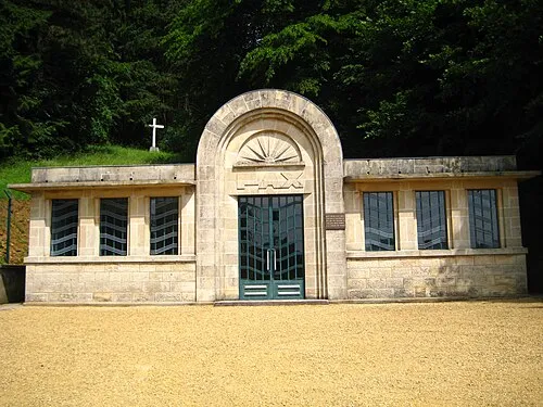 Thil Concentration Camp Historic site, Thil11 km SW
-
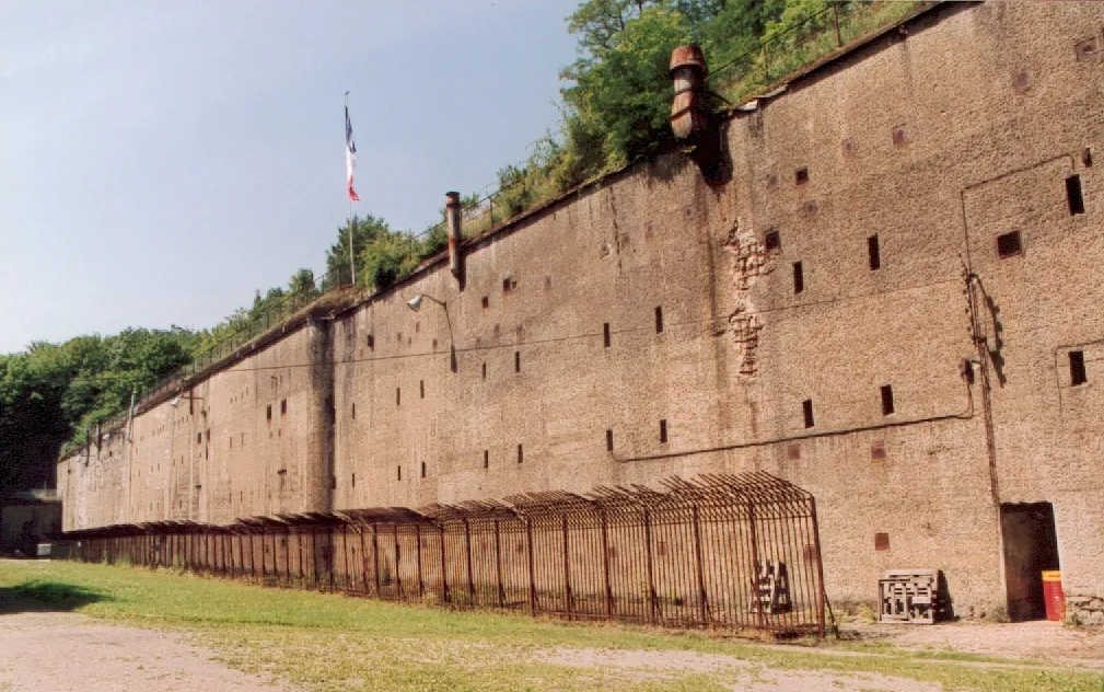 Fort de Guentrange Historic site, Grand Est18 km S
Sources & licences
Data last updated: · 2 independent sources