Będzin Ghetto
Local name: Getto w Będzinie
Located in Będzin, Będzin County Coordinates: 50°20′00″ N 19°09′00″ E
- Local time
- UTC+01:00
- Europe/Warsaw · UTC+01:00
- Elevation
- 259 m
- above sea level
- Airports
- KTW Katowice Wojciech Korfanty International Airport17 km
- KRK Kraków John Paul II International Airport53 km
About Będzin Ghetto
Będzin Ghetto is a historic site. Location: Będzin, Będzin County.
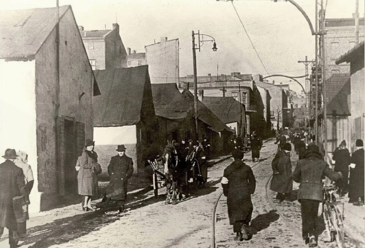
The Będzin Ghetto (a.k.a. the Bendzin Ghetto, Yiddish: בענדינער געטאָ, romanized: Bendiner geto; German: Ghetto von Bendsburg) was a Jewish ghetto established by Nazi Germany for Polish Jews in the town of Będzin in occupied southwestern Poland. The German authorities announced the formation of this ghetto in July 1940.
Source: Wikipedia · CC BY-SA 4.0
Climate of Będzin Ghetto
Best months for sightseeingBest months for sightseeing: May–September.
This month · November
A cold month
Day 7° · Night 0° · Rain 43 mm
- Hottest month
- July (day 24°)
- Coldest month
- January (night -5°)
- Wettest month
- July (96 mm)
- Driest month
- February (31 mm)
Bars: average monthly low and high temperature. Below: precipitation. Monthly averages for 1970–2000 at about 18 km resolution, adjusted for elevation. Highlighted months are mild and relatively dry. Source: WorldClim 2.1 (CC BY 4.0).
Show values as a table
| Month | Jan | Feb | Mar | Apr | May | Jun | Jul | Aug | Sep | Oct | Nov | Dec |
|---|---|---|---|---|---|---|---|---|---|---|---|---|
| Average high (°C) | 1° | 3° | 8° | 14° | 19° | 22° | 24° | 24° | 19° | 14° | 7° | 3° |
| Average low (°C) | -5° | -4° | -1° | 3° | 8° | 11° | 13° | 12° | 9° | 5° | 0° | -3° |
| Precipitation (mm) | 35 | 31 | 37 | 52 | 77 | 95 | 96 | 87 | 65 | 48 | 43 | 42 |
Other places to visit in this season: May June July August September
How to get to Będzin Ghetto
The nearest airport is Katowice Wojciech Korfanty International Airport (KTW), 17 km to the north as the crow flies. The nearest large city is Brno, 223 km to the southwest.
Airports
- Katowice Wojciech Korfanty International Airport (KTW) Katowice 17 kmnorth
- Kraków John Paul II International Airport (KRK) Balice 53 kmsoutheast
- Leoš Janáček Airport Ostrava (OSR) Mošnov 103 kmsouthwest
Nearby large cities
- Brno Population: 404.3K 223 kmsouthwest
- Košice Population: 225K 236 kmsoutheast
- Miskolc Population: 154.5K 275 kmsoutheast
- Bratislava Population: 423.7K 285 kmsouthwest
- Győr Population: 129.3K 315 kmsouth
Straight-line distances; road distances are longer. Airport data: OurAirports.
Day trips from Będzin Ghetto
Within 100 km: 70 historic and cultural sites, 158 natural sites.
0–25 km14 places
- Góra Stodolska Mountain 21 kmE
- Kattowitz Concentration Camp Historic site 12 kmSW
- Eintrachthütte Concentration Camp Historic site 17 kmW
- Fürstengrube Concentration Camp Historic site 16 kmS
25–60 km50 places
- Zielona Góra Mountain 50 kmN
- Wielki Dział Mountain 52 kmS
- Berkowa Mountain 38 kmNE
- Hrobacza Łąka Mountain 57 kmS
60–100 km164 places
- Gírová Mountain 93 kmS
- Beskid Żywiecki Mountain 98 kmS
- Beskid Śląski Mountain 90 kmS
- Główniak Mountain 87 kmS
Straight-line distances.
Nearby attractions & nature
Everything nearby-
Lagischa Concentration Camp Historic site, Będzin2 km N
-
Dąbrowa Górnicza Ghetto Historic site, Dąbrowa Górnicza3.6 km E
-
Czeladź Ghetto Historic site, Czeladź4 km SW
-
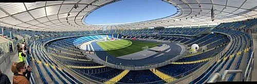 Silesia Stadium Landmark, Chorzów14 km W
-
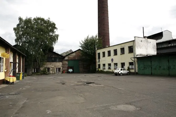 Laurahütte Concentration Camp Historic site, Siemianowice Śląskie8.6 km W
-
Strzemieszyce Wielkie Ghetto Historic site, Dąbrowa Górnicza8.8 km E
-
Kattowitz Concentration Camp Historic site, Katowice12 km SW
-
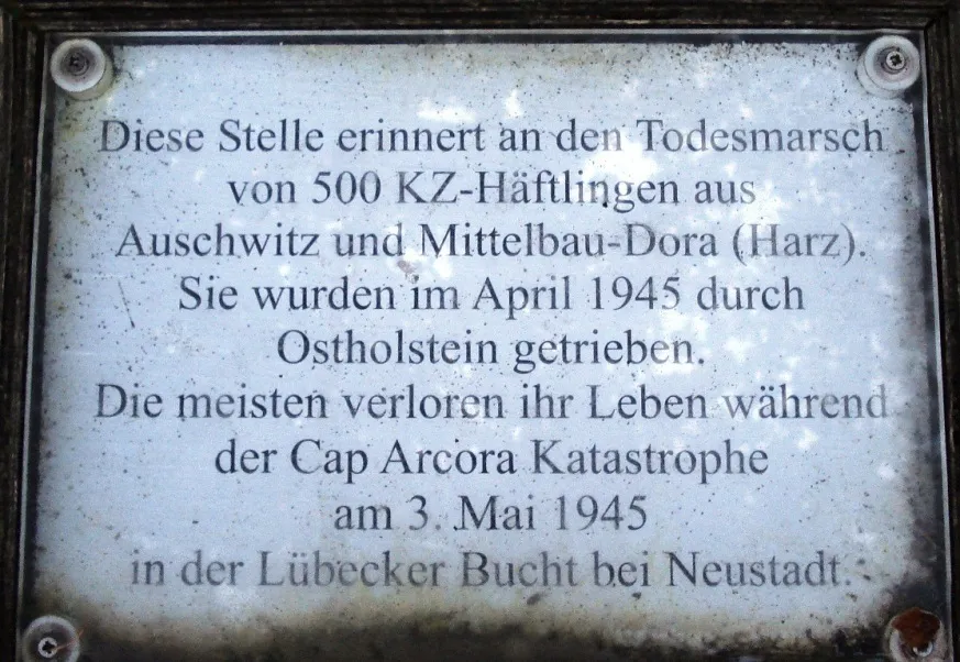 Fürstengrube Concentration Camp Historic site, Mysłowice16 km S
Nearest towns and villages
Sources & licences
Data last updated: · 2 independent sources