- Elevation
- 502 m
- above sea level
- Local time
- UTC+01:00
- Europe/Warsaw · UTC+01:00
- Airports
- RDO Warsaw Radom Airport59 km
- RZE Rzeszów-Jasionka Airport115 km
About Łysogóry
Łysogóry is a mountain. Location: Świętokrzyskie Voivodship, Poland. Elevation: 502 m.
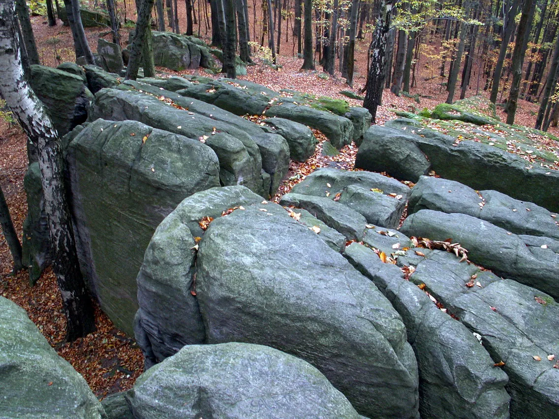
Łysogóry is the largest mountain range in the Świętokrzyskie Mountains of central Poland. It is 25 km long, and runs from the Lubrzanka river in the northwest to the area of Nowa Słupia in the southeast. It contains the highest peak of the Świetokrzyskie Mountains (Łysica) and its mountain (Łysa Góra).
Source: Wikipedia · CC BY-SA 4.0
Climate of Łysogóry
Best months for sightseeingBest months for sightseeing: June–August.
This month · November
A cold month
Day 4° · Night -2° · Rain 42 mm
- Hottest month
- July (day 22°)
- Coldest month
- January (night -8°)
- Wettest month
- July (88 mm)
- Driest month
- February (30 mm)
Bars: average monthly low and high temperature. Below: precipitation. Monthly averages for 1970–2000 at about 18 km resolution, adjusted for elevation. Highlighted months are mild and relatively dry. Source: WorldClim 2.1 (CC BY 4.0).
Show values as a table
| Month | Jan | Feb | Mar | Apr | May | Jun | Jul | Aug | Sep | Oct | Nov | Dec |
|---|---|---|---|---|---|---|---|---|---|---|---|---|
| Average high (°C) | -2° | 0° | 5° | 11° | 17° | 20° | 22° | 21° | 16° | 11° | 4° | 0° |
| Average low (°C) | -8° | -6° | -3° | 1° | 6° | 9° | 11° | 10° | 7° | 3° | -2° | -5° |
| Precipitation (mm) | 35 | 30 | 36 | 43 | 57 | 76 | 88 | 78 | 57 | 44 | 42 | 43 |
How to get to Łysogóry
The nearest airport is Warsaw Radom Airport (RDO), 59 km to the north as the crow flies. For international flights: Rzeszów-Jasionka Airport (RZE) (115 km). The nearest large city is Košice, 242 km to the south.
Airports
- Warsaw Radom Airport (RDO) Radom 59 kmnorth
- Rzeszów-Jasionka Airport (RZE) Jasionka 115 kmsoutheast
- Kraków John Paul II International Airport (KRK) Balice 122 kmsouthwest
Nearby large cities
- Košice Population: 225K 242 kmsouth
- Miskolc Population: 154.5K 309 kmsouth
- Nyíregyháza Population: 117.7K 330 kmsouth
- Brno Population: 404.3K 363 kmsouthwest
- Satu Mare Population: 112.5K 370 kmsoutheast
Straight-line distances; road distances are longer. Airport data: OurAirports.
Day trips from Łysogóry
Within 100 km: 93 historic and cultural sites, 27 natural sites.
0–25 km25 places
- Góra Miejska Mountain 5 kmN
- Pasmo Masłowskie Mountain 15 kmW
- Zamczysko Mountain 14 kmS
- Wysokówka Mountain 11 kmS
25–60 km38 places
- Pasmo Małogoskie Mountain 56 kmW
- Pasmo Wygiełzowskie Mountain 31 kmSE
- Kamieniarska Góra Mountain 46 kmNW
- Pasmo Dymińskie Mountain 28 kmW
60–100 km57 places
- Góra Diabla Mountain 76 kmNW
- Pasmo Przedborskie Mountain 73 kmW
- Góra Kozłowa Mountain 69 kmW
- Góra Chełmo Mountain 87 kmW
Straight-line distances.
Nearest towns and villages
-
Bieliny Village, Bieliny3.8 km S
-
Bieliny Municipality, Kielce County5.7 km S
-
Bodzentyn Municipality, Kielce County7 km N
-
Święta Katarzyna Village, Bodzentyn5.5 km NW
-
Bodzentyn Village, Bodzentyn6.5 km N
-
Gmina Nowa Słupia Municipality, Kielce County8.9 km E
Nearby attractions & nature
Everything nearby-
Szczygiełkowa - Przełęcz Św. Mikołaja 535m. Mountain, Bieliny1.3 km W
-
Lysica - 612 m. n. p. m. Mountain, Bodzentyn3.9 km W
-
Góra Miejska Mountain, Bodzentyn5.2 km N
-
Annopol-Rachów Ghetto Historic site, Gmina Nowa Słupia3.5 km E
-
Wysokówka Mountain, Gmina Daleszyce11 km S
-
Pasmo Orłowińskie Mountain, Świętokrzyskie Voivodship11 km S
-
 Bukowa Góra Mountain, Łączna12 km NW
-
Jeleniowska Mountain, Gmina Nowa Słupia13 km SE
Sources & licences
Data last updated: · 2 independent sources