- Population
- 1,237,369
- 1.2M
- Elevation
- 252 m
- above sea level
- Local time
- UTC+01:00
- Europe/Warsaw · UTC+01:00
- Places inside
- 21
- listed under Świętokrzyskie Voivodship
- Airports
- RDO Warsaw Radom Airport78 km
- KRK Kraków John Paul II International Airport101 km
About Świętokrzyskie Voivodship
Świętokrzyskie Voivodship is a region. Location: Poland. Population: 1,237,369.
Świętokrzyskie Voivodeship (Polish: województwo świętokrzyskie [vɔjɛˈvut͡stfɔ ɕfjɛntɔˈkʂɨskʲɛ] ), also known as Holy Cross Voivodeship, is a voivodeship (province) in southeastern Poland, in the historical region of Lesser Poland. The province's capital and largest city is Kielce. The voivodeship takes its name from the Świętokrzyskie (Holy Cross) Mountains.
Source: Wikipedia · CC BY-SA 4.0
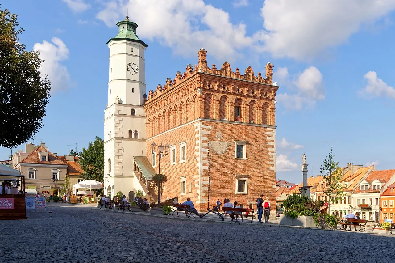
Photos of Świętokrzyskie Voivodship
-

Lukuu123 · CC BY-SA 4.0

Travel notes for Świętokrzyskie Voivodship
From Wikivoyage
Świętokrzyskie Voivodeship (Polish: województwo świętokrzyskie) is a voivodeship in the south of Poland.
Understand+
The Świętokrzyskie region of Poland boasts a vast land of unspoilt nature, picturesque hilly landscapes, health resorts and spas as well as numerous monuments of historical interest that date back to prehistoric and medieval times.
The Świętokrzyskie Mountains are one of the oldest on our planet, with beautiful jura caves, e.g. the Paradise Cave, and numerous fossils. Świętokrzyskie is also one of the oldest heritage of Poland with its center in Wiślica. In the early Middle Ages Świętokrzyskie was part of Lesser Poland which was the most important part of Poland after the Polish capital had been moved from Gniezno to Kraków in 1040. After 1138 Świętokrzyskie became a duchy with the capital in Sandomierz, but later was again reunited with Lesser Poland. At the beginning of the 14th century, it became a part of the Kingdom of Poland. Great castles and palaces were built in this region during the Polish-Lithuanian Commonwealth period, and Sandomierz was one of the richest cities due to the flourishing Vistula trade route. After the Third Partition of Poland in 1795 most of its territory was annexed by Austria, but became independent as part of the Duchy of Warsaw between 1807-1815. After the Congress of Vienna it became part of the Kingdom of Poland, ruled by the Russian Tsar. After the WWI Świętokrzyskie became part of the Second Polish Republic, but was occupied by Nazi-Germany between 1939 and 1944, when it was part of the German so-called General Government. After the World War II it again became part of Poland.
Get in+
By plane:
There is no international airport in Świętokrzyskie Voivodeship. The nearest airports are Warsaw's Frederic Chopin Airport [1] (WAW IATA), Kraków's John Paul II Balice Airport [2] (KRK IATA), Katowice's Pyrzowice Airport [3] (KTW IATA), Rzeszów's Jasionka Airport [4] (RZE IATA) and Łódź's Lublinek Airport [5] (LCJ IATA).
Source: Wikivoyage · CC BY-SA 4.0 · abridged
Places bordering Świętokrzyskie Voivodship
Climate of Świętokrzyskie Voivodship
Best months for sightseeingBest months for sightseeing: May–August.
This month · November
A cold month
Day 6° · Night 0° · Rain 41 mm
- Hottest month
- July (day 23°)
- Coldest month
- January (night -6°)
- Wettest month
- July (88 mm)
- Driest month
- February (30 mm)
Bars: average monthly low and high temperature. Below: precipitation. Monthly averages for 1970–2000 at about 18 km resolution, adjusted for elevation. Highlighted months are mild and relatively dry. Source: WorldClim 2.1 (CC BY 4.0).
Show values as a table
| Month | Jan | Feb | Mar | Apr | May | Jun | Jul | Aug | Sep | Oct | Nov | Dec |
|---|---|---|---|---|---|---|---|---|---|---|---|---|
| Average high (°C) | 0° | 2° | 7° | 13° | 19° | 22° | 23° | 23° | 18° | 13° | 6° | 2° |
| Average low (°C) | -6° | -5° | -2° | 3° | 7° | 10° | 12° | 12° | 8° | 4° | 0° | -4° |
| Precipitation (mm) | 35 | 30 | 36 | 43 | 55 | 76 | 88 | 78 | 56 | 44 | 41 | 43 |
How to get to Świętokrzyskie Voivodship
The nearest airport is Warsaw Radom Airport (RDO), 78 km to the northeast as the crow flies. For international flights: Kraków John Paul II International Airport (KRK) (101 km). The nearest large city is Miskolc, 294 km to the south.
Airports
- Warsaw Radom Airport (RDO) Radom 78 kmnortheast
- Kraków John Paul II International Airport (KRK) Balice 101 kmsouthwest
- Rzeszów-Jasionka Airport (RZE) Jasionka 115 kmsoutheast
Nearby large cities
- Miskolc Population: 154.5K 294 kmsouth
- Nyíregyháza Population: 117.7K 319 kmsouth
- Brno Population: 404.3K 344 kmsouthwest
- Satu Mare Population: 112.5K 362 kmsoutheast
- Debrecen Population: 202.4K 364 kmsouth
Straight-line distances; road distances are longer. Airport data: OurAirports.
Places in Świętokrzyskie Voivodship
21 places- 1 Kielce County 206.9K
- 2 Kielce 196.8K
- 3 Ostrowiec County 111.1K
- 4 Starachowice County 89.9K
- 5 Jędrzejów County 84K
- 6 Sandomierz County 77.4K
- 7 Końskie County 77K
- 8 Skarżysko County 74.3K
- 9 Busko County 67.8K
- 10 Staszów County 67.3K
- 11 Opatów County 53K
- 12 Włoszczowa County 45.1K
- 13 Pińczów County 39.1K
- 14 Kazimierza County 33.4K
Bar: population relative to the most populous place in this list.
Mountains & nature7
- Łysogóry · Mountain
- Pasmo Chęcińskie · Mountain
- Pasmo Dymińskie · Mountain
- Pasmo Małogoskie · Mountain
- Pasmo Masłowskie · Mountain
- Pasmo Orłowińskie · Mountain
- Pasmo Wygiełzowskie · Mountain
Largest cities and towns
-
Kielce Municipality, Kielce196.8K
-
Końskie Municipality, Końskie County35.7K
-
Ostrowiec Świętokrzyski Municipality, Ostrowiec County69.9K
-
Gmina Daleszyce Municipality, Kielce County15.8K
-
Gmina Masłów Municipality, Kielce County10.8K
-
Bodzentyn Municipality, Kielce County11.6K
-
Gmina Chęciny Municipality, Kielce County15.1K
-
Skarżysko-Kamienna Municipality, Skarżysko County46K
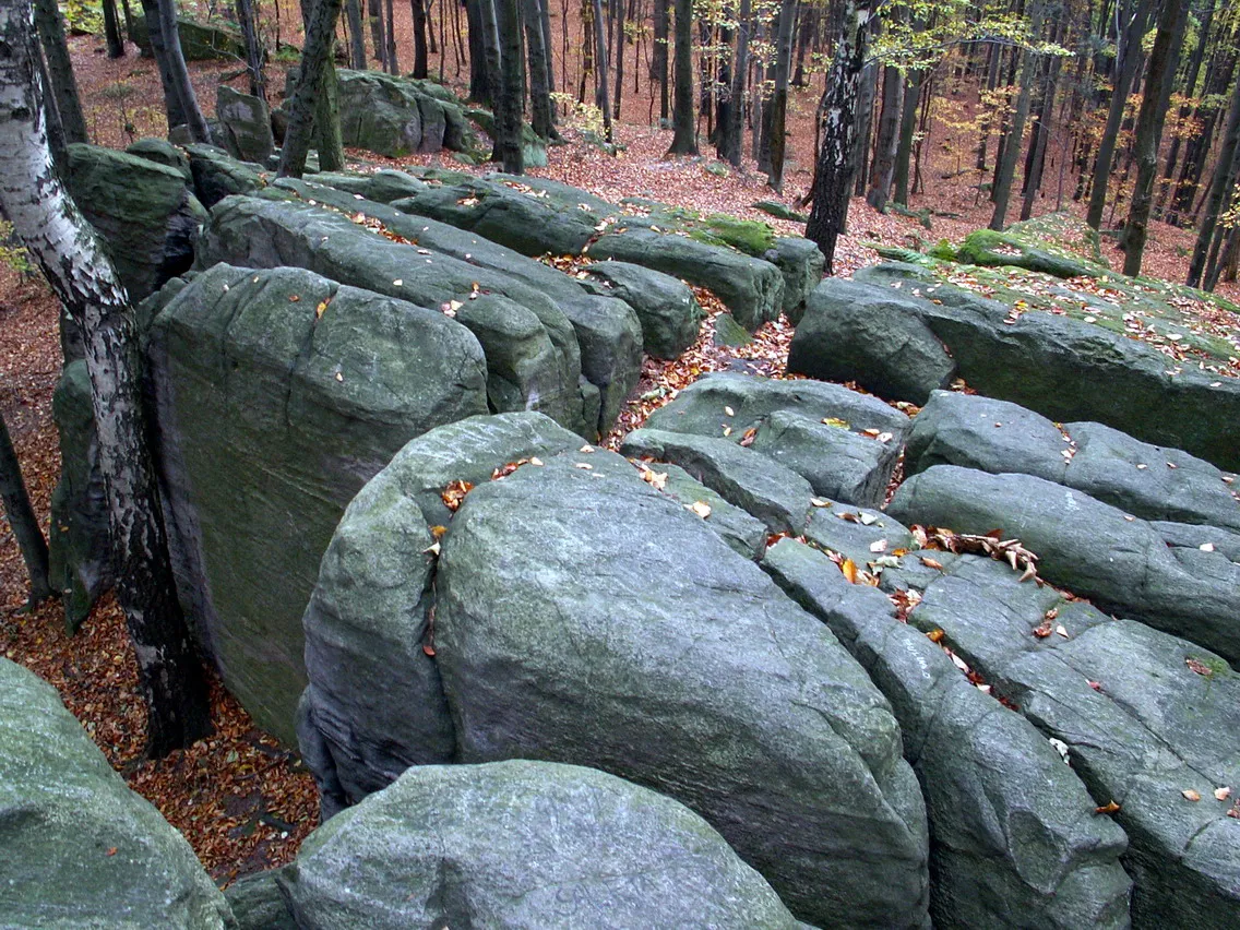
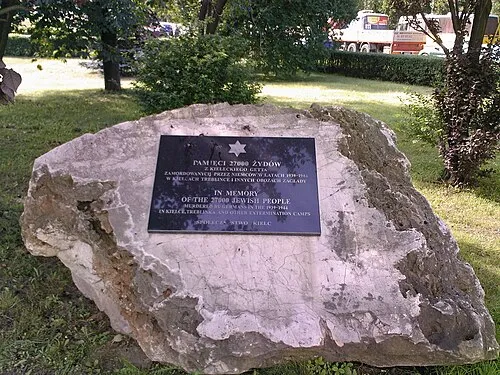
Nature and heritage in Świętokrzyskie Voivodship
Sources & licences
Data last updated: · 2 independent sources