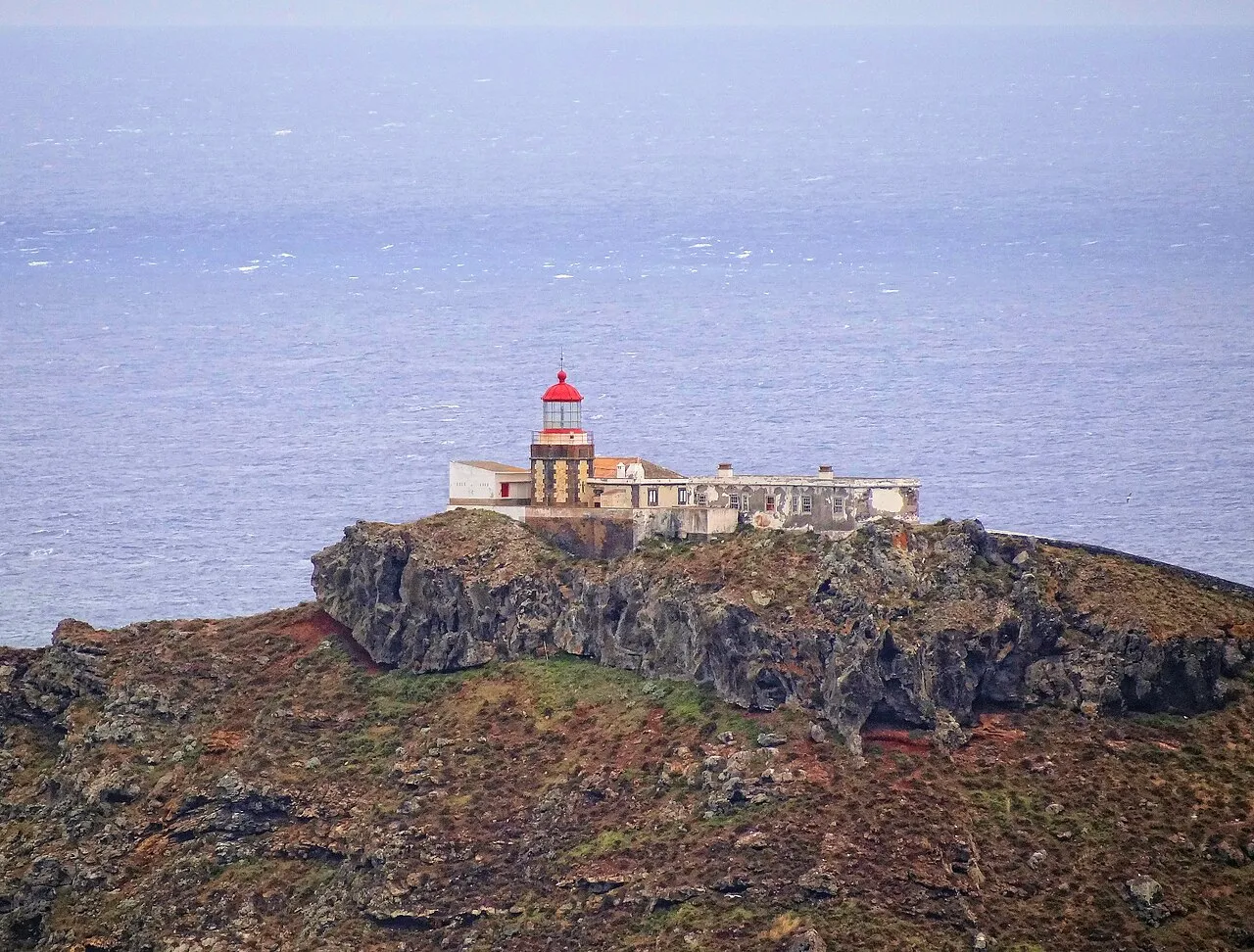
Fora Island Lighthouse
Located in Caniçal, Machico Municipality Coordinates: 32°43′49″ N 16°39′25″ W
- Local time
- UTC+00:00
- Atlantic/Madeira · UTC+00:00
- Airports
- FNC Cristiano Ronaldo International Airport12 km
- PXO Porto Santo Airport48 km
About Fora Island Lighthouse
Fora Island Lighthouse is a landmark. Location: Caniçal, Machico Municipality.
The Farol da Ponta de São Lourenço (Portuguese for the "lighthouse of Saint Lawrence point") is a lighthouse located on the islet of São Lourenço, marking the extreme east of Madeira Island, Portugal. The lighthouse was built in 1870 on top of a small extinct volcano and has a focal point of 103 metres. It is the oldest lighthouse in Madeira.
Source: Wikipedia · CC BY-SA 4.0
At a glance
- Built
- 1870
- Heritage designation
- proposed Immovable Cultural Heritage of Municipal Interest
- Height
- 10 m
Source: Wikidata
Photos of Fora Island Lighthouse
-

Asurnipal · CC BY-SA 4.0 -

Hansueli Krapf · CC BY-SA 3.0 -

Alexey Komarov · CC BY 3.0 -

Raquel Nunes Rodrigues · CC BY-SA 4.0 -

Andrei Dimofte from Stuttgart, Germany · CC BY 2.0


Climate of Fora Island Lighthouse
Best months for sightseeingBest months for sightseeing: June–September.
This month · November
Outside the best season
Day 20° · Night 15° · Rain 86 mm
- Hottest month
- August (day 23°)
- Coldest month
- February (night 12°)
- Wettest month
- December (103 mm)
- Driest month
- July (4 mm)
Bars: average monthly low and high temperature. Below: precipitation. Monthly averages for 1970–2000 at about 18 km resolution, adjusted for elevation. Highlighted months are mild and relatively dry. Source: WorldClim 2.1 (CC BY 4.0).
Show values as a table
| Month | Jan | Feb | Mar | Apr | May | Jun | Jul | Aug | Sep | Oct | Nov | Dec |
|---|---|---|---|---|---|---|---|---|---|---|---|---|
| Average high (°C) | 17° | 17° | 17° | 17° | 18° | 20° | 22° | 23° | 23° | 21° | 20° | 18° |
| Average low (°C) | 12° | 12° | 12° | 13° | 14° | 16° | 17° | 18° | 18° | 17° | 15° | 13° |
| Precipitation (mm) | 91 | 68 | 63 | 41 | 26 | 12 | 4 | 7 | 48 | 79 | 86 | 103 |
Other places to visit in this season: June July August September
How to get to Fora Island Lighthouse
The nearest airport is Cristiano Ronaldo International Airport (FNC), 12 km to the west as the crow flies.
Airports
- Cristiano Ronaldo International Airport (FNC) Funchal 12 kmwest
- Porto Santo Airport (PXO) Vila Baleira 48 kmnortheast
Straight-line distances; road distances are longer. Airport data: OurAirports.
Day trips from Fora Island Lighthouse
Within 100 km: 4 historic and cultural sites, 40 natural sites, 1 lake, river or coast.
0–25 km7 places
- Pico das Roçadas Mountain 10 kmW
- Pico do Larano Mountain 12 kmW
- Pico João do Prado Mountain 20 kmW
- Pico do Facho Mountain 9 kmW
25–60 km38 places
- Espigão Mountain 42 kmNE
- Pico de Ana Ferreira Mountain 43 kmNE
- Pico Gordo Mountain 46 kmW
- Pico da Volta da Malhada Mountain 28 kmW
Straight-line distances.
Nearby attractions & nature
Everything nearby-
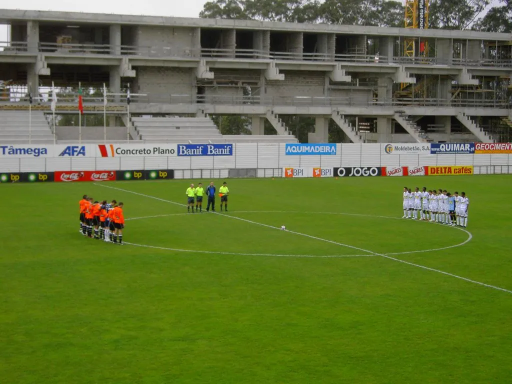 Estádio da Madeira Landmark, Funchal (Santa Maria Maior)22 km W
-
Cabeço de Cancela Mountain, Madeira7.2 km W
-
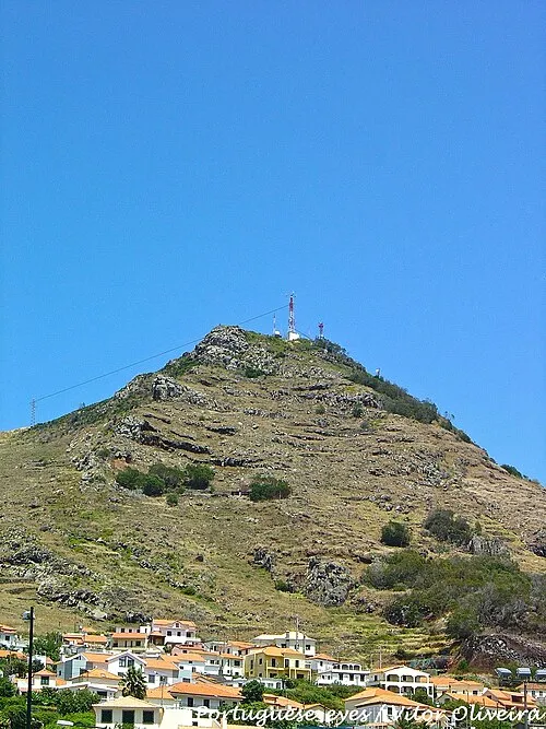 Pico do Facho Mountain, Madeira8.9 km W
-
Pico das Roçadas Mountain, Machico10 km W
-
Pico do Castanho Mountain, Machico10 km W
-
Pico do Larano Mountain, Machico12 km W
-
Pico João do Prado Mountain, Camacha20 km W
Nearest towns and villages
-
 Caniçal Village, Caniçal7.7 km W
-
Machico Town, Machico11 km W
-
Machico Municipality, Machico Municipality12 km W
-
Água de Pena Municipality, Machico Municipality12 km W
Sources & licences
Data last updated: · 2 independent sources