Ankara Province
Local name: Ankara ili
Located in Turkey Coordinates: 39°55′14″ N 32°51′15″ E
- Population
- 5,782,285
- 5.8M
- Elevation
- 871 m
- above sea level
- Local time
- UTC+03:00
- Europe/Istanbul · UTC+03:00
- Places inside
- 330
- listed under Ankara Province
- Airports
- ESB Esenboğa International Airport26 km
- KFS Kastamonu Airport174 km
About Ankara Province
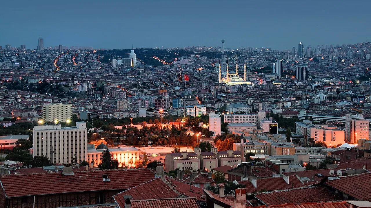
Ankara Province is a region. Location: Turkey. Population: 5,782,285.
Ankara is the capital city of Turkey. Located in the central part of Anatolia, the city has a population of over 5.3 million residents in its urban center, out of 6 million residents in Ankara Province. Ankara is Turkey's second-largest city by population after Istanbul. Ankara was historically known as Ancyra and Angora.
Source: Wikipedia · CC BY-SA 4.0
Photos of Ankara Province
-
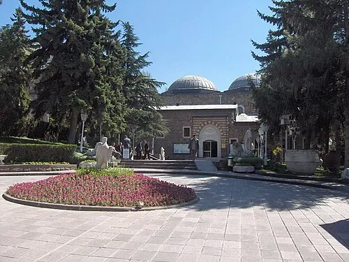
Museum of Anatolian Civilizations Georges Jansoone · CC BY-SA 3.0

Twin towns and sister cities of Ankara Province
- Miami· United States
Source: Wikidata. Only places with a page on this site are shown.
Population of Ankara Province over time
| 2015 | 5,270,575 | |
|---|---|---|
| 2018 | 5,503,985 | |
| 2021 | 5,747,325 | |
| 2023 | 5,803,482 |
Censuses and official estimates; source: Wikidata.
Climate of Ankara Province
Best months for sightseeingBest months for sightseeing: May–June, September–October.
This month · November
Outside the best season
Day 12° · Night 1° · Rain 32 mm
Better nearby cities in November
- Tarsus · 378 km southeast22°
- Mersin · 379 km southeast22°
- Alanya · 383 km south21°
- Hottest month
- July (day 30°)
- Coldest month
- January (night -4°)
- Wettest month
- May (55 mm)
- Driest month
- August (10 mm)
Bars: average monthly low and high temperature. Below: precipitation. Monthly averages for 1970–2000 at about 18 km resolution, adjusted for elevation. Highlighted months are mild and relatively dry. Source: WorldClim 2.1 (CC BY 4.0).
Show values as a table
| Month | Jan | Feb | Mar | Apr | May | Jun | Jul | Aug | Sep | Oct | Nov | Dec |
|---|---|---|---|---|---|---|---|---|---|---|---|---|
| Average high (°C) | 4° | 6° | 11° | 17° | 22° | 26° | 30° | 30° | 26° | 19° | 12° | 6° |
| Average low (°C) | -4° | -3° | 0° | 5° | 9° | 13° | 16° | 15° | 11° | 6° | 1° | -2° |
| Precipitation (mm) | 46 | 37 | 37 | 45 | 55 | 33 | 14 | 10 | 15 | 29 | 32 | 47 |
Other places to visit in this season: May June September October
How to get to Ankara Province
The nearest airport is Esenboğa International Airport (ESB), 26 km to the northeast as the crow flies. The nearest large city is Ankara, 1 km to the south.
Airports
- Esenboğa International Airport (ESB) Ankara 26 kmnortheast
- Kastamonu Airport (KFS) Kastamonu 174 kmnortheast
- Zonguldak Çaycuma Airport (ONQ) Zonguldak 188 kmnorth
Nearby large cities
- Ankara Population: 3.5M 1 kmsouth
- Çankaya Population: 792.2K 1 kmeast
- Gölbaşı Population: 165.2K 15 kmsouth
- Kirikkale Population: 187K 56 kmeast
- Bolu Population: 184.7K 139 kmnorthwest
Straight-line distances; road distances are longer. Airport data: OurAirports.
Places in Ankara Province
330 places- 1 Ankara 3.5M
- 2 Keçiören 939.3K
- 3 Çankaya 914.5K
- 4 Yenimahalle 704.7K
- 5 Mamak İlçesi 568.4K
- 6 Sincan İlçesi 484.7K
- 7 Etimesgut İlçesi 469.6K
- 8 Altındağ 359.6K
- 9 Polatlı 128.4K
- 10 Pursaklar 123.9K
- 11 Gölbaşı 115.9K
- 12 Çubuk District 83.4K
- 13 Kahramankazan 45.9K
- 14 Elmadağ İlçesi 44.4K
- 15 Haymana İlçesi 42.6K
- 16 Şereflikoçhisar İlçesi 34.6K
- 17 Nallıhan İlçesi 29.8K
- 18 Akyurt İlçesi 28.3K
- 19 Kızılcahamam İlçesi 26.7K
- 20 Bala İlçesi 23.1K
- 21 Ayaş İlçesi 13K
- 22 Kalecik District 12.8K
- 23 Güdül İlçesi 8.9K
- 24 Çamlıdere İlçesi 7.2K
- 25 Beypazari 4.8K
- 26 Evren İlçesi 3K
Bar: population relative to the most populous place in this list.
Cities & villages5
- Akyurt Bucağı · Municipality
- Altındağ Bucağı · Municipality
- Aşağı Kürthüyüğü · Village
- Ayaş Bucağı · Municipality
- Bağlum Bucağı · Municipality
Mountains & nature11
- Acısu Pınarı · Natural site
- Ademin Pınarı · Natural site
- Ağca Pınarı · Natural site
- Ağrıkale Tepesi · Mountain
- Akkaya Çeşmesi · Natural site
- Akkaya Pınarı · Natural site
- Akyatak Pınarı · Natural site
- Alaseki Düzü · Natural site
- Alim Pınarı · Natural site
- Arpalık Pınar · Natural site
- Atça · Natural site
Lakes, rivers & coasts18
- Acıkuyu Deresi · River
- Acıöz Deresi · River
- Ağan Deresi · River
- Ağılıç Deresi · River
- Akarkaya Deresi · River
- Akkuş Deresi · River
- Aladağ Çayı · River
- Alişar Deresi · River
- Anaçay Deresi · River
- Ardözü Deresi · River
- Armutlar Deresi · River
- Aşağı Karaören Barajı · Lake
- Asartepe Barajı · Lake
- Atça Deresi · River
- Ayrılık Deresi · River
- Babayakup Deresi · River
- Bağözünün Deresi · River
- Bahçecik Deresi · River
Largest cities and towns
-
 Batikent Neighbourhood, Yenimahalle300K
-
Çankaya City, Çankaya792.2K
-
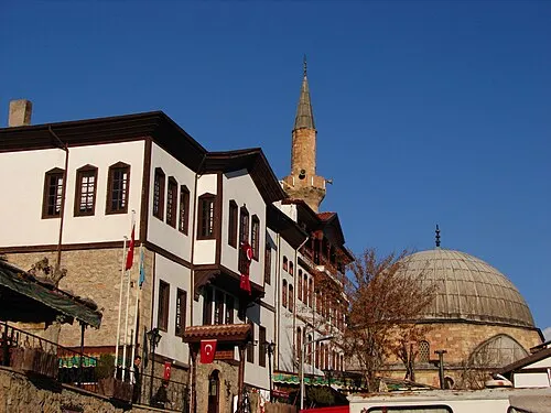 Beypazarı City, Beypazari38.8K
-
Demetevleri Neighbourhood, Yenimahalle34.9K
-
 Aydınlıkevler Neighbourhood, Altındağ27.9K
-
Gölbaşı City, Gölbaşı165.2K
-
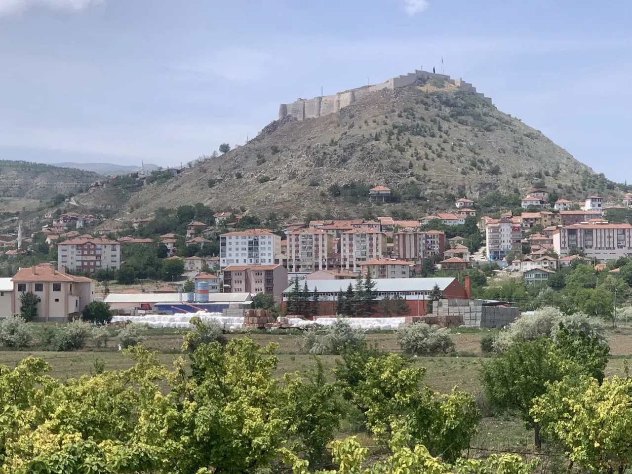 Kalecik City, Kalecik District12.9K
-
Etlik Neighbourhood, Keçiören32.2K
Nature and heritage in Ankara Province
Sources & licences
Data last updated: · 2 independent sources