Denizli Province
Local name: Denizli ili
Located in Turkey Coordinates: 37°50′25″ N 29°04′11″ E
- Population
- 1,056,332
- 1.1M
- Elevation
- 325 m
- above sea level
- Local time
- UTC+03:00
- Europe/Istanbul · UTC+03:00
- Places inside
- 122
- listed under Denizli Province
- Airports
- DNZ Çardak Airport56 km
- ISE Süleyman Demirel International Airport114 km
About Denizli Province
Denizli Province is a region. Location: Turkey. Population: 1,056,332.
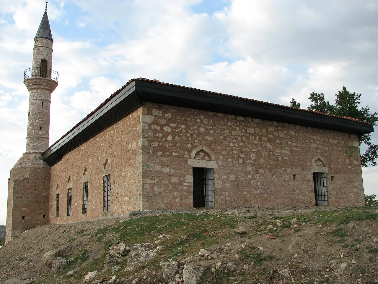
Denizli Province (Turkish: Denizli ili) (Turkish pronunciation: [deniz'ʎi iʎi]) is a province and metropolitan municipality of Turkey in Western Anatolia, on high ground above the Aegean coast. Neighbouring provinces are Uşak to the north, Burdur, Isparta, Afyon to the east, Aydın, Manisa to the west and Muğla to the south. It is located between the coordinates 28° 30’ and 29° 30’ E and 37° 12’ and 38° 12’ N. Its area is 12,134 km2, and its population is 1,056,332 (2022).
Source: Wikipedia · CC BY-SA 4.0
Photos of Denizli Province
-
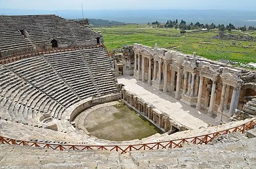
Hierapolis Carole Raddato · CC BY-SA 2.0

Places bordering Denizli Province
Climate of Denizli Province
Best months for sightseeingBest months for sightseeing: April–May, October.
This month · November
Outside the best season
Day 17° · Night 7° · Rain 62 mm
Better nearby cities in November
- Aydin · 108 km west19°
- Alanya · 297 km southeast21°
- Hottest month
- July (day 33°)
- Coldest month
- January (night 2°)
- Wettest month
- December (108 mm)
- Driest month
- August (8 mm)
Bars: average monthly low and high temperature. Below: precipitation. Monthly averages for 1970–2000 at about 18 km resolution, adjusted for elevation. Highlighted months are mild and relatively dry. Source: WorldClim 2.1 (CC BY 4.0).
Show values as a table
| Month | Jan | Feb | Mar | Apr | May | Jun | Jul | Aug | Sep | Oct | Nov | Dec |
|---|---|---|---|---|---|---|---|---|---|---|---|---|
| Average high (°C) | 11° | 12° | 16° | 20° | 26° | 31° | 33° | 32° | 29° | 23° | 17° | 12° |
| Average low (°C) | 2° | 3° | 5° | 9° | 13° | 17° | 19° | 19° | 15° | 11° | 7° | 4° |
| Precipitation (mm) | 99 | 81 | 62 | 45 | 34 | 20 | 12 | 8 | 18 | 39 | 62 | 108 |
How to get to Denizli Province
The nearest airport is Çardak Airport (DNZ), 56 km to the east as the crow flies. For international flights: Dalaman International Airport (DLM) (127 km). The nearest large city is Merkezefendi, 5 km to the southwest.
Airports
- Çardak Airport (DNZ) Denizli 56 kmeast
- Süleyman Demirel International Airport (ISE) Isparta 114 kmeast
- Dalaman International Airport (DLM) Dalaman 127 kmsouth
Nearby large cities
- Merkezefendi Population: 280.3K 5 kmsouthwest
- Denizli Population: 313.2K 7 kmsouth
- Nazilli Population: 119.4K 66 kmwest
- Uşak Population: 369.4K 97 kmnorth
- Salihli Population: 119.3K 108 kmnorthwest
Straight-line distances; road distances are longer. Airport data: OurAirports.
Places in Denizli Province
122 places- 1 Denizli 313.2K
- 2 Merkezefendi İlçesi 262.8K
- 3 Çivril İlçesi 60.6K
- 4 Acıpayam İlçesi 56K
- 5 Tavas İlçesi 47K
- 6 Honaz 34.1K
- 7 Sarayköy 30.8K
- 8 Buldan İlçesi 27.6K
- 9 Kale İlçesi 21.3K
- 10 Çal İlçesi 20.6K
- 11 Çameli İlçesi 19.3K
- 12 Serinhisar İlçesi 14.8K
- 13 Bozkurt 12.3K
- 14 Güney İlçesi 10.8K
- 15 Çardak 8.5K
- 16 Bekilli 7.8K
- 17 Beyağaç İlçesi 7.1K
- 18 Babadağ İlçesi 6.7K
- 19 Baklan İlçesi 5.9K
- 20 Pamukkale İlçesi 2.7K
Bar: population relative to the most populous place in this list.
Cities & villages11
- Acıpayam Bucağı · Municipality
- Babadağ Bucağı · Municipality
- Baklan Bucağı · Municipality
- Bekilli Bucağı · Municipality
- Beyağaç Bucağı · Municipality
- Bozkurt Bucağı · Municipality
- Buldan Bucağı · Municipality
- Çal Bucağı · Municipality
- Çameli Bucağı · Municipality
- Çivril Bucağı · Municipality
- Esenköy · Village
Mountains & nature3
- Ak Dağ · Mountain
- Bahçeköy Sarnıcı · Natural site
- Erentaş Tepe · Mountain
Lakes, rivers & coasts26
- Acıçay Deresi · River
- Acı Dere · River
- Ak Çay · River
- Akçay Deresi · River
- Akdere · River
- Ak Dere · River
- Aksu Çayı · River
- Alibey Deresi · River
- Bakırlı Dere · River
- Bel Deresi · River
- Çamköy Deresi · River
- Çatak Deresi · River
- Cehennen Deresi · River
- Çınarcık Deresi · River
- Değermen Deresi · River
- Değirmen Dere · River
- Değirmen Deresi · River
- Değme Çay · River
- Derebağ Deresi · River
- Domuz Deresi · River
- Domuzyolu Deresi · River
- Emir Çayı · River
- Engerek Deresi · River
- Eskiköy Deresi · River
- Gebe Deresi · River
- Gök Deresi · River
Largest cities and towns
-
Merkezefendi City, Merkezefendi İlçesi280.3K
-
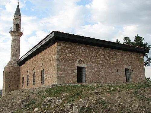 Kale City, Kale İlçesi7.3K
-
Pınarkent Town, Pamukkale İlçesi6.8K
-
Kaklık Village, Honaz4.9K
-
Sarayköy City, Sarayköy18.9K
-
Yeşilyuva Village, Acıpayam İlçesi3.7K
-
Serinhisar City, Serinhisar İlçesi17.2K
-
Pamukkale Town, Pamukkale İlçesi10K
Nature and heritage in Denizli Province
Sources & licences
Data last updated: · 2 independent sources