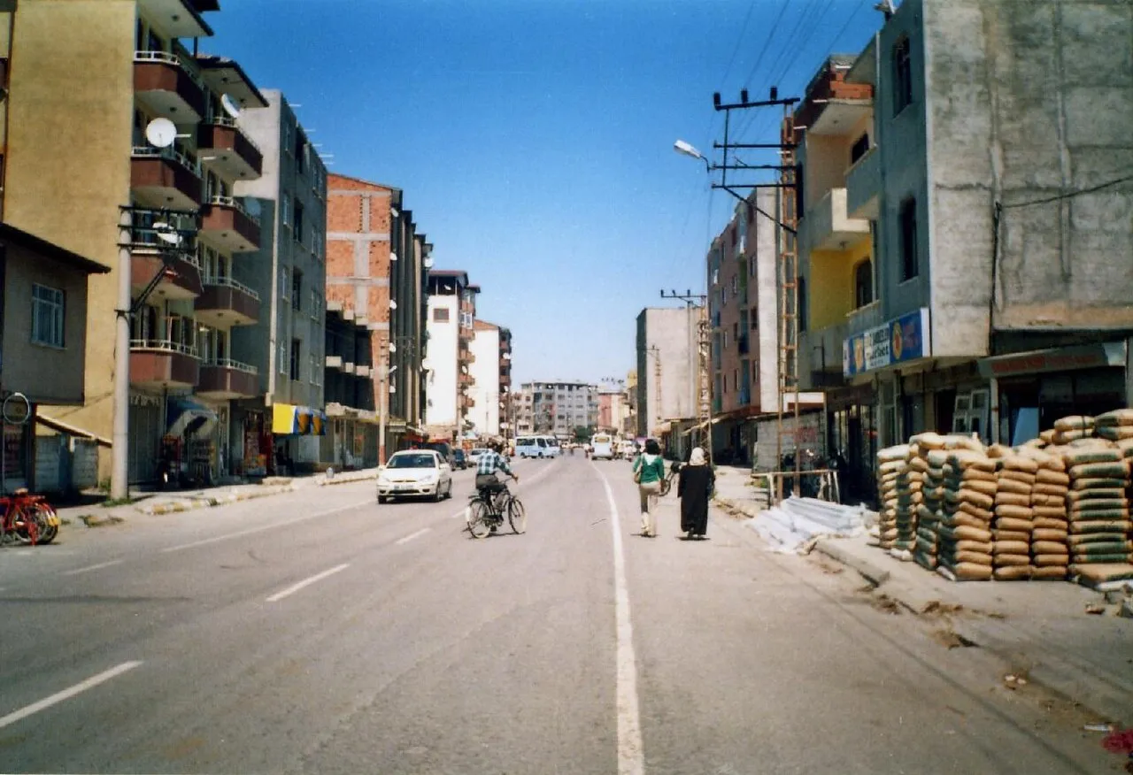
- Population
- 203,594
- 203.6K
- Elevation
- 856 m
- above sea level
- Local time
- UTC+03:00
- Europe/Istanbul · UTC+03:00
- Places inside
- 24
- listed under Iğdır Province
- Airports
- IGD Iğdır Airport12 km
- EVN Zvartnots International Airport43 km
About Iğdır Province
Iğdır Province is a region. Location: Turkey. Population: 203,594.
Iğdır Province (Turkish: Iğdır ili, Kurdish: Parêzgeha Îdirê, Azerbaijani: İğdır ili, Armenian: Իգդիրի մարզ, romanized: Igdiri marz) is a province in eastern Turkey, located along the borders with Armenia, Azerbaijan (the area of Nakhchivan Autonomous Republic), and Iran. Its adjacent provinces are Kars to the northwest and Ağrı to the west and south. Its area is 3,664 km2, and its population is 203,594 (2022). Its population was 168,634 in 2000 and 142,601 in 1990.
Source: Wikipedia · CC BY-SA 4.0
Places bordering Iğdır Province
Climate of Iğdır Province
Best months for sightseeingBest months for sightseeing: May, September–October.
This month · November
A cold month
Day 11° · Night 1° · Rain 18 mm
Better nearby cities in November
- Silopi · 326 km southwest20°
- Cizre · 328 km southwest20°
- Hottest month
- July (day 32°)
- Coldest month
- January (night -7°)
- Wettest month
- May (47 mm)
- Driest month
- August (10 mm)
Bars: average monthly low and high temperature. Below: precipitation. Monthly averages for 1970–2000 at about 18 km resolution, adjusted for elevation. Highlighted months are mild and relatively dry. Source: WorldClim 2.1 (CC BY 4.0).
Show values as a table
| Month | Jan | Feb | Mar | Apr | May | Jun | Jul | Aug | Sep | Oct | Nov | Dec |
|---|---|---|---|---|---|---|---|---|---|---|---|---|
| Average high (°C) | 2° | 4° | 11° | 18° | 23° | 28° | 32° | 32° | 28° | 20° | 11° | 5° |
| Average low (°C) | -7° | -5° | 0° | 6° | 10° | 14° | 18° | 17° | 12° | 7° | 1° | -4° |
| Precipitation (mm) | 17 | 21 | 23 | 35 | 47 | 32 | 13 | 10 | 10 | 27 | 18 | 15 |
How to get to Iğdır Province
The nearest airport is Iğdır Airport (IGD), 12 km to the northwest as the crow flies. For international flights: Zvartnots International Airport (EVN) (43 km). The nearest large city is Iğdır, 4 km to the east.
Airports
- Iğdır Airport (IGD) Iğdır 12 kmnorthwest
- Zvartnots International Airport (EVN) Yerevan 43 kmnortheast
- Ağrı Airport (AJI) Ağrı 88 kmwest
Nearby large cities
- Iğdır Population: 101.7K 4 kmeast
- Ağrı Population: 124.5K 85 kmwest
- Van Population: 525K 167 kmsouth
- Erzurum Population: 767.8K 233 kmwest
- Siirt Population: 114K 284 kmsouthwest
Straight-line distances; road distances are longer. Airport data: OurAirports.
Places in Iğdır Province
24 placesBar: population relative to the most populous place in this list.
Cities & villages2
- Gaziler Bucağı · Municipality
- Taşburun Bucağı · Municipality
Mountains & nature3
- Ayı Pınarı · Natural site
- Genuti · Mountain
- Satılmış Pınar · Natural site
Lakes, rivers & coasts14
- Aşağı Dere · River
- Aşıran Deresi · River
- Aşma Deresi · River
- Bozhane Deresi · River
- Buruksu · River
- Büyükyar Deresi · River
- Çerkezağıl Deresi · River
- Eğritaş Deresi · River
- Erhacı Gölü · Lake
- Kanber Deresi · River
- Kazlıgöl · Lake
- Mollaahmet Deresi · River
- Sarıabdal Deresi · River
- Sarıabdal Deresi · River
Heritage & sights1
- Vaiskom Harabesi · Historic site
Largest cities and towns
-
 Halfeli Municipality Town, Iğdır İlçesi8.4K
-
Iğdır City, Iğdır İlçesi101.7K
-
Tuzluca İlçe Merkezi Municipality, Tuzluca İlçesi9.9K
-
Aşağıerhacı Village, Iğdır İlçesi4.4K
-
Bağlar Mahallesi Neighbourhood, Iğdır Municipality17.5K
-
Suveren Village, Iğdır İlçesi3.4K
-
Hoşhaber Municipality Village, Iğdır İlçesi2.7K
-
Topçular Mahallesi Neighbourhood, Iğdır Municipality12K
Nature and heritage in Iğdır Province
Sources & licences
Data last updated: · 2 independent sources