Osmaniye Province
Local name: Osmaniye ili
Located in Turkey Coordinates: 37°14′07″ N 36°14′45″ E
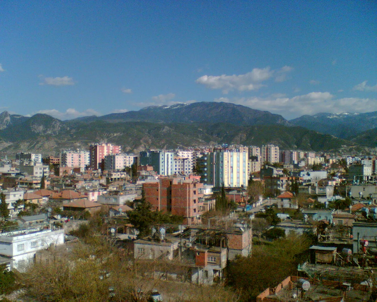
- Population
- 559,405
- 559.4K
- Elevation
- 235 m
- above sea level
- Local time
- UTC+03:00
- Europe/Istanbul · UTC+03:00
- Places inside
- 47
- listed under Osmaniye Province
- Airports
- KCM Kahramanmaraş Airport71 km
- HTY Hatay Airport97 km
About Osmaniye Province
Osmaniye Province is a region. Location: Turkey. Population: 559,405.
Osmaniye Province (Turkish: Osmaniye ili) is a province in south-central Turkey. It was named Cebel-i Bereket (lit. 'Fertile Mountain') in the early republic until 1933, when it was incorporated into Adana Province. It was made a province again in 1996. Its area is 3,320 km2, and its population is 559,405 (2022). The province is situated in Çukurova, a geographical, economical and cultural region. The capital of the province is Osmaniye. Other major towns include Kadirli and Düziçi.
Source: Wikipedia · CC BY-SA 4.0
Places bordering Osmaniye Province
- Adana Province
- Kahramanmaraş Province
- Gaziantep Province
- Hatay Province
Climate of Osmaniye Province
Best months for sightseeingBest months for sightseeing: April–May, October–November.
This month · November
A good month to visit
Day 20° · Night 10° · Rain 78 mm
- Hottest month
- August (day 34°)
- Coldest month
- January (night 5°)
- Wettest month
- December (132 mm)
- Driest month
- July (10 mm)
Bars: average monthly low and high temperature. Below: precipitation. Monthly averages for 1970–2000 at about 18 km resolution, adjusted for elevation. Highlighted months are mild and relatively dry. Source: WorldClim 2.1 (CC BY 4.0).
Show values as a table
| Month | Jan | Feb | Mar | Apr | May | Jun | Jul | Aug | Sep | Oct | Nov | Dec |
|---|---|---|---|---|---|---|---|---|---|---|---|---|
| Average high (°C) | 13° | 14° | 18° | 22° | 27° | 31° | 33° | 34° | 32° | 27° | 20° | 15° |
| Average low (°C) | 5° | 6° | 8° | 12° | 15° | 19° | 22° | 23° | 20° | 15° | 10° | 7° |
| Precipitation (mm) | 118 | 104 | 101 | 87 | 63 | 27 | 10 | 13 | 22 | 63 | 78 | 132 |
Other places to visit in this season: April May October November
How to get to Osmaniye Province
The nearest airport is Kahramanmaraş Airport (KCM), 71 km to the northeast as the crow flies. For international flights: Çukurova International Airport (COV) (111 km). The nearest large city is Osmaniye, 18 km to the south.
Airports
- Kahramanmaraş Airport (KCM) Kahramanmaraş 71 kmnortheast
- Hatay Airport (HTY) Antakya 97 kmsouth
- Çukurova International Airport (COV) Tarsus 111 kmwest
Nearby large cities
- Osmaniye Population: 202.8K 18 kmsouth
- Kahramanmaraş Population: 385K 72 kmnortheast
- İskenderun Population: 251.7K 72 kmsouth
- Adana Population: 1.8M 86 kmwest
- Kilis Population: 111.6K 96 kmsoutheast
Straight-line distances; road distances are longer. Airport data: OurAirports.
Places in Osmaniye Province
47 places- 1 Kadirli İlçesi 118.1K
- 2 Düziçi İlçesi 79.4K
- 3 Bahçe İlçesi 21.1K
- 4 Toprakkale 20.7K
- 5 Sumbas İlçesi 15.1K
- 6 Hasanbeyli İlçesi 4.4K
Bar: population relative to the most populous place in this list.
Countries & regions1
- Osmaniye · District
Cities & villages17
- Ayvacık · Village
- Bahçe Bucağı · Municipality
- Çakıroğlu · Village
- Değirmendere · Village
- Düziçi Bucağı · Municipality
- Ekşiler · Village
- Gökelma · Village
- Hasanbeyli Bucağı · Municipality
- Kadirli Bucağı · Municipality
- Kaledibi · Village
- Kaypak Bucağı · Municipality
- Küçük İntilli · Village
- Lülük · Village
- Sumbas Bucağı · Municipality
- Tecirli Bucağı · Municipality
- Toprakkale Bucağı · Municipality
- Yarpuz Bucağı · Municipality
Mountains & nature8
- Ada Tepe · Mountain
- Gölcegez Pınarı · Natural site
- Kaya Pınar · Natural site
- Killik Pınarı · Natural site
- Kışnazgözü Pınarı · Natural site
- Kötüsu Kaynağı · Natural site
- Soğuksu Pınarı · Natural site
- Yumurta Pınarı · Natural site
Lakes, rivers & coasts15
- Akçasu · River
- Arıklıkaş Göleti · Lake
- Çağlayan Dere · River
- Çayır Suyu · River
- Çiçekli Dere · River
- Kabaklı Dere · River
- Kabaklı Dere · River
- Kansız Dere · River
- Kesik Suyu · River
- Keşiş Suyu · River
- Sabun Suyu · River
- Savrun Çayı · River
- Savrun Çayı · River
- Tahtasuyu · River
- Yarpuz Çayı · River
Largest cities and towns
-
Osmaniye City, Osmaniye202.8K
-
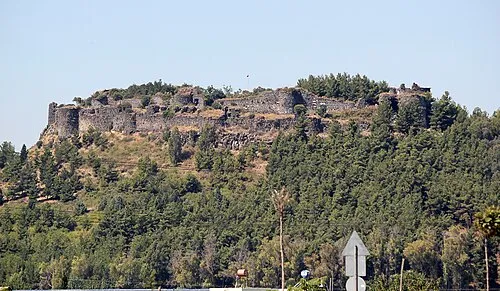 Toprakkale City, Toprakkale8.6K
-
Kadirli City, Kadirli İlçesi70.2K
-
Yarpuz Village, Osmaniye1.9K
-
Kırmıtlı Village, Osmaniye890
-
Hasanbeyli City, Hasanbeyli İlçesi6.3K
-
Yazlamazlı Village, Düziçi İlçesi1.7K
-
Karagedik Village, Düziçi İlçesi884
Nature and heritage in Osmaniye Province
Other regions in Turkey
-
Hatay Province Region, Turkey82 km S
-
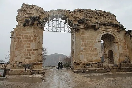 Adana Province Region, Turkey90 km W
-
Erzin İlçesi District, Hatay Province32 km S
-
Ceyhan District, Adana Province41 km SW
-
Dörtyol İlçesi District, Hatay Province45 km S
-
Andırın İlçesi District, Kahramanmaraş Province40 km N
Sources & licences
Data last updated: · 2 independent sources