Porumbacu de Sus
Located in Comuna Porumbacu de Jos, Sibiu County Coordinates: 45°42′52″ N 24°28′22″ E
- Population
- 915
- 915
- Elevation
- 457 m
- above sea level
- Local time
- UTC+02:00
- Europe/Bucharest · UTC+02:00
- Airports
- SBZ Sibiu International Airport31 km
- GHV Brașov-Ghimbav International Airport82 km
About Porumbacu de Sus
Porumbacu de Sus is a village. Location: Comuna Porumbacu de Jos, Sibiu County. Population: 915. Elevation: 457 m. The best months to visit are May–September. The nearest airport is Sibiu International Airport (31 km). Nearby sights include Fruntea Malului and La Cetate.
Climate of Porumbacu de Sus
Best months for sightseeingBest months for sightseeing: May–September.
This month · November
A cold month
Day 7° · Night -2° · Rain 34 mm
- Hottest month
- July (day 25°)
- Coldest month
- January (night -8°)
- Wettest month
- June (94 mm)
- Driest month
- January (27 mm)
Bars: average monthly low and high temperature. Below: precipitation. Monthly averages for 1970–2000 at about 18 km resolution, adjusted for elevation. Highlighted months are mild and relatively dry. Source: WorldClim 2.1 (CC BY 4.0).
Show values as a table
| Month | Jan | Feb | Mar | Apr | May | Jun | Jul | Aug | Sep | Oct | Nov | Dec |
|---|---|---|---|---|---|---|---|---|---|---|---|---|
| Average high (°C) | 1° | 4° | 9° | 15° | 20° | 23° | 25° | 25° | 20° | 15° | 7° | 3° |
| Average low (°C) | -8° | -6° | -2° | 3° | 8° | 11° | 12° | 12° | 8° | 3° | -2° | -6° |
| Precipitation (mm) | 27 | 27 | 30 | 53 | 78 | 94 | 87 | 69 | 53 | 44 | 34 | 32 |
Other places to visit in this season: May June July August September
How to get to Porumbacu de Sus
The nearest airport is Sibiu International Airport (SBZ), 31 km to the west as the crow flies. The nearest large city is Sibiu, 27 km to the west.
Airports
- Sibiu International Airport (SBZ) Sibiu 31 kmwest
- Brașov-Ghimbav International Airport (GHV) Brașov (Ghimbav) 82 kmeast
- Târgu Mureş Transilvania International Airport (TGM) Recea 84 kmnorth
Nearby large cities
- Sibiu Population: 134.3K 27 kmwest
- Brasov Population: 253.2K 89 kmeast
- Târgu Mureş Population: 212.8K 92 kmnorth
- Piteşti Population: 141.3K 101 kmsouth
- Cluj-Napoca Population: 286.6K 135 kmnorthwest
Straight-line distances; road distances are longer. Airport data: OurAirports.
Day trips from Porumbacu de Sus
Within 100 km: 3 historic and cultural sites, 740 natural sites, 2 lakes, rivers and coasts.
0–25 km101 places
- Valea Fofeldei Natural site 15 kmN
- Puha Mountain 15 kmS
- Suru Mountain 14 kmS
- Muntele Buteanu Mountain 12 kmSE
25–60 km220 places
- Valea Râul Sadului Natural site 27 kmW
- Valea Gârbova Natural site 59 kmW
- Valea Ciuparilor Natural site 33 kmW
- Dealul Voineasa Mountain 55 kmSW
60–100 km424 places
- Coltii Blajeni Mountain 73 kmSE
- Valea Râncăciov Natural site 96 kmSE
- Valea Purcăreanca Natural site 89 kmS
- Valea Pănadei Natural site 68 kmNW
Straight-line distances.
Nearby attractions & nature
Everything nearby-
Fruntea Malului Mountain, Comuna Cârţişoara7.8 km SE
-
La Cetate Mountain, Oraş Avrig8.7 km SW
-
La Piscul cel Bun Mountain, Comuna Porumbacu de Jos11 km SE
-
Chiciura Moldele Mountain, Oraş Avrig9.6 km S
-
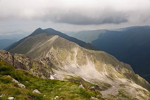 Ferastraul Mountain, Comuna Porumbacu de Jos13 km SE
-
Furca Tunsului Mountain, Comuna Porumbacu de Jos13 km SE
Sources & licences
Data last updated: