Nižný Lánec
Located in Košice-okolie District, Košice Region Coordinates: 48°32′10″ N 21°06′34″ E
- Population
- 475
- 475
- Elevation
- 198 m
- above sea level
- Local time
- UTC+01:00
- Europe/Bratislava · UTC+01:00
- Airports
- KSC Košice International Airport17 km
- TAT Poprad-Tatry Airport87 km
About Nižný Lánec
Nižný Lánec is a village. Location: Košice-okolie District, Košice Region. Population: 475. Elevation: 198 m.
Nižný Lánec (Hungarian: Alsólánc) is a village and municipality in Košice-okolie District in the Kosice Region of eastern Slovakia.
Source: Wikipedia · CC BY-SA 4.0
Population of Nižný Lánec over time
| 2010 | 420 | |
|---|---|---|
| 2021 | 447 | |
| 2024 | 471 | |
| 2025 | 475 |
Censuses and official estimates; source: Wikidata.
Climate of Nižný Lánec
Best months for sightseeingBest months for sightseeing: May–September.
This month · November
A cold month
Day 7° · Night 0° · Rain 42 mm
- Hottest month
- August (day 25°)
- Coldest month
- January (night -6°)
- Wettest month
- June (84 mm)
- Driest month
- February (25 mm)
Bars: average monthly low and high temperature. Below: precipitation. Monthly averages for 1970–2000 at about 18 km resolution, adjusted for elevation. Highlighted months are mild and relatively dry. Source: WorldClim 2.1 (CC BY 4.0).
Show values as a table
| Month | Jan | Feb | Mar | Apr | May | Jun | Jul | Aug | Sep | Oct | Nov | Dec |
|---|---|---|---|---|---|---|---|---|---|---|---|---|
| Average high (°C) | 1° | 3° | 9° | 15° | 20° | 23° | 25° | 25° | 21° | 14° | 7° | 2° |
| Average low (°C) | -6° | -4° | 0° | 4° | 9° | 12° | 13° | 13° | 9° | 4° | 0° | -4° |
| Precipitation (mm) | 26 | 25 | 27 | 46 | 66 | 84 | 78 | 69 | 50 | 43 | 42 | 33 |
Other places to visit in this season: May June July August September
How to get to Nižný Lánec
The nearest airport is Košice International Airport (KSC), 17 km to the northeast as the crow flies. For international flights: Debrecen International Airport (DEB) (122 km). The nearest large city is Košice, 23 km to the northeast.
Airports
- Košice International Airport (KSC) Košice 17 kmnortheast
- Poprad-Tatry Airport (TAT) Poprad 87 kmnorthwest
- Debrecen International Airport (DEB) Debrecen 122 kmsouth
Nearby large cities
- Košice Population: 225K 23 kmnortheast
- Miskolc Population: 154.5K 54 kmsouthwest
- Nyíregyháza Population: 117.7K 79 kmsoutheast
- Debrecen Population: 202.4K 118 kmsouth
- Satu Mare Population: 112.5K 154 kmsoutheast
Straight-line distances; road distances are longer. Airport data: OurAirports.
Day trips from Nižný Lánec
Within 100 km: 19 historic and cultural sites, 47 natural sites, 14 lakes, rivers and coasts.
0–25 km6 places
- Torysa River 22 kmNE
- Ida River 13 kmNW
- Cherekhat Mountain 16 kmSW
- Magoska Mountain 24 kmSE
25–60 km23 places
- Spišská Kapitula Attraction 58 kmNW
- Spiš Castle Historic site 57 kmNW
- Slanské Pohorie Mountain 37 kmNE
- Topľa River 53 kmNE
60–100 km51 places
- Skalnaté pleso Lake 97 kmNW
- Slavkovský štít Mountain 98 kmNW
- Branisko Mountain 62 kmN
- Ľubica River 83 kmNW
Straight-line distances.
Nearby attractions & nature
Everything nearby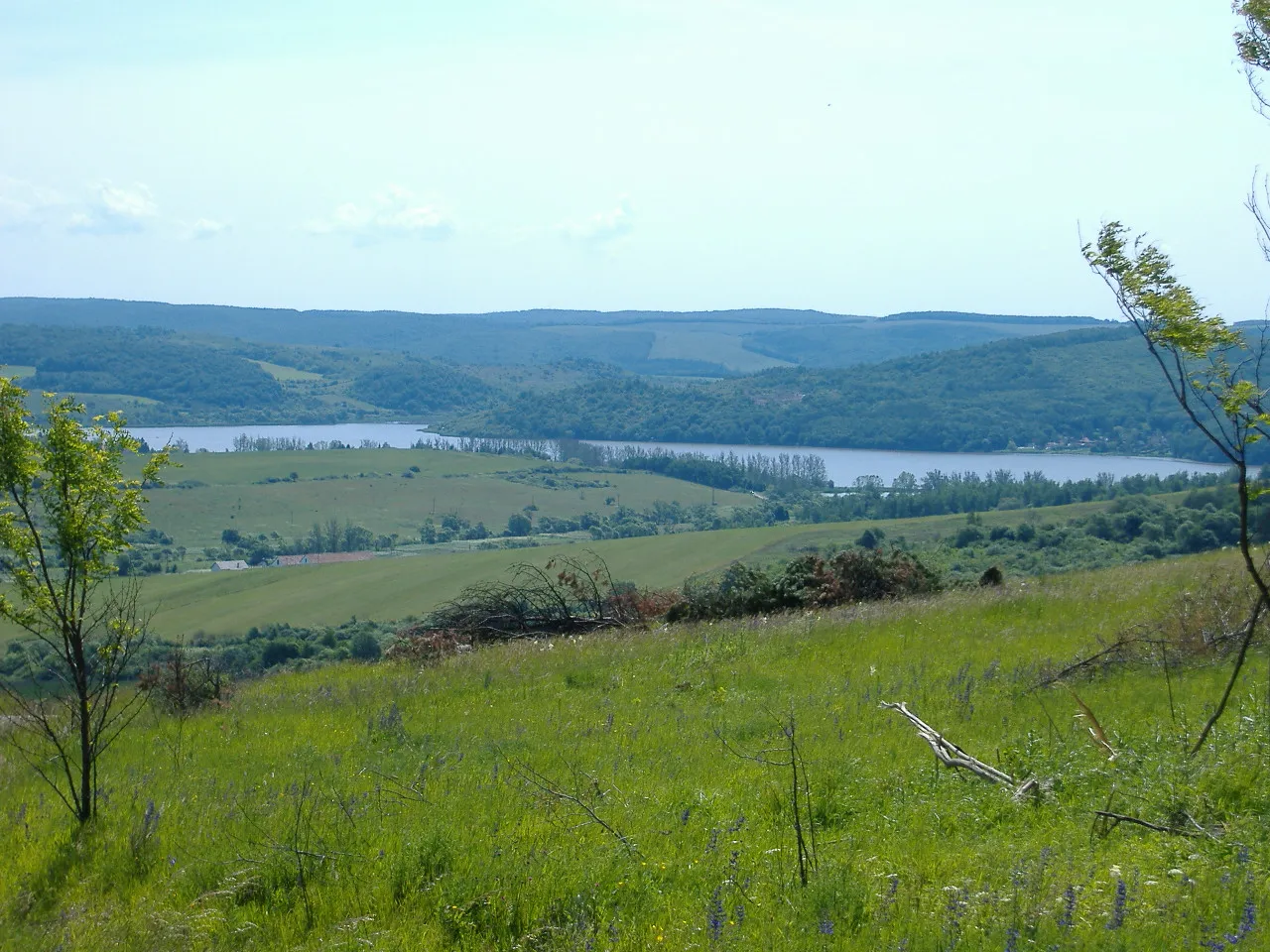
Sources & licences
Data last updated: · 2 independent sources