Bardejov
Located in Bardejov District, Prešov Region Coordinates: 49°18′13″ N 21°16′39″ E
- Population
- 32,587
- 32.6K
- Elevation
- 284 m
- above sea level
- Local time
- UTC+01:00
- Europe/Bratislava · UTC+01:00
- Airports
- KSC Košice International Airport71 km
- TAT Poprad-Tatry Airport80 km
About Bardejov
Bardejov is a municipality. Location: Bardejov District, Prešov Region. Population: 32,587. Elevation: 284 m.
Bardejov (; Hungarian: Bártfa, German: Bartfeld, Rusyn: Бардеёв, Ukrainian: Бардіїв, Polish: Bardejów) is a town in northeastern Slovakia. It is situated in the Šariš region on a floodplain terrace of the Topľa River, in the hills of the Beskyd Mountains. It exhibits numerous cultural monuments in its completely intact medieval town center. The town is one of UNESCO's World Heritage Sites and currently maintains a population of about 32,000 inhabitants.
Source: Wikipedia · CC BY-SA 4.0
Places bordering Bardejov
- Zborov
- Andrejová
- Beloveža
- Komárov
- Lukavica
- Kľušov
- Richvald
- Mokroluh
- Zlaté
- Stebník
Twin towns and sister cities of Bardejov
- Ashtabula· United States
- Sremski Karlovci· Serbia
- Krynica-Zdrój· Poland
- Kaštela· Croatia
Source: Wikidata. Only places with a page on this site are shown.
Population of Bardejov over time
| 1970 | 15,225 | |
|---|---|---|
| 2001 | 33,247 | |
| 2011 | 33,696 | |
| 2017 | 32,587 | |
| 2021 | 30,840 | |
| 2023 | 30,267 | |
| 2024 | 29,788 | |
| 2025 | 29,495 |
Censuses and official estimates; source: Wikidata.
Climate of Bardejov
Best months for sightseeingBest months for sightseeing: May–September.
This month · November
A cold month
Day 7° · Night 0° · Rain 49 mm
- Hottest month
- July (day 24°)
- Coldest month
- January (night -6°)
- Wettest month
- June (109 mm)
- Driest month
- February (31 mm)
Bars: average monthly low and high temperature. Below: precipitation. Monthly averages for 1970–2000 at about 18 km resolution, adjusted for elevation. Highlighted months are mild and relatively dry. Source: WorldClim 2.1 (CC BY 4.0).
Show values as a table
| Month | Jan | Feb | Mar | Apr | May | Jun | Jul | Aug | Sep | Oct | Nov | Dec |
|---|---|---|---|---|---|---|---|---|---|---|---|---|
| Average high (°C) | 1° | 3° | 8° | 14° | 19° | 22° | 24° | 24° | 19° | 14° | 7° | 2° |
| Average low (°C) | -6° | -4° | -1° | 4° | 8° | 11° | 13° | 12° | 9° | 5° | 0° | -4° |
| Precipitation (mm) | 38 | 31 | 36 | 60 | 84 | 109 | 104 | 86 | 67 | 52 | 49 | 44 |
Other places to visit in this season: May June July August September
How to get to Bardejov
The nearest airport is Košice International Airport (KSC), 71 km to the south as the crow flies. For international flights: Rzeszów-Jasionka Airport (RZE) (105 km). The nearest large city is Košice, 66 km to the south.
Airports
- Košice International Airport (KSC) Košice 71 kmsouth
- Poprad-Tatry Airport (TAT) Poprad 80 kmwest
- Rzeszów-Jasionka Airport (RZE) Jasionka 105 kmnortheast
Nearby large cities
- Košice Population: 225K 66 kmsouth
- Miskolc Population: 154.5K 138 kmsouth
- Nyíregyháza Population: 117.7K 153 kmsouth
- Debrecen Population: 202.4K 199 kmsouth
- Satu Mare Population: 112.5K 204 kmsoutheast
Straight-line distances; road distances are longer. Airport data: OurAirports.
Day trips from Bardejov
Within 100 km: 43 historic and cultural sites, 277 natural sites, 15 lakes, rivers and coasts.
0–25 km23 places
- Cigelka River 14 kmNW
- Čerhov Mountain 15 kmSW
- Kozie Żebro Mountain 18 kmN
- Żabiniec Mountain 25 kmNW
25–60 km85 places
- Branisko Mountain 36 kmSW
- Spišská Kapitula Attraction 52 kmSW
- Spiš Castle Historic site 50 kmSW
- Kolanin Mountain 30 kmNE
60–100 km227 places
- Skalnaté pleso Lake 77 kmW
- Popradské Pleso Lake 89 kmW
- Ostrá Mountain 93 kmW
- Vysoká Mountain 87 kmW
Straight-line distances.
Nearby attractions & nature
Everything nearby-
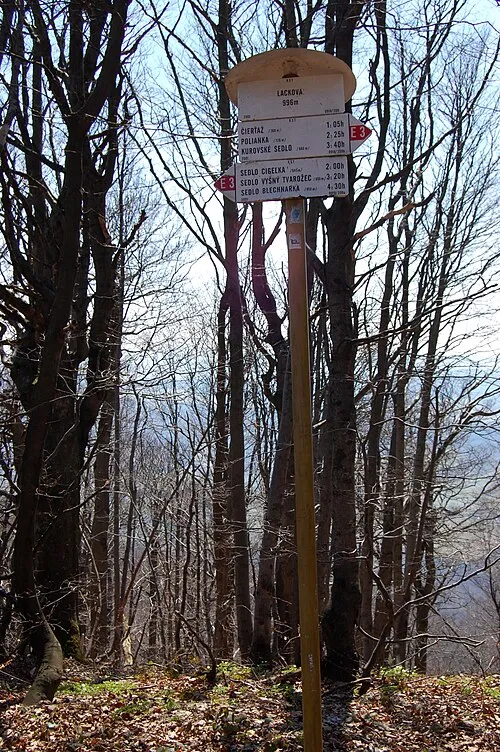 Lackowa - Beskid Niski 997 mnpm Mountain, Poland19 km NW
-
Wysota Mountain, Uście Gorlickie15 km N
-
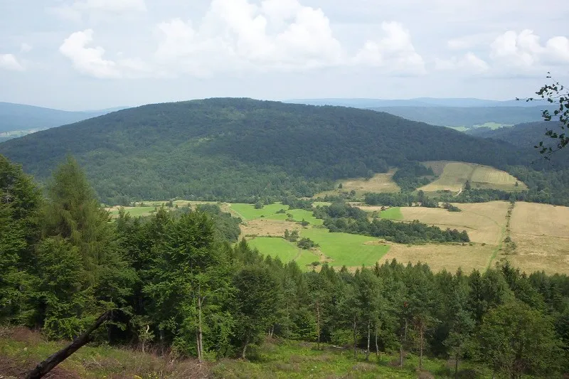 Rotunda Mountain, Uście Gorlickie19 km N
-
Obicz - Beskid Niski 788 mnpm Mountain, Poland15 km N
-
Cigielka - Beskid Niski 805 mnpm Mountain, Poland16 km NW
-
Kozie Żebro Mountain, Uście Gorlickie18 km N
-
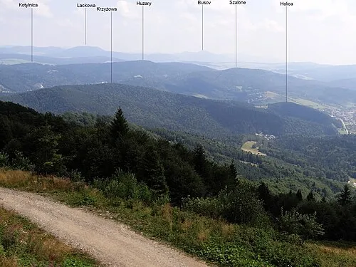 Huzary Mountain, Krynica-Zdrój24 km NW
-
Plaziny Mountain, Krynica-Zdrój19 km NW
Sources & licences
Data last updated: · 2 independent sources