- Elevation
- 461 m
- above sea level
- Local time
- UTC+01:00
- Europe/Bratislava · UTC+01:00
- Airports
- KSC Košice International Airport88 km
- RZE Rzeszów-Jasionka Airport117 km
About Starina
Starina is a village. Location: Snina District, Prešov Region. Elevation: 461 m.
Starina reservoir is a water reservoir in eastern Slovakia, Snina District, located in the Poloniny National Park. It is the most important source of drinking water in the area, built on the headwaters of the river Cirocha. Building started in 1981. 3,463 inhabitants were evacuated from 769 dwellings from the 7 following villages (Starina, Dara, Ostrožnica, Smolník, Ruské, Veľká Poľana and Zvala). The total surface of the water reservoir Starina is 240 ha. The height of the water headbay is 50 m.
Source: Wikipedia · CC BY-SA 4.0
At a glance
- Maximum depth
- 46 m
- Area
- 2.8 km²
Source: Wikidata
Climate of Starina
Best months for sightseeingBest months for sightseeing: June–August.
This month · November
A cold month
Day 6° · Night 0° · Rain 66 mm
- Hottest month
- July (day 22°)
- Coldest month
- January (night -6°)
- Wettest month
- June (116 mm)
- Driest month
- February (48 mm)
Bars: average monthly low and high temperature. Below: precipitation. Monthly averages for 1970–2000 at about 18 km resolution, adjusted for elevation. Highlighted months are mild and relatively dry. Source: WorldClim 2.1 (CC BY 4.0).
Show values as a table
| Month | Jan | Feb | Mar | Apr | May | Jun | Jul | Aug | Sep | Oct | Nov | Dec |
|---|---|---|---|---|---|---|---|---|---|---|---|---|
| Average high (°C) | 1° | 2° | 7° | 12° | 18° | 20° | 22° | 22° | 17° | 12° | 6° | 1° |
| Average low (°C) | -6° | -5° | -2° | 3° | 7° | 10° | 12° | 11° | 8° | 4° | 0° | -4° |
| Precipitation (mm) | 50 | 48 | 50 | 64 | 88 | 116 | 116 | 91 | 76 | 64 | 66 | 68 |
How to get to Starina
The nearest airport is Košice International Airport (KSC), 88 km to the southwest as the crow flies. For international flights: Rzeszów-Jasionka Airport (RZE) (117 km). The nearest large city is Košice, 84 km to the southwest.
Airports
- Košice International Airport (KSC) Košice 88 kmsouthwest
- Rzeszów-Jasionka Airport (RZE) Jasionka 117 kmnorth
- Poprad-Tatry Airport (TAT) Poprad 148 kmwest
Nearby large cities
- Košice Population: 225K 84 kmsouthwest
- Nyíregyháza Population: 117.7K 130 kmsouth
- Satu Mare Population: 112.5K 148 kmsouth
- Miskolc Population: 154.5K 153 kmsouthwest
- Debrecen Population: 202.4K 177 kmsouth
Straight-line distances; road distances are longer. Airport data: OurAirports.
Day trips from Starina
Within 100 km: 15 historic and cultural sites, 150 natural sites, 10 lakes, rivers and coasts.
0–25 km45 places
- Morské Oko Lake 18 kmS
- Vihorlatské Vrchy Mountain 20 kmSW
- Łopienik Mountain 21 kmN
- Ptasza - 1162 m npm Bieszczady Mountain 11 kmNE
25–60 km60 places
- Zemplínska šírava Lake 36 kmSW
- Veľká Domaša Lake 43 kmW
- Topľa River 52 kmSW
- Cirocha River 29 kmSW
60–100 km70 places
- Branisko Mountain 99 kmW
- Cigelka River 90 kmNW
- Kolanin Mountain 80 kmNW
- Slanské Pohorie Mountain 69 kmSW
Straight-line distances.
Nearby attractions & nature
Everything nearby-
Rypi Wierch Mountain, Poland8.6 km NE
-
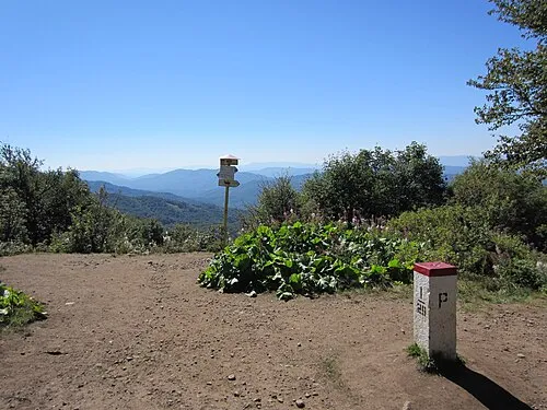 Okrąglik Mountain, Cisna12 km NE
-
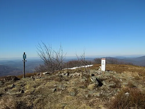 Plaša Mountain, Poland12 km NE
-
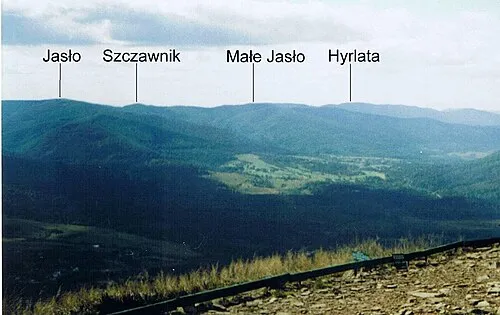 Jasło Mountain, Cisna12 km NE
-
Szczawnik Mountain, Cisna12 km NE
-
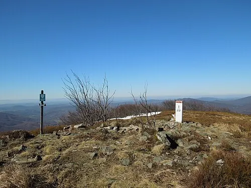 Ptasza - 1162 m npm Bieszczady Mountain, Cisna11 km NE
Sources & licences
Data last updated: · 2 independent sources