- Population
- 1,492
- 1.5K
- Elevation
- 266 m
- above sea level
- Local time
- UTC+01:00
- Europe/Bratislava · UTC+01:00
- Airports
- BTS M. R. Štefánik Airport64 km
- BRQ Brno-Tuřany Airport70 km
About Sobotište
Sobotište is a village. Location: Senica District, Trnava Region. Population: 1,492. Elevation: 266 m.
Sobotište (Hungarian: Ószombat; until 1899, Szobotist) is a village and municipality in Senica District in the Trnava Region of western Slovakia. In 1845 it was the location of the establishment of the first cooperative in Europe by Samuel Jurkovič (Spolok gazdovský).
Source: Wikipedia · CC BY-SA 4.0
Population of Sobotište over time
| 2017 | 1,493 | |
|---|---|---|
| 2021 | 1,424 | |
| 2024 | 1,483 | |
| 2025 | 1,492 |
Censuses and official estimates; source: Wikidata.
Climate of Sobotište
Best months for sightseeingBest months for sightseeing: May–September.
This month · November
A cold month
Day 7° · Night 1° · Rain 52 mm
- Hottest month
- July (day 24°)
- Coldest month
- January (night -4°)
- Wettest month
- June (92 mm)
- Driest month
- February (35 mm)
Bars: average monthly low and high temperature. Below: precipitation. Monthly averages for 1970–2000 at about 18 km resolution, adjusted for elevation. Highlighted months are mild and relatively dry. Source: WorldClim 2.1 (CC BY 4.0).
Show values as a table
| Month | Jan | Feb | Mar | Apr | May | Jun | Jul | Aug | Sep | Oct | Nov | Dec |
|---|---|---|---|---|---|---|---|---|---|---|---|---|
| Average high (°C) | 2° | 4° | 8° | 14° | 20° | 22° | 24° | 24° | 19° | 14° | 7° | 3° |
| Average low (°C) | -4° | -3° | 0° | 4° | 9° | 12° | 13° | 13° | 9° | 5° | 1° | -3° |
| Precipitation (mm) | 38 | 35 | 36 | 47 | 75 | 92 | 91 | 87 | 64 | 47 | 52 | 48 |
Other places to visit in this season: May June July August September
How to get to Sobotište
The nearest airport is M. R. Štefánik Airport (BTS), 64 km to the south as the crow flies. The nearest large city is Bratislava, 69 km to the south.
Airports
- M. R. Štefánik Airport (BTS) Bratislava 64 kmsouth
- Brno-Tuřany Airport (BRQ) Brno 70 kmnorthwest
- Vienna International Airport (VIE) Vienna 93 kmsouthwest
Nearby large cities
- Bratislava Population: 423.7K 69 kmsouth
- Brno Population: 404.3K 78 kmnorthwest
- Győr Population: 129.3K 118 kmsouth
- Székesfehérvár Population: 101.6K 187 kmsoutheast
- Linz Population: 204.8K 235 kmwest
Straight-line distances; road distances are longer. Airport data: OurAirports.
Day trips from Sobotište
Within 100 km: 334 historic and cultural sites, 815 natural sites, 185 lakes, rivers and coasts.
0–25 km10 places
- Záruby Mountain 24 kmS
- Chvojnica River 21 kmNW
- Vyzkum Mountain 15 kmN
- Kobyla Mountain 13 kmN
25–60 km215 places
- Klokoč Mountain 30 kmS
- Zřícenina Tematín Historic site 39 kmE
- Plavecký hrad Historic site 29 kmS
- Vysoká Mountain 38 kmS
60–100 km1,109 places
- Tríbeč Mountain 68 kmSE
- Strážov Mountain 81 kmE
- Devínska Kobyla Mountain 68 kmSW
- Mirbach Palace Historic site 69 kmS
Straight-line distances.
Nearby attractions & nature
Everything nearby-
Žalostina Mountain, South Moravian10 km N
-
Kobyla Mountain, Hrubá Vrbka13 km N
-
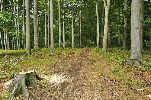 Hradisko Mountain, Javorník17 km NE
-
Vyzkum Mountain, Hroznová Lhota15 km N
-
Kamenná Vrata Mountain, Javorník16 km NE
-
Háj [Velká nad Veličkou] Mountain, Velká nad Veličkou20 km NE
Sources & licences
Data last updated: · 2 independent sources