Markovščina
Located in Municipality of Hrpelje–Kozina, Slovenia Coordinates: 45°33′30″ N 14°02′19″ E

- Population
- 119
- 119
- Elevation
- 574 m
- above sea level
- Local time
- UTC+01:00
- Europe/Ljubljana · UTC+01:00
- Airports
- TRS Trieste Airport54 km
- RJK Rijeka Airport56 km
About Markovščina
Markovščina is a village. Location: Municipality of Hrpelje–Kozina, Slovenia. Population: 119. Elevation: 574 m. The best months to visit are June–September. The nearest airport is Trieste Airport (54 km). Nearby sights include Slavnik and Museo Revoltella.
Climate of Markovščina
Best months for sightseeingBest months for sightseeing: June–September.
This month · November
A wet month
Day 10° · Night 3° · Rain 184 mm
- Hottest month
- August (day 25°)
- Coldest month
- January (night -2°)
- Wettest month
- November (184 mm)
- Driest month
- February (95 mm)
Bars: average monthly low and high temperature. Below: precipitation. Monthly averages for 1970–2000 at about 18 km resolution, adjusted for elevation. Highlighted months are mild and relatively dry. Source: WorldClim 2.1 (CC BY 4.0).
Show values as a table
| Month | Jan | Feb | Mar | Apr | May | Jun | Jul | Aug | Sep | Oct | Nov | Dec |
|---|---|---|---|---|---|---|---|---|---|---|---|---|
| Average high (°C) | 4° | 6° | 8° | 12° | 17° | 21° | 24° | 25° | 20° | 16° | 10° | 6° |
| Average low (°C) | -2° | -2° | 0° | 4° | 8° | 11° | 13° | 14° | 10° | 7° | 3° | -1° |
| Precipitation (mm) | 117 | 95 | 119 | 132 | 124 | 146 | 97 | 117 | 137 | 166 | 184 | 157 |
Other places to visit in this season: June July August September
How to get to Markovščina
The nearest airport is Trieste Airport (TRS), 54 km to the northwest as the crow flies. The nearest large city is Rijeka, 41 km to the southeast.
Airports
- Trieste Airport (TRS) Ronchi dei Legionari/Trieste 54 kmnorthwest
- Rijeka Airport (RJK) Rijeka(Omišalj) 56 kmsoutheast
- Pula Airport (PUY) Pula 74 kmsouth
Nearby large cities
- Rijeka Population: 108K 41 kmsoutheast
- Ljubljana Population: 272.2K 66 kmnortheast
- Klagenfurt Population: 100.3K 120 kmnorth
- Zagreb Population: 663.6K 154 kmeast
- Graz Population: 303.3K 200 kmnortheast
Straight-line distances; road distances are longer. Airport data: OurAirports.
Day trips from Markovščina
Within 100 km: 15 historic and cultural sites, 126 natural sites, 66 lakes, rivers and coasts.
0–25 km34 places
- Montebello Mountain 19 kmNW
- Slavnik Mountain 6 kmSW
- Nanos Mountain 24 kmN
- Rižana River 23 kmW
25–60 km46 places
- Raša River 31 kmN
- Markovec Mountain 26 kmW
- Veliki Snežnik Mountain 33 kmE
- Hrušica Mountain 34 kmN
60–100 km127 places
- Krk Island 70 kmSE
- Uvala Stipanja Natural site 67 kmSE
- Otočić Košljun Island 75 kmSE
- Lake Bohinj Lake 82 kmN
Straight-line distances.
Nearby attractions & nature
Everything nearby-
Slavnik Mountain, Urban Municipality of Koper5.6 km SW
-
 Museo Revoltella Museum, Trieste24 km NW
-
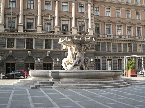 Postal and Telegraphic Museum of Central Europe Museum, Trieste23 km NW
-
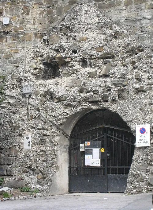 Kleines Berlin Museum, Trieste23 km NW
-
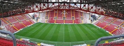 Stadio Nereo Rocco Landmark, Trieste20 km W
-
Monte Stena Mountain, San Dorligo della Valle-Dolina14 km NW
Other cities and towns in Municipality of Hrpelje–Kozina
-
 Brezovica Village, Municipality of Hrpelje–Kozina5.5 km NW
-
 Javorje Village, Municipality of Hrpelje–Kozina4.9 km E
-
 Bač pri Materiji Village, Municipality of Hrpelje–Kozina4.1 km NW
-
 Materija Village, Municipality of Hrpelje–Kozina4.2 km NW
-
 Mrše Village, Municipality of Hrpelje–Kozina2.8 km N
-
 Obrov Village, Municipality of Hrpelje–Kozina4.2 km SE
Sources & licences
Data last updated: