- Population
- 7
- 7
- Elevation
- 495 m
- above sea level
- Local time
- UTC+01:00
- Europe/Ljubljana · UTC+01:00
- Airports
- RJK Rijeka Airport38 km
- LJU Ljubljana Jože Pučnik Airport78 km
About Podvrh
Podvrh is a village. Location: Municipality of Osilnica, Slovenia. Population: 7. Elevation: 495 m.
Podvrh (pronounced [pɔˈdʋəɾx]) is a small settlement in the hills above the left bank of the Kolpa River in the Municipality of Osilnica in southern Slovenia. It lies in the traditional region of Lower Carniola and is now included in the Southeast Slovenia Statistical Region. There is a small chapel-shrine in the settlement dedicated to the Virgin Mary. It dates from 1840.
Source: Wikipedia · CC BY-SA 4.0
At a glance
- Area
- 1.2 km²
Source: Wikidata
Climate of Podvrh
Best months for sightseeingBest months for sightseeing: June–September.
This month · November
A wet month
Day 9° · Night 1° · Rain 163 mm
- Hottest month
- July (day 24°)
- Coldest month
- January (night -3°)
- Wettest month
- November (163 mm)
- Driest month
- January (86 mm)
Bars: average monthly low and high temperature. Below: precipitation. Monthly averages for 1970–2000 at about 18 km resolution, adjusted for elevation. Highlighted months are mild and relatively dry. Source: WorldClim 2.1 (CC BY 4.0).
Show values as a table
| Month | Jan | Feb | Mar | Apr | May | Jun | Jul | Aug | Sep | Oct | Nov | Dec |
|---|---|---|---|---|---|---|---|---|---|---|---|---|
| Average high (°C) | 4° | 5° | 9° | 13° | 18° | 22° | 24° | 24° | 20° | 14° | 9° | 5° |
| Average low (°C) | -3° | -3° | 0° | 3° | 8° | 11° | 13° | 12° | 9° | 5° | 1° | -3° |
| Precipitation (mm) | 86 | 87 | 108 | 124 | 111 | 139 | 108 | 122 | 136 | 158 | 163 | 122 |
Other places to visit in this season: June July August September
How to get to Podvrh
The nearest airport is Rijeka Airport (RJK), 38 km to the south as the crow flies. The nearest large city is Rijeka, 31 km to the southwest.
Airports
- Rijeka Airport (RJK) Rijeka(Omišalj) 38 kmsouth
- Ljubljana Jože Pučnik Airport (LJU) Zgornji Brnik 78 kmnorth
- Pula Airport (PUY) Pula 95 kmsouthwest
Nearby large cities
- Rijeka Population: 108K 31 kmsouthwest
- Ljubljana Population: 272.2K 58 kmnorth
- Zagreb Population: 663.6K 104 kmeast
- Klagenfurt Population: 100.3K 124 kmnorth
- Graz Population: 303.3K 179 kmnorth
Straight-line distances; road distances are longer. Airport data: OurAirports.
Day trips from Podvrh
Within 100 km: 14 historic and cultural sites, 110 natural sites, 78 lakes, rivers and coasts.
0–25 km9 places
- Veliki Snežnik Mountain 19 kmW
- Mala Gora Mountain 25 kmN
- Snežnik Mountain 20 kmW
- Rinža River 16 kmNE
25–60 km36 places
- Krk Island 53 kmS
- Uvala Stipanja Natural site 44 kmS
- Otočić Košljun Island 58 kmS
- Hrušica Mountain 53 kmNW
60–100 km157 places
- Raša River 70 kmNW
- Markovec Mountain 78 kmW
- Šmarna gora Mountain 68 kmN
- Porezen Mountain 90 kmNW
Straight-line distances.
Nearby attractions & nature
Everything nearby-
Čabranka River, Primorje-Gorski Kotar County2.1 km S
-
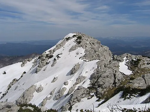 Risnjak Mountain, Primorje-Gorski Kotar County14 km SW
-
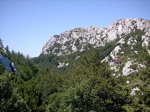 Risnjak National Park Natural site, Primorje-Gorski Kotar County14 km SW
-
 Tuhobić Mountain, Primorje-Gorski Kotar County24 km S
-
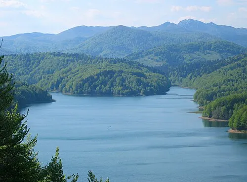 Gorski Kotar Mountain, Primorje-Gorski Kotar County19 km SW
-
Veliki Snežnik Mountain, Municipality of Ilirska Bistrica19 km W
Sources & licences
Data last updated: · 2 independent sources