Talaiassa
Located in Sant Josep de sa Talaia, Balearic Islands Coordinates: 38°54′39″ N 1°16′24″ E
- Elevation
- 487 m
- above sea level
- Local time
- UTC+01:00
- Europe/Madrid · UTC+01:00
- Airports
- IBZ Ibiza Airport10 km
- PMI Palma de Mallorca Airport145 km
About Talaiassa
Talaiassa is a mountain. Location: Sant Josep de sa Talaia, Balearic Islands. Elevation: 487 m.
Sa Talaiassa (Catalan pronunciation: [sə tələˈjasə]), also known as Sa Talaia or Sa Talaia de Sant Josep, is the highest mountain on the island of Ibiza in the Balearic Islands of Spain. It is located in the southwest of the island. Talaia, the name of the mountain, means "watchtower" in Catalan, Talaiassa referring to an especially large one. Sant Josep de sa Talaia, the island's largest municipality, is named after this mountain.
Source: Wikipedia · CC BY-SA 4.0
Photos of Talaiassa
-
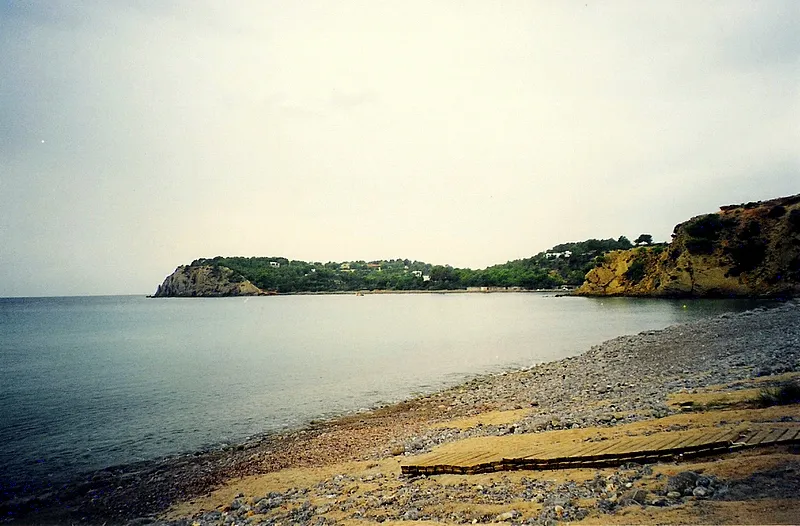
Platja des Jondal Jaume Meneses · CC BY-SA 2.0 -
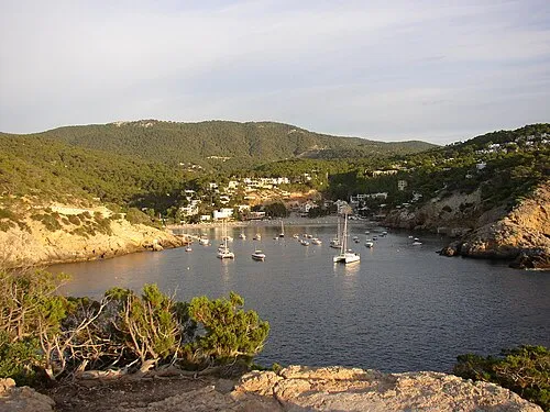
Platja de Vedella Held2805 at German Wikipedia · CC BY-SA 3.0 -
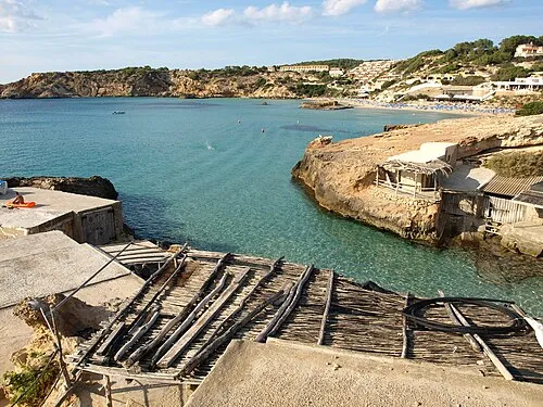
Platja de Tarida Kelly.ibiza · CC BY-SA 3.0 -
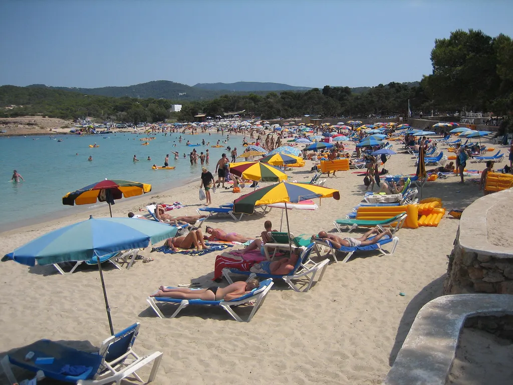
Platja de Bassa Eduardo Pitt from Madrid, Spain · CC BY-SA 2.0 -
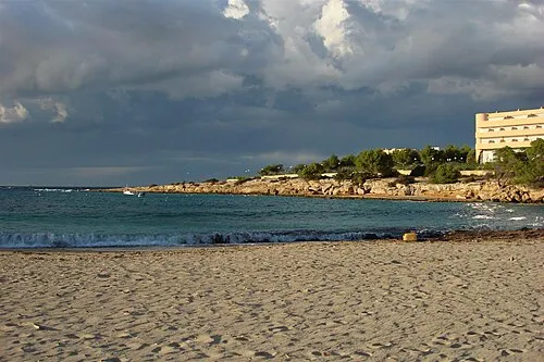
Platja Port d'es Torrent anibal amaro · CC BY 3.0


Climate of Talaiassa
Best months for sightseeingBest months for sightseeing: May–July, September–October.
This month · November
Outside the best season
Day 16° · Night 8° · Rain 49 mm
Better nearby cities in November
- Alicante · 165 km west20°
- Elche · 186 km west20°
- Orihuela · 214 km southwest20°
- Hottest month
- August (day 28°)
- Coldest month
- January (night 4°)
- Wettest month
- October (67 mm)
- Driest month
- July (6 mm)
Bars: average monthly low and high temperature. Below: precipitation. Monthly averages for 1970–2000 at about 18 km resolution, adjusted for elevation. Highlighted months are mild and relatively dry. Source: WorldClim 2.1 (CC BY 4.0).
Show values as a table
| Month | Jan | Feb | Mar | Apr | May | Jun | Jul | Aug | Sep | Oct | Nov | Dec |
|---|---|---|---|---|---|---|---|---|---|---|---|---|
| Average high (°C) | 13° | 13° | 15° | 17° | 20° | 24° | 27° | 28° | 25° | 21° | 16° | 14° |
| Average low (°C) | 4° | 5° | 6° | 7° | 11° | 15° | 17° | 18° | 16° | 12° | 8° | 6° |
| Precipitation (mm) | 41 | 32 | 38 | 33 | 27 | 14 | 6 | 18 | 48 | 67 | 49 | 55 |
Other places to visit in this season: May June July September October
How to get to Talaiassa
The nearest airport is Ibiza Airport (IBZ), 10 km to the southeast as the crow flies. The nearest large city is Palma, 140 km to the northeast.
Airports
- Ibiza Airport (IBZ) Ibiza (Eivissa) 10 kmsoutheast
- Palma de Mallorca Airport (PMI) Palma de Mallorca 145 kmnortheast
- Valencia Airport (VLC) Valencia 165 kmnorthwest
Nearby large cities
- Palma Population: 438.2K 140 kmnortheast
- Valencia Population: 824.3K 156 kmnorthwest
- Castellon Population: 183.7K 165 kmnorthwest
- Alicante Population: 348.9K 165 kmwest
- Elche Population: 234.8K 186 kmwest
Straight-line distances; road distances are longer. Airport data: OurAirports.
Day trips from Talaiassa
Within 100 km: 39 historic and cultural sites, 26 natural sites, 85 lakes, rivers and coasts.
0–25 km86 places
- Ibiza Island 13 kmNE
- Eivissa i Formentera Island 8 kmE
- Cabo Eubarca Natural site 20 kmNE
- Cabo Muson Natural site 18 kmN
25–60 km40 places
- Formentera Island 29 kmSE
- Sierra de la Malacosta Mountain 28 kmNE
- Furnás Mountain 27 kmNE
- Cala d'en Serra Historic site 32 kmNE
60–100 km24 places
- Cabo de San Antonio Natural site 94 kmW
- Faro del Cabo de San Antonio Landmark 94 kmW
- Playa de la Granadella Beach 96 kmW
- Isla del Descubridor Island 94 kmW
Straight-line distances.
Nearest towns and villages
-
San Jose Village, Sant Josep de sa Talaia2.2 km NE
-
 Es Cubells Village, Sant Josep de sa Talaia3.3 km S
-
San Agustin des Vedra Village, Sant Josep de sa Talaia3.8 km NE
-
Municipio de San Antonio Municipality, Balearic Islands8.3 km N
-
Sant Antoni de Portmany Town, Municipio de San Antonio8.2 km N
-
Cala Tarida Village, Sant Josep de sa Talaia4.4 km NW
Nearby attractions & nature
Everything nearby-
Seven Mountain, Sant Josep de sa Talaia0.9 km NW
-
Platja de Vedella Beach, Sant Josep de sa Talaia4.3 km W
-
Platja de Ses Ovelles Beach, Sant Josep de sa Talaia3.9 km S
-
Platja de Moli Beach, Sant Josep de sa Talaia4.1 km NW
-
Platja Port d'es Torrent Beach, Sant Josep de sa Talaia6.2 km N
-
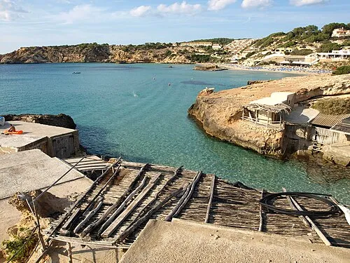 Cala Tarida Beach, Cala Tarida4.5 km NW
-
Platja des Jondal Beach, Sant Josep de sa Talaia6 km SE
-
Platja de Tarida Beach, Balearic Islands4.7 km NW
Sources & licences
Data last updated: · 2 independent sources