- Population
- 1,237
- 1.2K
- Elevation
- 17 m
- above sea level
- Local time
- UTC+01:00
- Europe/Madrid · UTC+01:00
- Airports
- GRO Girona-Costa Brava Airport27 km
- BCN Josep Tarradellas Barcelona-El Prat Airport98 km
About S'Agaró
S'Agaró is a village. Location: Castell-Platja d'Aro, Girona. Population: 1,237. Elevation: 17 m.
S'Agaró (Catalan pronunciation: [səɣəˈɾo]) is an upmarket resort on the Costa Brava between Sant Feliu de Guíxols and Platja d'Aro. It is part of the municipality of Castell-Platja d'Aro, itself in the comarca of Baix Empordà and province of Girona in Catalonia, Spain. The resort was developed from the early 1920s on the peninsular between the beaches of Platja de Sant Pol and Platja de Sa Conca. To date, the promontory contains about 60 exclusive houses and hotels.
Source: Wikipedia · CC BY-SA 4.0
At a glance
- Built
- 1924
- Architectural style
- Noucentisme
- Heritage designation
- bien de interés cultural, Cultural Asset of National Interest
Source: Wikidata
Population of S'Agaró over time
| 2000 | 1,013 | |
|---|---|---|
| 2010 | 1,326 | |
| 2023 | 1,642 | |
| 2024 | 1,653 | |
| 2025 | 1,699 |
Censuses and official estimates; source: Wikidata.
Climate of S'Agaró
Best months for sightseeingBest months for sightseeing: May–July, September–October.
This month · November
Outside the best season
Day 16° · Night 8° · Rain 54 mm
- Hottest month
- July (day 28°)
- Coldest month
- January (night 4°)
- Wettest month
- October (80 mm)
- Driest month
- July (22 mm)
Bars: average monthly low and high temperature. Below: precipitation. Monthly averages for 1970–2000 at about 18 km resolution, adjusted for elevation. Highlighted months are mild and relatively dry. Source: WorldClim 2.1 (CC BY 4.0).
Show values as a table
| Month | Jan | Feb | Mar | Apr | May | Jun | Jul | Aug | Sep | Oct | Nov | Dec |
|---|---|---|---|---|---|---|---|---|---|---|---|---|
| Average high (°C) | 13° | 14° | 16° | 18° | 21° | 25° | 28° | 28° | 25° | 21° | 16° | 14° |
| Average low (°C) | 4° | 5° | 6° | 8° | 12° | 16° | 18° | 19° | 16° | 12° | 8° | 5° |
| Precipitation (mm) | 44 | 36 | 52 | 53 | 51 | 43 | 22 | 49 | 68 | 80 | 54 | 56 |
Other places to visit in this season: May June July September October
How to get to S'Agaró
The nearest airport is Girona-Costa Brava Airport (GRO), 27 km to the northwest as the crow flies. The nearest large city is Girona, 28 km to the northwest.
Airports
- Girona-Costa Brava Airport (GRO) Girona 27 kmnorthwest
- Josep Tarradellas Barcelona-El Prat Airport (BCN) Barcelona 98 kmsouthwest
- Perpignan-Rivesaltes (Llabanère) Airport (PGF) Perpignan/Rivesaltes 106 kmnorth
Nearby large cities
- Girona Population: 100.3K 28 kmnorthwest
- Mataró Population: 127K 58 kmsouthwest
- Badalona Population: 217.7K 77 kmsouthwest
- Santa Coloma de Gramenet Population: 118.8K 80 kmsouthwest
- Sant Martí Population: 235.7K 83 kmsouthwest
Straight-line distances; road distances are longer. Airport data: OurAirports.
Day trips from S'Agaró
Within 100 km: 521 historic and cultural sites, 851 natural sites, 263 lakes, rivers and coasts.
0–25 km199 places
- Platja de Lloret Beach 20 kmSW
- Platja de Canyelles Beach 17 kmSW
- Platja de Port Pelegrí Beach 15 kmNE
- Platgeta d'en Cosme Beach 15 kmNE
25–60 km433 places
- Playa de Sant Simó Beach 57 kmSW
- Platja de Port-alguer Beach 58 kmN
- Platja de l'Estartit Beach 31 kmNE
- Cala Mongó Beach 36 kmN
60–100 km1,003 places
- Platja de Perafita Beach 75 kmN
- Puig Joan Mountain 74 kmN
- Platja del Besòs Beach 80 kmSW
- Platja de Badalona Beach 78 kmSW
Straight-line distances.
Nearby attractions & nature
Everything nearby-
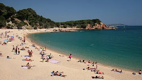 Platja de Sa Conca Beach, Castell-Platja d'Aro0.7 km NE
-
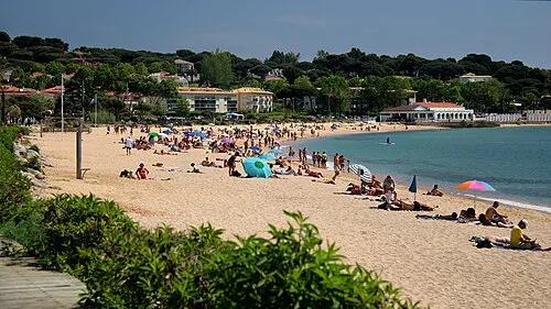 Platja de Sant Pol Beach, Sant Feliu de Guíxols0.5 km SW
-
Parc dels Estanys Natural site, Castell-Platja d'Aro2.1 km N
-
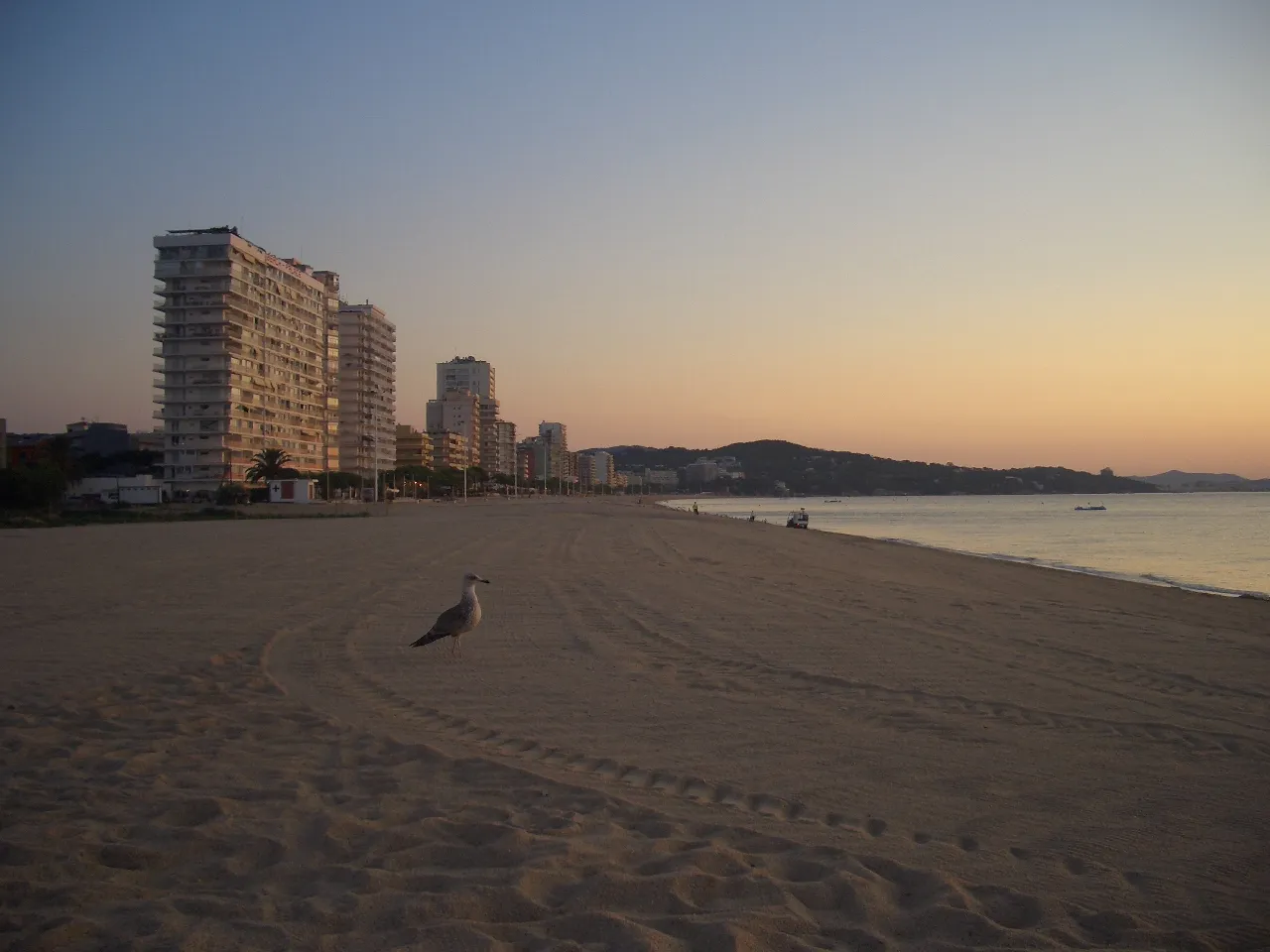 La Platja Gran Beach, Castell-Platja d'Aro2.7 km NE
-
Riu Ridaura River, Catalonia1.3 km NE
-
Museu de Plaques de Cava I Champagne Museum, Sant Feliu de Guíxols2 km SW
Sources & licences
Data last updated: · 2 independent sources