- Elevation
- 5 m
- above sea level
- Local time
- UTC+01:00
- Europe/Madrid · UTC+01:00
- Airports
- GRO Girona-Costa Brava Airport32 km
- PGF Perpignan-Rivesaltes (Llabanère) Airport101 km
About Cala de la Fosca
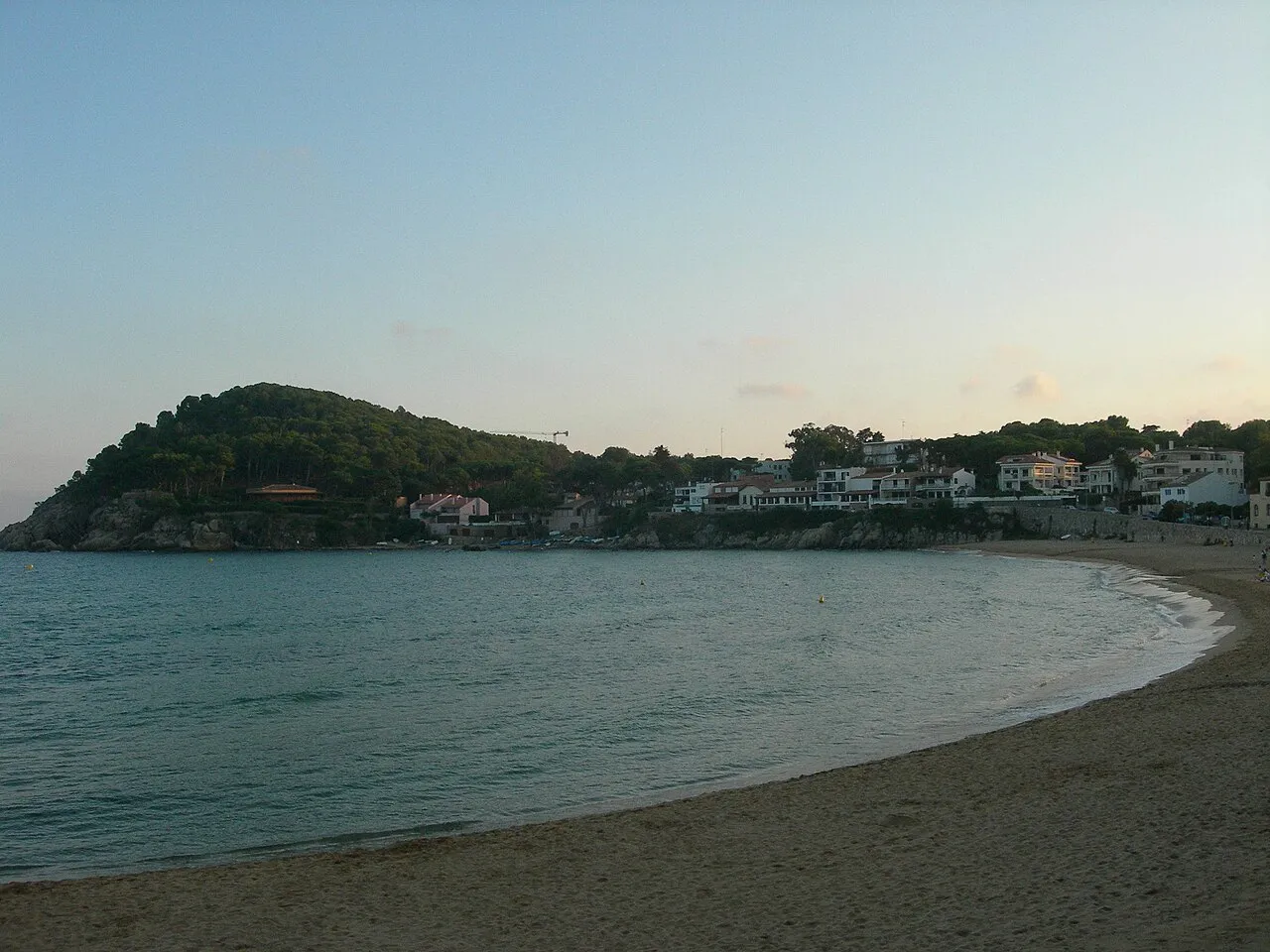
Cala de la Fosca is a beach. Location: Palamós, Girona.
La Fosca is a neighbourhood of the town of Palamós and a beach on the Costa Brava, located in the comarca of Baix Empordà and the province of Girona in Catalonia, Spain. La Fosca is situated between the port of Palamós and the fishing settlement of S'Alguer. The town is by-passed by the C31 which connects the coastal towns of the central Costa Brava with Girona. Palafrugell lies 8.5 kilometres (5.3 mi) to the north and Castell-Platja d'Aro 7 kilometres (4.3 mi) to the south.
Source: Wikipedia · CC BY-SA 4.0
At a glance
- Length
- 0.3 km
Source: Wikidata
Photos of Cala de la Fosca
-

Enric · CC BY-SA 4.0 -

Isidro Jabato · CC BY-SA 4.0 -

JopkeB · CC BY-SA 4.0 -

Enric · CC BY-SA 4.0 -

Wikimedia Commons · Public domain


Climate of Cala de la Fosca
Best months for sightseeingBest months for sightseeing: May–July, September–October.
This month · November
Outside the best season
Day 16° · Night 8° · Rain 50 mm
- Hottest month
- July (day 29°)
- Coldest month
- January (night 4°)
- Wettest month
- October (78 mm)
- Driest month
- July (20 mm)
Bars: average monthly low and high temperature. Below: precipitation. Monthly averages for 1970–2000 at about 18 km resolution, adjusted for elevation. Highlighted months are mild and relatively dry. Source: WorldClim 2.1 (CC BY 4.0).
Show values as a table
| Month | Jan | Feb | Mar | Apr | May | Jun | Jul | Aug | Sep | Oct | Nov | Dec |
|---|---|---|---|---|---|---|---|---|---|---|---|---|
| Average high (°C) | 13° | 14° | 16° | 18° | 21° | 25° | 29° | 29° | 25° | 21° | 16° | 14° |
| Average low (°C) | 4° | 5° | 7° | 8° | 12° | 16° | 18° | 19° | 16° | 12° | 8° | 5° |
| Precipitation (mm) | 39 | 34 | 52 | 51 | 48 | 41 | 20 | 47 | 68 | 78 | 50 | 53 |
Other places to visit in this season: May June July September October
How to get to Cala de la Fosca
The nearest airport is Girona-Costa Brava Airport (GRO), 32 km to the west as the crow flies. The nearest large city is Girona, 30 km to the northwest.
Airports
- Girona-Costa Brava Airport (GRO) Girona 32 kmwest
- Perpignan-Rivesaltes (Llabanère) Airport (PGF) Perpignan/Rivesaltes 101 kmnorth
- Josep Tarradellas Barcelona-El Prat Airport (BCN) Barcelona 108 kmsouthwest
Nearby large cities
- Girona Population: 100.3K 30 kmnorthwest
- Mataró Population: 127K 68 kmsouthwest
- Badalona Population: 217.7K 87 kmsouthwest
- Santa Coloma de Gramenet Population: 118.8K 90 kmsouthwest
- Sant Martí Population: 235.7K 93 kmsouthwest
Straight-line distances; road distances are longer. Airport data: OurAirports.
Day trips from Cala de la Fosca
Within 100 km: 472 historic and cultural sites, 812 natural sites, 258 lakes, rivers and coasts.
0–25 km175 places
- Platja de Port Pelegrí Beach 5 kmNE
- Platgeta d'en Cosme Beach 5 kmNE
- Platja d'en Calau Beach 5 kmNE
- Platja d'Aiguablava Beach 10 kmNE
25–60 km457 places
- Platja de Lloret Beach 30 kmSW
- Platja de Canyelles Beach 28 kmSW
- Platja de Port-alguer Beach 49 kmN
- Cala Mongó Beach 28 kmN
60–100 km910 places
- Platja de Perafita Beach 67 kmN
- Puig Joan Mountain 66 kmN
- Platja del Besòs Beach 90 kmSW
- Platja de Badalona Beach 88 kmSW
Straight-line distances.
Nearest towns and villages
-
Palamós Town, Palamós1.5 km SW
-
Vall-llobrega Municipality, Girona3 km NW
-
Vall-Llobrega Village, Vall-llobrega2.9 km NW
-
Sant Joan de Palamós Village, Palamós1.3 km NW
-
Mont-ras Municipality, Girona3.8 km N
-
Calonge Municipality, Girona4.8 km W
Nearby attractions & nature
Everything nearby-
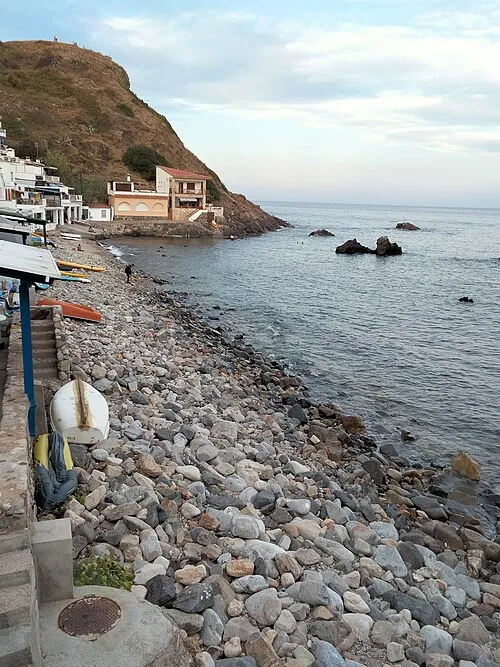 Cala Margarida Beach, Girona0.9 km S
-
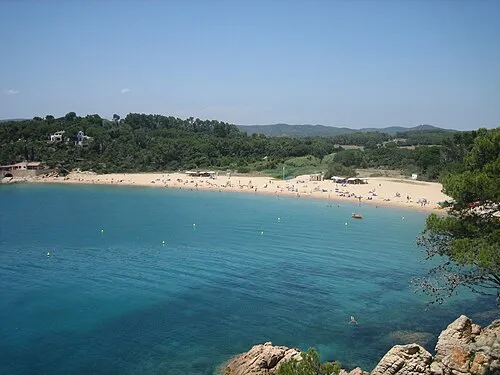 Platja de Castell Beach, Palamós1.2 km NE
-
Punta de Castell Mountain, Palamós1.3 km E
-
Puig Boter Mountain, Palamós2 km NE
-
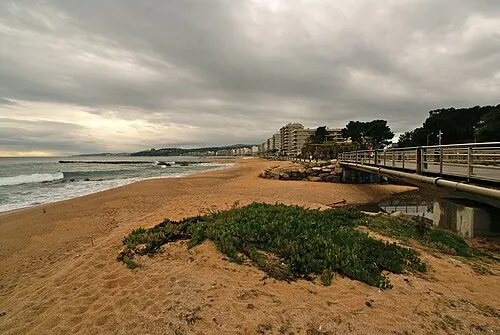 Platja des Monestri Beach, Calonge2.5 km SW
-
Puig d'en Xifre Mountain, Palamós2.3 km W
-
Puig de Terme Mountain, Mont-ras2.7 km NE
-
Puig Arbúcies Mountain, Palamós3.4 km NW
Sources & licences
Data last updated: · 2 independent sources