Masllorenç
Located in Masllorenç Municipality, Tarragona Coordinates: 41°16′00″ N 1°25′00″ E
- Elevation
- 323 m
- above sea level
- Local time
- UTC+01:00
- Europe/Madrid · UTC+01:00
- Airports
- REU Reus Airport25 km
- BCN Josep Tarradellas Barcelona-El Prat Airport56 km
About Masllorenç
Masllorenç is a village. Location: Masllorenç Municipality, Tarragona. Elevation: 323 m. The best months to visit are May–July, September–October. The nearest airport is Reus Airport (25 km). Nearby sights include Tosagrosa and La Mola.
Climate of Masllorenç
Best months for sightseeingBest months for sightseeing: May–July, September–October.
This month · November
Outside the best season
Day 15° · Night 6° · Rain 54 mm
Better nearby cities in November
- Alicante · 363 km southwest20°
- Elche · 380 km southwest20°
- Alicante · 362 km southwest20°
- Hottest month
- July (day 28°)
- Coldest month
- January (night 3°)
- Wettest month
- October (76 mm)
- Driest month
- July (21 mm)
Bars: average monthly low and high temperature. Below: precipitation. Monthly averages for 1970–2000 at about 18 km resolution, adjusted for elevation. Highlighted months are mild and relatively dry. Source: WorldClim 2.1 (CC BY 4.0).
Show values as a table
| Month | Jan | Feb | Mar | Apr | May | Jun | Jul | Aug | Sep | Oct | Nov | Dec |
|---|---|---|---|---|---|---|---|---|---|---|---|---|
| Average high (°C) | 12° | 13° | 15° | 17° | 20° | 24° | 28° | 28° | 25° | 20° | 15° | 13° |
| Average low (°C) | 3° | 4° | 5° | 7° | 10° | 14° | 17° | 18° | 15° | 11° | 6° | 4° |
| Precipitation (mm) | 41 | 33 | 45 | 47 | 61 | 42 | 21 | 47 | 69 | 76 | 54 | 44 |
Other places to visit in this season: May June July September October
How to get to Masllorenç
The nearest airport is Reus Airport (REU), 25 km to the southwest as the crow flies. The nearest large city is Tarragona, 22 km to the southwest.
Airports
- Reus Airport (REU) Reus 25 kmsouthwest
- Josep Tarradellas Barcelona-El Prat Airport (BCN) Barcelona 56 kmeast
- Lleida-Alguaire Airport (ILD) Lleida 90 kmnorthwest
Nearby large cities
- Tarragona Population: 141.5K 22 kmsouthwest
- Reus Population: 103.5K 29 kmsouthwest
- L'Hospitalet de Llobregat Population: 257K 58 kmeast
- Terrassa Population: 218.5K 60 kmnortheast
- Barcelona Population: 1.7M 64 kmeast
Straight-line distances; road distances are longer. Airport data: OurAirports.
Day trips from Masllorenç
Within 100 km: 530 historic and cultural sites, 458 natural sites, 199 lakes, rivers and coasts.
0–25 km125 places
- Playa Barà Beach 12 kmS
- Platja Llarga Beach 18 kmSW
- Platja Segur De Calafell Beach 18 kmSE
- Platja de la Pallisseta Beach 12 kmSE
25–60 km374 places
- Playa del Rincón Beach 30 kmSW
- Playa de Rifá Beach 44 kmSW
- Platja de Sant Sebastià Beach 34 kmE
- Platja del Prat Beach 56 kmE
60–100 km688 places
- Platja del Besòs Beach 70 kmE
- Platja de Badalona Beach 72 kmE
- Playa de Sant Simó Beach 92 kmE
- Barceloneta Beach Beach 66 kmE
Straight-line distances.
Nearby attractions & nature
Everything nearby-
Tosagrosa Mountain, Salomo4.2 km W
-
La Mola Mountain, Bonastre6.1 km S
-
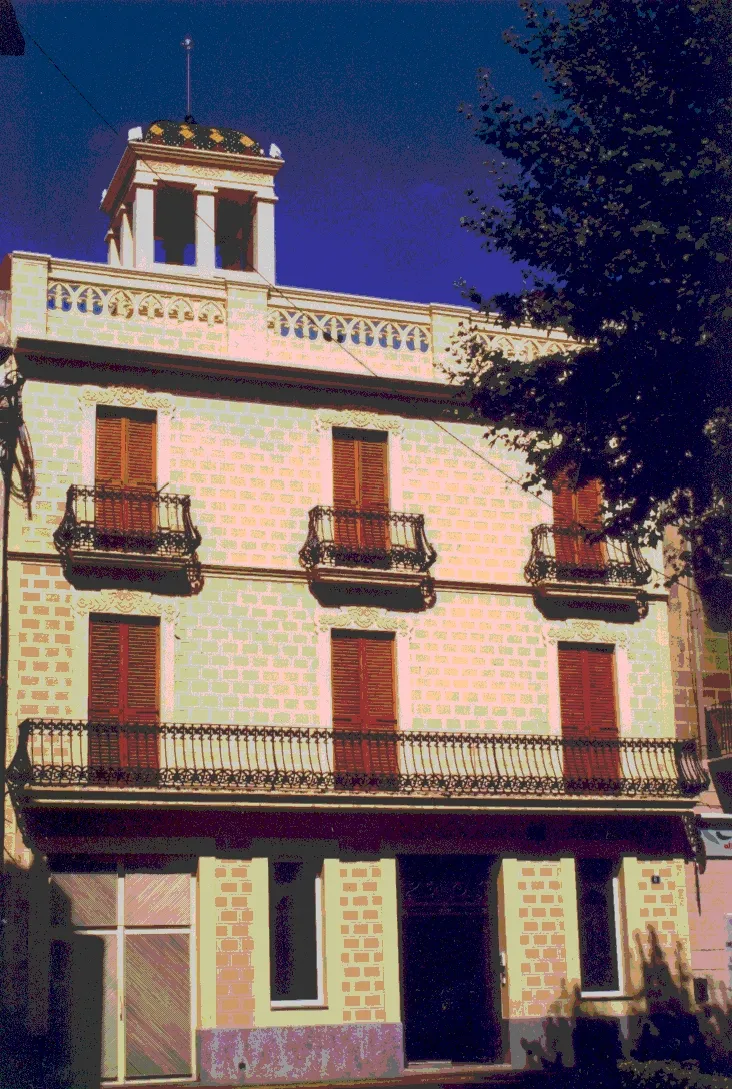 Museu Deu Museum, el Vendrell Municipality11 km SE
-
Puig de la Talaia Mountain, El Montmell Municipality8.7 km NE
-
Roca Ferrana Mountain, Aiguamúrcia Municipality9.4 km N
-
Monestir de Santes Creus Attraction, Aiguamúrcia Municipality9.9 km NW
Sources & licences
Data last updated: