Cabo Salou DGPS-Transmitter
Located in Salou Municipality, Tarragona Coordinates: 41°03′22″ N 1°10′21″ E
- Local time
- UTC+01:00
- Europe/Madrid · UTC+01:00
- Elevation
- 23 m
- above sea level
- Airports
- REU Reus Airport10 km
- BCN Josep Tarradellas Barcelona-El Prat Airport81 km
About Cabo Salou DGPS-Transmitter
Cabo Salou DGPS-Transmitter is a landmark. Location: Salou Municipality, Tarragona. The best months to visit are April–July, September–October. The nearest airport is Reus Airport (10 km). Nearby sights include Faro de Salou and Playa Morisca.
Photos of Cabo Salou DGPS-Transmitter
-
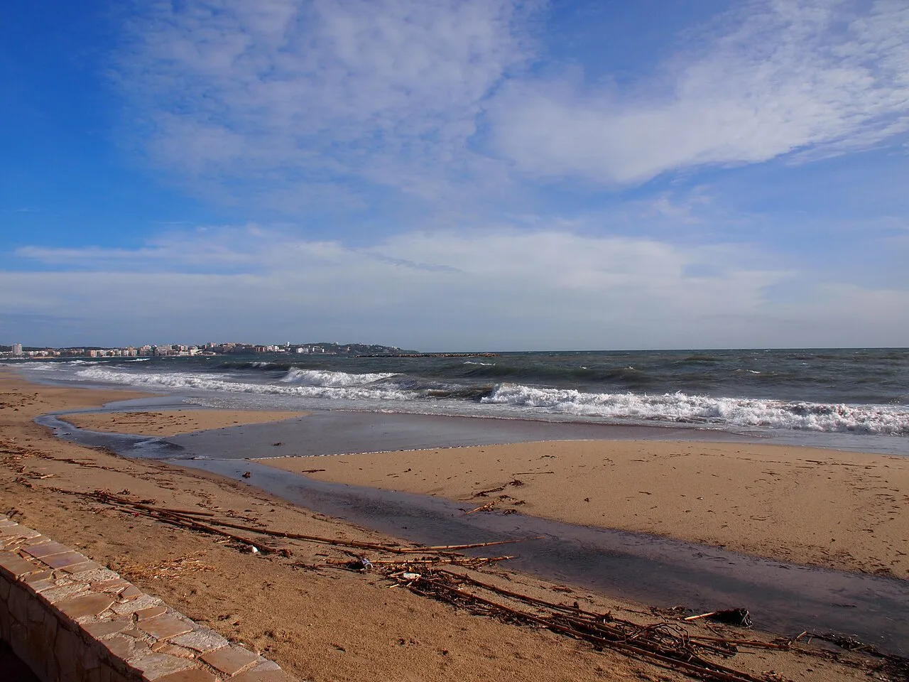
Playa de San Pedro Nuriettadelmas · CC BY-SA 4.0 -
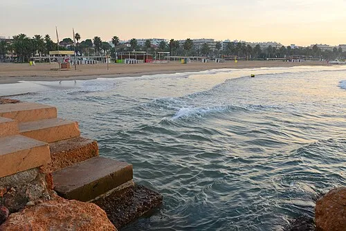
Llevant Beach Андрей Бобровский · CC BY 3.0 -
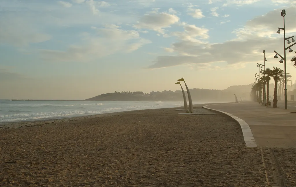
Playa La Pineda Wikimedia Commons · CC BY 2.0 -
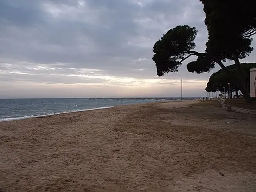
Playa Cambrils D Camilo Nuriettadelmas · CC BY-SA 4.0 -
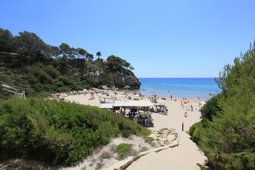
Platja Cala Crancs Raul Rovira · CC BY-SA 4.0


Climate of Cabo Salou DGPS-Transmitter
Best months for sightseeingBest months for sightseeing: April–July, September–October.
This month · November
Outside the best season
Day 17° · Night 8° · Rain 50 mm
Better nearby cities in November
- Alicante · 333 km southwest20°
- Elche · 350 km southwest20°
- Orihuela · 377 km southwest20°
- Hottest month
- August (day 29°)
- Coldest month
- January (night 5°)
- Wettest month
- September (72 mm)
- Driest month
- July (16 mm)
Bars: average monthly low and high temperature. Below: precipitation. Monthly averages for 1970–2000 at about 18 km resolution, adjusted for elevation. Highlighted months are mild and relatively dry. Source: WorldClim 2.1 (CC BY 4.0).
Show values as a table
| Month | Jan | Feb | Mar | Apr | May | Jun | Jul | Aug | Sep | Oct | Nov | Dec |
|---|---|---|---|---|---|---|---|---|---|---|---|---|
| Average high (°C) | 14° | 15° | 17° | 19° | 22° | 25° | 29° | 29° | 26° | 22° | 17° | 15° |
| Average low (°C) | 5° | 6° | 7° | 9° | 12° | 16° | 19° | 20° | 17° | 13° | 8° | 6° |
| Precipitation (mm) | 37 | 25 | 36 | 42 | 59 | 36 | 16 | 48 | 72 | 69 | 50 | 41 |
Other places to visit in this season: April May June July September October
How to get to Cabo Salou DGPS-Transmitter
The nearest airport is Reus Airport (REU), 10 km to the north as the crow flies. The nearest large city is Tarragona, 9 km to the northeast.
Airports
- Reus Airport (REU) Reus 10 kmnorth
- Josep Tarradellas Barcelona-El Prat Airport (BCN) Barcelona 81 kmeast
- Lleida-Alguaire Airport (ILD) Lleida 92 kmnorthwest
Nearby large cities
- Tarragona Population: 141.5K 9 kmnortheast
- Reus Population: 103.5K 12 kmnorthwest
- Lleida Population: 140.8K 77 kmnorthwest
- L'Hospitalet de Llobregat Population: 257K 85 kmnortheast
- Barcelona Population: 1.7M 91 kmnortheast
Straight-line distances; road distances are longer. Airport data: OurAirports.
Day trips from Cabo Salou DGPS-Transmitter
Within 100 km: 476 historic and cultural sites, 372 natural sites, 182 lakes, rivers and coasts.
0–25 km101 places
- Playa del Rincón Beach 1 kmNE
- Playa de Rifá Beach 16 kmW
- Platja Llarga Beach 14 kmNE
- Platja Hospitalet Beach 22 kmW
25–60 km273 places
- Playa Barà Beach 28 kmNE
- Platja de Sant Sebastià Beach 57 kmE
- Platja Avellanes Beach 47 kmSW
- Playa L'Ampolla Beach 46 kmSW
60–100 km656 places
- Playa del Río Beach 88 kmSW
- Platja del Besòs Beach 97 kmNE
- Platja de Badalona Beach 100 kmNE
- Platja del Marjal Beach 78 kmSW
Straight-line distances.
Nearby attractions & nature
Everything nearby-
Faro de Salou Landmark, Salou Municipality0.1 km SW
-
Playa Morisca Beach, Salou Municipality0.4 km W
-
Cabo de Salou Natural site, Salou Municipality0.3 km SW
-
Cap Salou Natural site, Salou Municipality1 km W
-
Platja Cala Crancs Beach, Tarragona1 km W
-
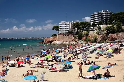 Platja dels Capellans Beach, Salou Municipality2.4 km NW
-
El Farallo Beach, Catalonia1.4 km NE
-
Monumento Els Pilons de Salou Landmark, Salou Municipality2.8 km NW
Nearest towns and villages
-
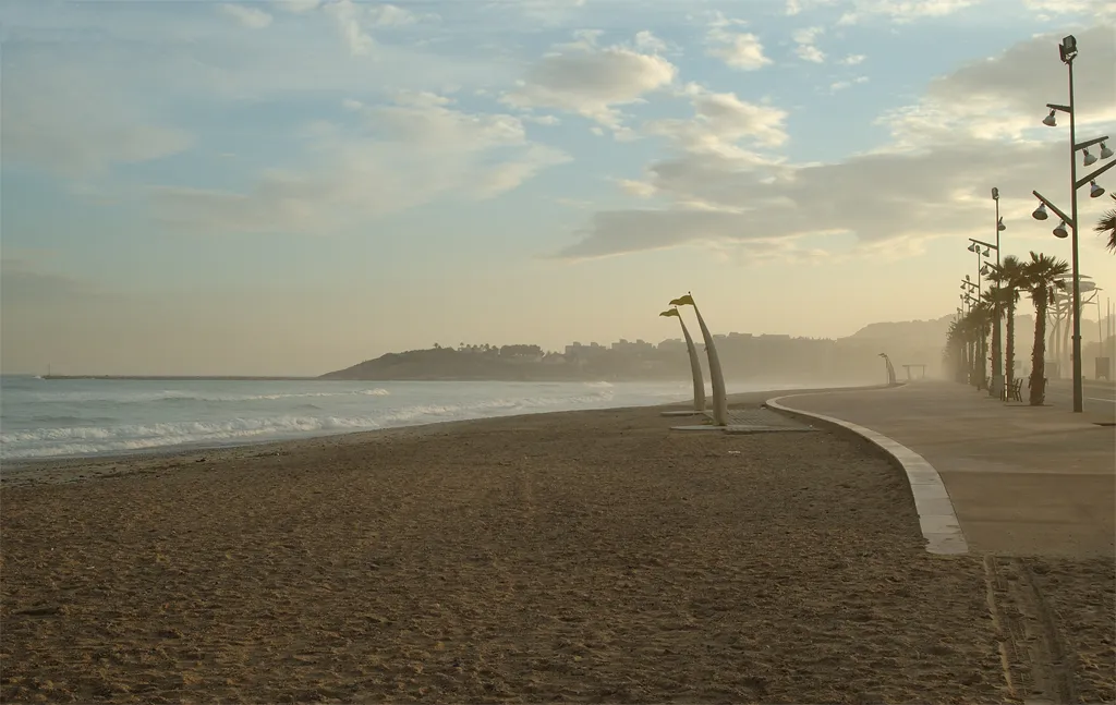 La Pineda Town, Vila-seca Municipality2.4 km N
-
Salou Town, Salou Municipality3.5 km NW
-
Vila-seca Municipality Municipality, Tarragona5.6 km NW
-
Vila-seca Town, Vila-seca Municipality6.5 km N
Sources & licences
Data last updated: