Bonde Palace
Located in Stockholm Municipality, Stockholm County Coordinates: 59°19′34″ N 18°03′59″ E

- Local time
- UTC+01:00
- Europe/Stockholm · UTC+01:00
- Elevation
- 16 m
- above sea level
- Airports
- BMA Stockholm-Bromma Airport8 km
- ARN Stockholm-Arlanda Airport37 km
About Bonde Palace
Bonde Palace is a historic site. Location: Stockholm Municipality, Stockholm County.
The Bonde Palace (Swedish: Bondeska palatset) is a palace in Gamla stan, the old town in central Stockholm, Sweden. Located between the House of Knights (Riddarhuset) and the Chancellery House (Kanslihuset), it is, arguably, the most prominent monument of the era of the Swedish Empire (1611–1718), originally designed by Nicodemus Tessin the Elder and Jean De la Vallée in 1662-1667 as the private residence of the Lord High Treasurer Gustaf Bonde (1620–1667) it still bears his name, while it accommodated the…
Source: Wikipedia · CC BY-SA 4.0
At a glance
- Built
- 1673
- Architect
- Nicodemus Tessin the Elder, Jean de la Vallée
- Heritage designation
- governmental listed building complex
Source: Wikidata
Photos of Bonde Palace
-

Arild Vågen · CC BY-SA 4.0 -

Andrzej Otrębski · CC BY-SA 4.0 -

Frankie Fouganthin · CC BY-SA 3.0 -

John Beer · Public domain -

Daniel from Glasgow, United Kingdom · CC BY 2.0


Climate of Bonde Palace
Best months for sightseeingBest months for sightseeing: June–August.
This month · November
A cold month
Day 5° · Night 0° · Rain 62 mm
- Hottest month
- July (day 22°)
- Coldest month
- February (night -6°)
- Wettest month
- July (69 mm)
- Driest month
- February (30 mm)
Bars: average monthly low and high temperature. Below: precipitation. Monthly averages for 1970–2000 at about 18 km resolution, adjusted for elevation. Highlighted months are mild and relatively dry. Source: WorldClim 2.1 (CC BY 4.0).
Show values as a table
| Month | Jan | Feb | Mar | Apr | May | Jun | Jul | Aug | Sep | Oct | Nov | Dec |
|---|---|---|---|---|---|---|---|---|---|---|---|---|
| Average high (°C) | 0° | 0° | 3° | 8° | 15° | 19° | 22° | 21° | 15° | 10° | 5° | 2° |
| Average low (°C) | -5° | -6° | -3° | 0° | 5° | 10° | 12° | 12° | 8° | 4° | 0° | -3° |
| Precipitation (mm) | 43 | 30 | 35 | 37 | 31 | 55 | 69 | 64 | 58 | 53 | 62 | 53 |
How to get to Bonde Palace
The nearest airport is Stockholm-Bromma Airport (BMA), 8 km to the northwest as the crow flies. For international flights: Stockholm-Arlanda Airport (ARN) (37 km). The nearest large city is Stockholm, 1 km to the north.
Airports
- Stockholm-Bromma Airport (BMA) Stockholm 8 kmnorthwest
- Stockholm-Arlanda Airport (ARN) Stockholm 37 kmnorth
- Stockholm Västerås Airport (VST) Stockholm / Västerås 86 kmwest
Nearby large cities
- Stockholm Population: 1.5M 1 kmnorth
- Sollentuna Population: 139.6K 13 kmnorthwest
- Västerås Population: 127.8K 92 kmwest
- Örebro Population: 156K 163 kmwest
- Jönköping Population: 112.8K 285 kmsouthwest
Straight-line distances; road distances are longer. Airport data: OurAirports.
Day trips from Bonde Palace
Within 100 km: 37 historic and cultural sites, 79 natural sites, 1,101 lakes, rivers and coasts.
0–25 km76 places
- Rindö Island 21 kmNE
- Kalvholmen Island 22 kmSE
- Lillön Island 23 kmW
- Härsö Island 23 kmSE
25–60 km846 places
- Runmarö Island 40 kmE
- Husarö Island 49 kmNE
- Granskär Island 48 kmW
- Galtholmen Island 36 kmE
60–100 km295 places
- Lillö Island 80 kmE
- Högholmen Natural site 71 kmNE
- Hamnholmen Island 74 kmNE
- Bredholmen Island 65 kmNE
Straight-line distances.
Nearby attractions & nature
Everything nearby-
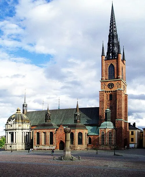 Riddarholm Church Attraction, Stockholm Municipality0.2 km SW
-
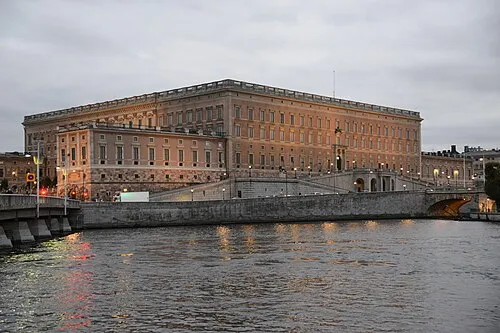 Stockholm Palace Historic site, Stockholm Municipality0.3 km E
-
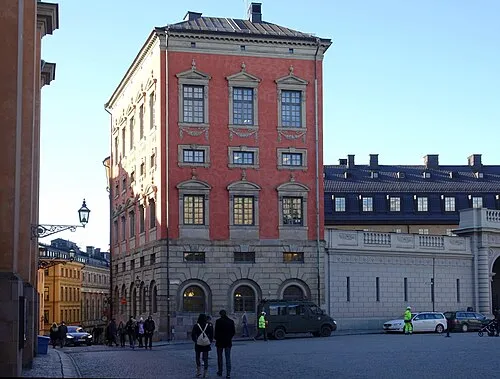 Axel Oxenstiernas Palace Historic site, Stockholm Municipality0.2 km E
-
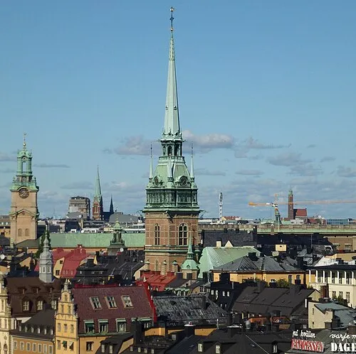 German Church Attraction, Stockholm0.4 km SE
-
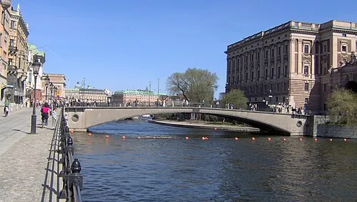 Riksbron Landmark, Stockholm Municipality0.2 km N
-
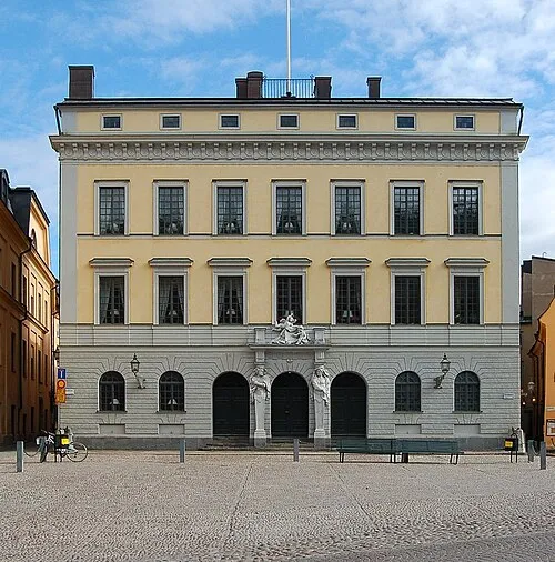 Tessin Palace Historic site, Stockholm Municipality0.3 km E
-
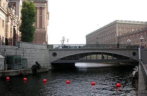 Stallbron Landmark, Stockholm Municipality0.1 km NE
-
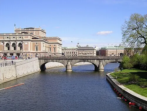 Norrbro Landmark, Stockholm Municipality0.3 km NE
Nearest towns and villages
-
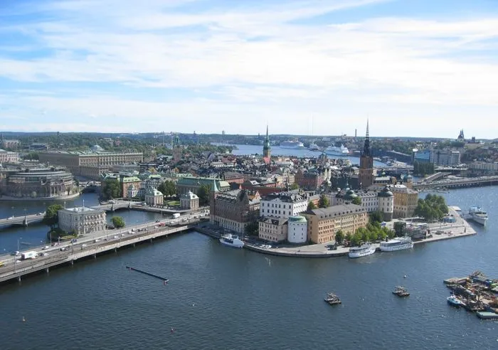 Stockholm City, Stockholm Municipality0.4 km N
-
Stockholms domkyrkoförs. Municipality, Stockholm Municipality0.3 km E
-
Maria Magdalena Municipality, Stockholm Municipality0.8 km S
-
Södermalm Neighbourhood, Stockholm Municipality1.6 km S
More sights in Stockholm Municipality
-
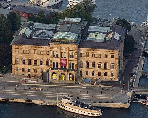 Nationalmuseum Museum, Stockholm0.7 km E
-
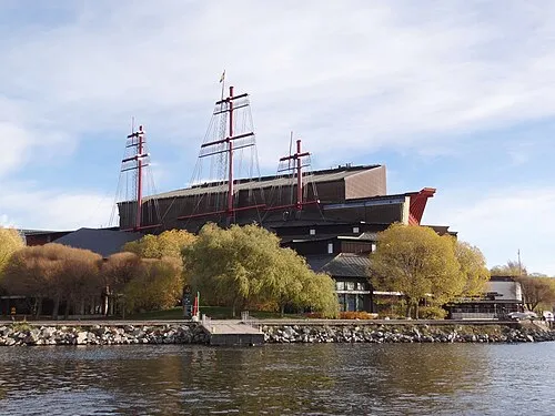 Vasa Museum Museum, Stockholm Municipality1.4 km E
-
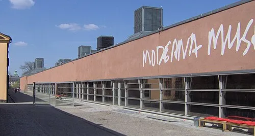 Moderna Museet Museum, Stockholm Municipality1 km E
-
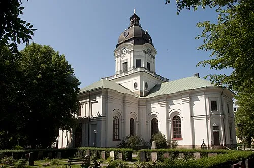 Adolf Fredrik Church Attraction, Stockholm1.4 km N
-
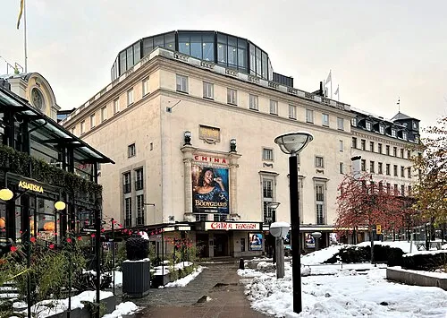 Chinateatern Attraction, Stockholm0.8 km NE
-
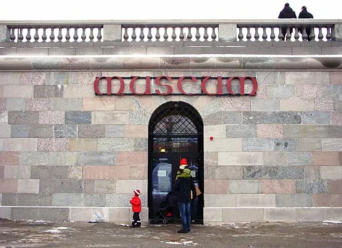 Museum of Medieval Stockholm Museum, Stockholm0.3 km NE
Sources & licences
Data last updated: · 2 independent sources