Riksbron
Located in Stockholm Municipality, Stockholm County Coordinates: 59°19′42″ N 18°04′01″ E
- Local time
- UTC+01:00
- Europe/Stockholm · UTC+01:00
- Elevation
- 17 m
- above sea level
- Airports
- BMA Stockholm-Bromma Airport8 km
- ARN Stockholm-Arlanda Airport37 km
About Riksbron
Riksbron is a landmark. Location: Stockholm Municipality, Stockholm County.
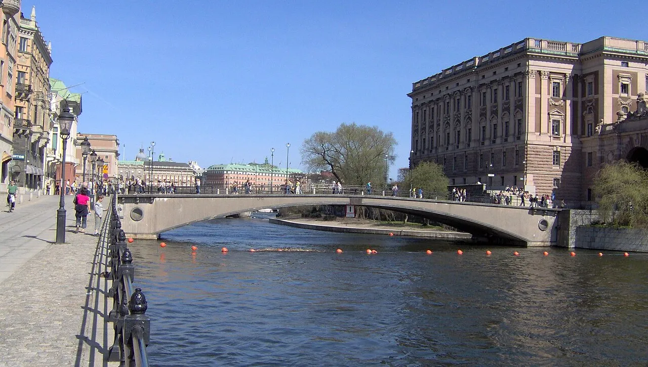
Riksbron (Swedish: "The National Bridge" or "The State Bridge") is an arch bridge in central Stockholm, Sweden, leading from Drottninggatan on Norrmalm 44 metres (144 ft) over to Riksgatan on Helgeandsholmen. The name is derived from the bridge's proximity to several buildings of national importance, including Riksdagen, the Parliament Building; Rosenbad, the Prime Minister's Office and the Government Chancellery; and the Sager House, official residence of the Prime Minister.
Source: Wikipedia · CC BY-SA 4.0
At a glance
- Built
- 1931
- Architect
- Ragnar Östberg
- Length
- 0 km
Source: Wikidata
Photos of Riksbron
-

Tuomas Vitikainen · CC BY-SA 4.0 -

Jorge Láscar from Melbourne, Australia · CC BY 2.0 -

ArildV · CC BY-SA 4.0 -

K. W. Gullers · CC BY-SA 4.0 -

Manfred Werner · CC BY-SA 4.0


Climate of Riksbron
Best months for sightseeingBest months for sightseeing: June–August.
This month · November
A cold month
Day 5° · Night 0° · Rain 62 mm
- Hottest month
- July (day 22°)
- Coldest month
- February (night -6°)
- Wettest month
- July (69 mm)
- Driest month
- February (30 mm)
Bars: average monthly low and high temperature. Below: precipitation. Monthly averages for 1970–2000 at about 18 km resolution, adjusted for elevation. Highlighted months are mild and relatively dry. Source: WorldClim 2.1 (CC BY 4.0).
Show values as a table
| Month | Jan | Feb | Mar | Apr | May | Jun | Jul | Aug | Sep | Oct | Nov | Dec |
|---|---|---|---|---|---|---|---|---|---|---|---|---|
| Average high (°C) | 0° | 0° | 3° | 8° | 15° | 19° | 22° | 21° | 15° | 10° | 5° | 2° |
| Average low (°C) | -5° | -6° | -3° | 0° | 5° | 10° | 12° | 12° | 8° | 4° | 0° | -3° |
| Precipitation (mm) | 43 | 30 | 35 | 37 | 31 | 55 | 69 | 64 | 58 | 53 | 62 | 53 |
How to get to Riksbron
The nearest airport is Stockholm-Bromma Airport (BMA), 8 km to the west as the crow flies. For international flights: Stockholm-Arlanda Airport (ARN) (37 km). The nearest large city is Stockholm, 1 km to the northeast.
Airports
- Stockholm-Bromma Airport (BMA) Stockholm 8 kmwest
- Stockholm-Arlanda Airport (ARN) Stockholm 37 kmnorth
- Stockholm Västerås Airport (VST) Stockholm / Västerås 86 kmwest
Nearby large cities
- Stockholm Population: 1.5M 1 kmnortheast
- Sollentuna Population: 139.6K 13 kmnorthwest
- Västerås Population: 127.8K 92 kmwest
- Örebro Population: 156K 163 kmwest
- Jönköping Population: 112.8K 285 kmsouthwest
Straight-line distances; road distances are longer. Airport data: OurAirports.
Day trips from Riksbron
Within 100 km: 37 historic and cultural sites, 79 natural sites, 1,103 lakes, rivers and coasts.
0–25 km75 places
- Rindö Island 21 kmNE
- Kalvholmen Island 22 kmSE
- Lillön Island 23 kmW
- Härsö Island 23 kmSE
25–60 km847 places
- Runmarö Island 40 kmE
- Husarö Island 49 kmNE
- Granskär Island 48 kmW
- Galtholmen Island 36 kmE
60–100 km297 places
- Lillö Island 80 kmE
- Högholmen Natural site 70 kmNE
- Hamnholmen Island 74 kmNE
- Bredholmen Island 65 kmNE
Straight-line distances.
Nearby attractions & nature
Everything nearby-
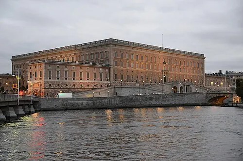 Stockholm Palace Historic site, Stockholm Municipality0.3 km SE
-
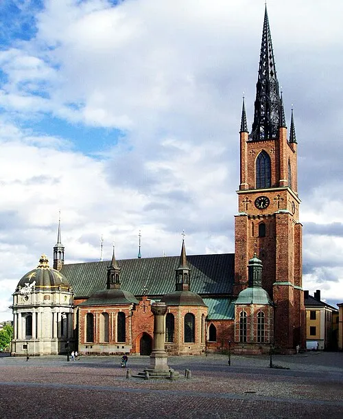 Riddarholm Church Attraction, Stockholm Municipality0.4 km SW
-
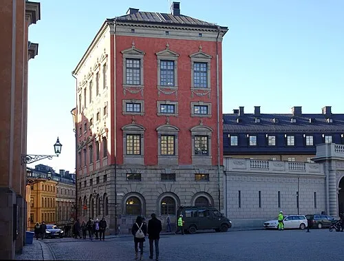 Axel Oxenstiernas Palace Historic site, Stockholm Municipality0.3 km SE
-
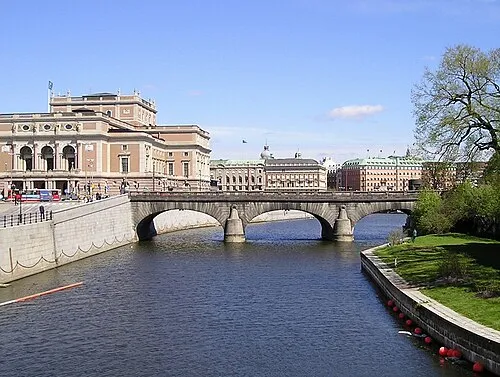 Norrbro Landmark, Stockholm Municipality0.2 km E
-
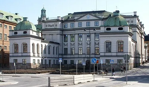 Bonde Palace Historic site, Stockholm Municipality0.2 km S
-
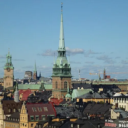 German Church Attraction, Stockholm0.5 km SE
-
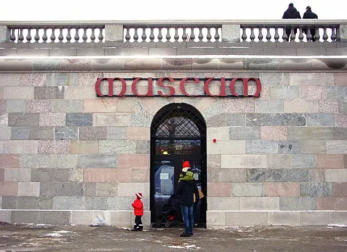 Museum of Medieval Stockholm Museum, Stockholm0.2 km E
-
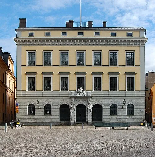 Tessin Palace Historic site, Stockholm Municipality0.4 km SE
Nearest towns and villages
-
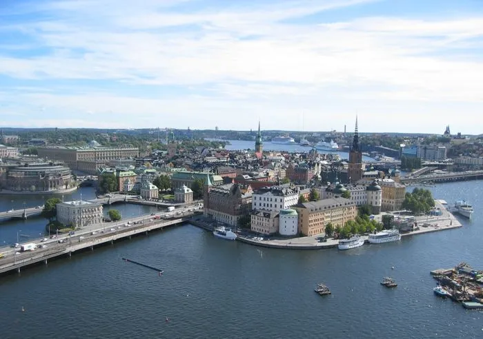 Stockholm City, Stockholm Municipality0.2 km NE
-
Stockholms domkyrkoförs. Municipality, Stockholm Municipality0.3 km SE
-
Maria Magdalena Municipality, Stockholm Municipality1 km S
-
Kungsholm Municipality, Stockholm Municipality1.1 km W
More sights in Stockholm Municipality
-
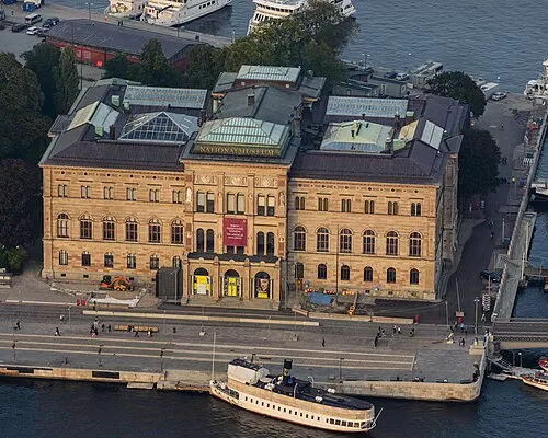 Nationalmuseum Museum, Stockholm0.7 km E
-
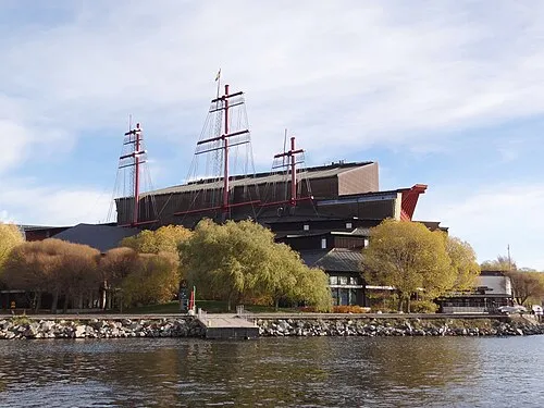 Vasa Museum Museum, Stockholm Municipality1.4 km E
-
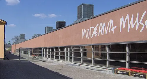 Moderna Museet Museum, Stockholm Municipality1 km E
-
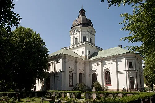 Adolf Fredrik Church Attraction, Stockholm1.1 km N
-
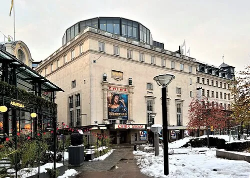 Chinateatern Attraction, Stockholm0.6 km NE
-
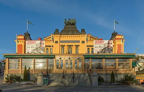 Cirkus Attraction, Stockholm1.9 km E
Sources & licences
Data last updated: · 2 independent sources