- Population
- 1,767,016
- 1.8M
- Elevation
- 146 m
- above sea level
- Local time
- UTC+01:00
- Europe/Stockholm · UTC+01:00
- Places inside
- 542
- listed under Västra Götaland County
- Airports
- THN Trollhättan-Vänersborg Airport52 km
- GOT Göteborg Landvetter Airport57 km
About Västra Götaland County
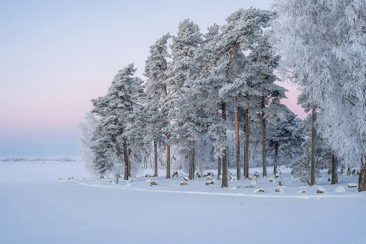
Västra Götaland County is a region. Location: Sweden. Population: 1,767,016.
Västra Götaland County (Swedish: Västra Götalands län [ˈvɛ̂stra ˈjøːtaˌlɑːnds lɛn]) is a county or län on the western coast of Sweden. The county is the second most populous of Sweden's counties and it comprises 49 municipalities (kommuner). Its population of 1,616,000 amounts to 17% of Sweden's population. The formal capital and seat of the governor of Västra Götaland County is Gothenburg. The political capital and seat of the Västra Götaland Regional Council is Vänersborg.
Source: Wikipedia · CC BY-SA 4.0
Places bordering Västra Götaland County
- Värmland County
- Örebro County
- Östergötland County
- Jönköping County
- Halland County
- Østfold
Twin towns and sister cities of Västra Götaland County
Source: Wikidata. Only places with a page on this site are shown.
Population of Västra Götaland County over time
| 2017 | 1,690,782 | |
|---|---|---|
| 2018 | 1,709,814 | |
| 2019 | 1,725,881 | |
| 2020 | 1,734,443 | |
| 2021 | 1,744,859 | |
| 2022 | 1,758,656 | |
| 2023 | 1,767,588 | |
| 2024 | 1,772,190 | |
| 2025 | 1,778,031 | |
| 2026 | 1,778,822 |
Censuses and official estimates; source: Wikidata.
Climate of Västra Götaland County
Best months for sightseeingBest months for sightseeing: June–August.
This month · November
A cold month
Day 5° · Night 0° · Rain 90 mm
- Hottest month
- July (day 21°)
- Coldest month
- February (night -5°)
- Wettest month
- September (92 mm)
- Driest month
- April (49 mm)
Bars: average monthly low and high temperature. Below: precipitation. Monthly averages for 1970–2000 at about 18 km resolution, adjusted for elevation. Highlighted months are mild and relatively dry. Source: WorldClim 2.1 (CC BY 4.0).
Show values as a table
| Month | Jan | Feb | Mar | Apr | May | Jun | Jul | Aug | Sep | Oct | Nov | Dec |
|---|---|---|---|---|---|---|---|---|---|---|---|---|
| Average high (°C) | 1° | 1° | 4° | 9° | 16° | 19° | 21° | 20° | 15° | 10° | 5° | 2° |
| Average low (°C) | -5° | -5° | -3° | 0° | 5° | 9° | 11° | 10° | 7° | 4° | 0° | -3° |
| Precipitation (mm) | 75 | 51 | 54 | 49 | 52 | 73 | 79 | 74 | 92 | 88 | 90 | 83 |
How to get to Västra Götaland County
The nearest airport is Trollhättan-Vänersborg Airport (THN), 52 km to the northwest as the crow flies. For international flights: Göteborg Landvetter Airport (GOT) (57 km). The nearest large city is Gothenburg, 69 km to the southwest.
Airports
- Trollhättan-Vänersborg Airport (THN) Trollhättan 52 kmnorthwest
- Göteborg Landvetter Airport (GOT) Göteborg 57 kmsouthwest
- Jönköping Airport (JKG) Jönköping 69 kmsoutheast
Nearby large cities
- Gothenburg Population: 608.5K 69 kmsouthwest
- Jönköping Population: 112.8K 73 kmeast
- Örebro Population: 156K 191 kmnortheast
- Aalborg Population: 142.9K 213 kmsouthwest
- Helsingborg Population: 104.2K 218 kmsouth
Straight-line distances; road distances are longer. Airport data: OurAirports.
Places in Västra Götaland County
542 placesMountains & nature13
- Hansholmen · Natural site
- Härnäs · Natural site
- Havden · Natural site
- Hinden · Natural site
- Hisingen · Natural site
- Hogdalsnäset · Natural site
- Högholmen · Natural site
- Holländarberget · Natural site
- Holmudden · Natural site
- Hundholmen · Natural site
- Kackholmen · Natural site
- Kalven · Natural site
- Karholmen · Natural site
Lakes, rivers & coasts47
- Hamnskär · Island
- Hamnsundet · Island
- Hängesten · Island
- Hannevikeholmen · Island
- Haralden · Island
- Härholme · Island
- Härme Rissholmen · Island
- Hasstensholmen · Island
- Hemön · Island
- Hjälm · Island
- Hjältön · Island
- Hjärterö · Island
- Hjärtholmen · Island
- Högholmen · Island
- Högholmen · Island
- Högholmen · Island
- Högholmen · Island
- Högö · Island
- Holmengrå · Island
- Holmen Grå · Island
- Holmen Grå · Island
- Hönö · Island
- Hornö · Island
- Hovden · Island
- Hundholmen · Island
- Hunneskär · Island
- Huseviksholmen · Island
- Husholmen · Island
- Hyppelns Kalv · Island
- Inre Burholmen · Island
- Inre Huö · Island
- Jonsborg · Island
- Jutholmen · Island
- Kälkerön · Island
- Källingeholmen · Island
- Källö · Island
- Kalmarholmen · Island
- Kålö · Island
- Kalven · Island
- Kalvholmen · Island
- Kalvön · Island
- Kalvön · Island
- Kalvön · Island
- Kalvön · Island
- Kamperholmen · Island
- Karholmen · Island
- Karholmen · Island
Largest cities and towns
-
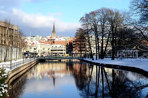 Borås City, Borås71.7K
-
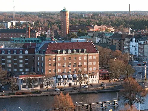 Trollhättan City, Trollhättan Municipality48.6K
-
Gothenburg City, Gothenburg Municipality608.5K
-
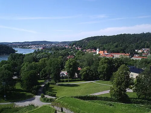 Kungälv City, Kungälv Municipality24.1K
-
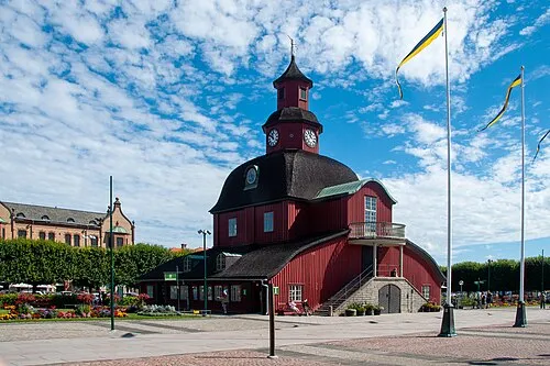 Lidköping City, Lidköping Municipality23K
-
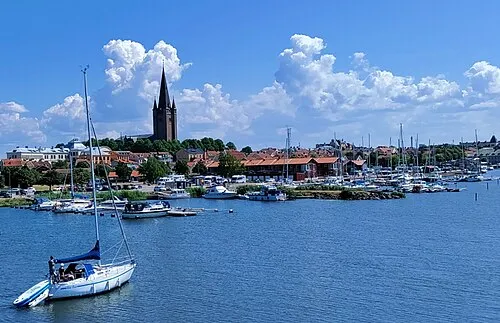 Mariestad City, Mariestads Kommun16.1K
-
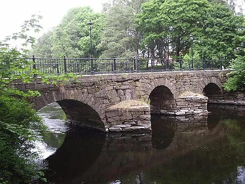 Lerum City, Lerum26.9K
-
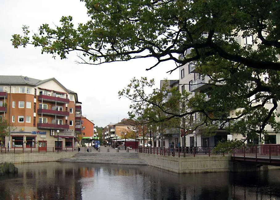 Mölnlycke City, Härryda Municipality17.6K
Nature and heritage in Västra Götaland County
Sources & licences
Data last updated: · 2 independent sources