- Elevation
- 804 m
- above sea level
- Local time
- UTC+01:00
- Europe/Zurich · UTC+01:00
- Airports
- ZRH Zürich Airport72 km
- ACH Sankt Gallen Altenrhein Airport80 km
About Tierfehd
Tierfehd is a village. Location: Glarus Süd, Glarus. Elevation: 804 m. The best months to visit are July–August. The nearest airport is Zürich Airport (72 km). Nearby sights include Malor and Tor.
Photos of Tierfehd
-
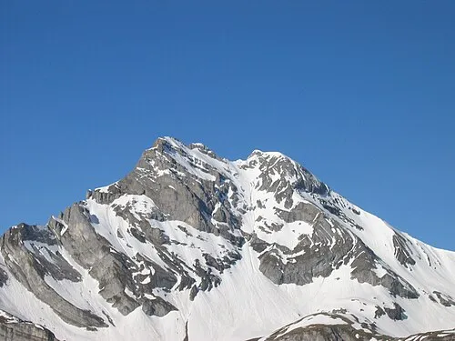
Ortstock Felix Günther FeG · CC BY-SA 2.5 -
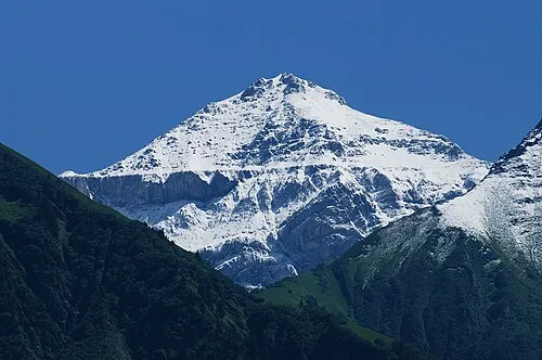
Hausstock böhringer friedrich · CC BY-SA 2.5 -
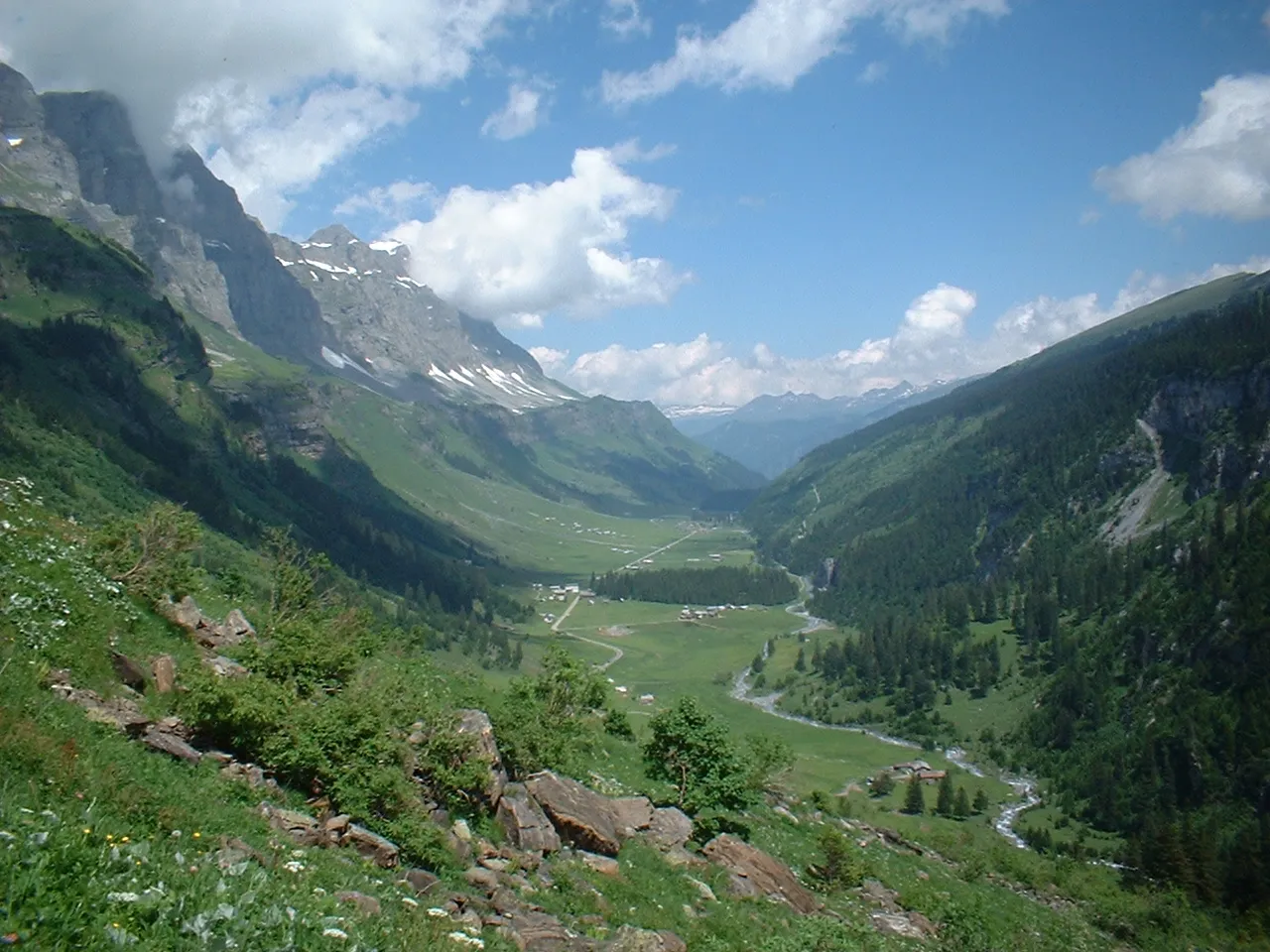
Urnerboden Lutz Fischer-Lamprecht · CC BY-SA 4.0


Climate of Tierfehd
Best months for sightseeingBest months for sightseeing: July–August.
This month · November
A wet month
Day 9° · Night 3° · Rain 151 mm
- Hottest month
- July (day 20°)
- Coldest month
- February (night -1°)
- Wettest month
- July (199 mm)
- Driest month
- February (114 mm)
Bars: average monthly low and high temperature. Below: precipitation. Monthly averages for 1970–2000 at about 18 km resolution, adjusted for elevation. Highlighted months are mild and relatively dry. Source: WorldClim 2.1 (CC BY 4.0).
Show values as a table
| Month | Jan | Feb | Mar | Apr | May | Jun | Jul | Aug | Sep | Oct | Nov | Dec |
|---|---|---|---|---|---|---|---|---|---|---|---|---|
| Average high (°C) | 5° | 5° | 7° | 9° | 14° | 17° | 20° | 20° | 17° | 13° | 9° | 6° |
| Average low (°C) | -1° | -1° | 1° | 3° | 8° | 11° | 13° | 13° | 11° | 7° | 3° | 0° |
| Precipitation (mm) | 126 | 114 | 130 | 156 | 160 | 188 | 199 | 186 | 165 | 150 | 151 | 136 |
How to get to Tierfehd
The nearest airport is Zürich Airport (ZRH), 72 km to the northwest as the crow flies. The nearest large city is Zurich, 63 km to the northwest.
Airports
- Zürich Airport (ZRH) Zurich 72 kmnorthwest
- Sankt Gallen Altenrhein Airport (ACH) St. Gallen 80 kmnortheast
- Bodensee Airport Friedrichshafen (FDH) Friedrichshafen 97 kmnortheast
Nearby large cities
- Zurich Population: 415.4K 63 kmnorthwest
- Winterthur Population: 111.8K 72 kmnorth
- Bern Population: 121.6K 117 kmwest
- Basel Population: 177.6K 130 kmnorthwest
- Freiburg im Breisgau Population: 237.5K 150 kmnorthwest
Straight-line distances; road distances are longer. Airport data: OurAirports.
Day trips from Tierfehd
Within 100 km: 368 historic and cultural sites, 7,194 natural sites, 1,110 lakes, rivers and coasts.
0–25 km881 places
- Wägitalersee Lake 23 kmN
- Obersee Lake 23 kmN
- Klöntalersee Lake 16 kmN
- Lag Prau Pulté Lake 23 kmE
25–60 km3,135 places
- Lago Nero Lake 59 kmSW
- Ufenau Island 40 kmN
- Insel Lützelau Island 40 kmN
- Schönenwerd Island 41 kmNW
60–100 km4,656 places
- Mainau Island 93 kmN
- Fahr Abbey Attraction 72 kmNW
- Dominikanerinsel Konstanz Island 88 kmN
- Strandbad Steckborn Beach 86 kmN
Straight-line distances.
Nearby attractions & nature
Everything nearby-
Malor Mountain, Glarus Süd1.5 km W
-
Tor Mountain, Glarus Süd1.8 km E
-
Chamerstock Mountain, Glarus Süd1.8 km NW
-
Fätschbach Fälle Natural site, Switzerland1.1 km W
-
Gälb Chopf Mountain, Glarus Süd1.9 km SE
-
Turm Mountain, Glarus Süd1.9 km NW
Sources & licences
Data last updated: