Piano di Peccia
Located in Lavizzara, Vallemaggia District Coordinates: 46°24′52″ N 8°36′29″ E
- Elevation
- 1,034 m
- above sea level
- Local time
- UTC+01:00
- Europe/Zurich · UTC+01:00
- Airports
- LUG Lugano Airport51 km
- MXP Milan Malpensa International Airport88 km
About Piano di Peccia
Piano di Peccia is a village. Location: Lavizzara, Vallemaggia District. Elevation: 1,034 m. The best months to visit are July–September. The nearest airport is Lugano Airport (51 km). Nearby sights include Pizzo Mascarpino and Costa di Cröis.
Photos of Piano di Peccia
-
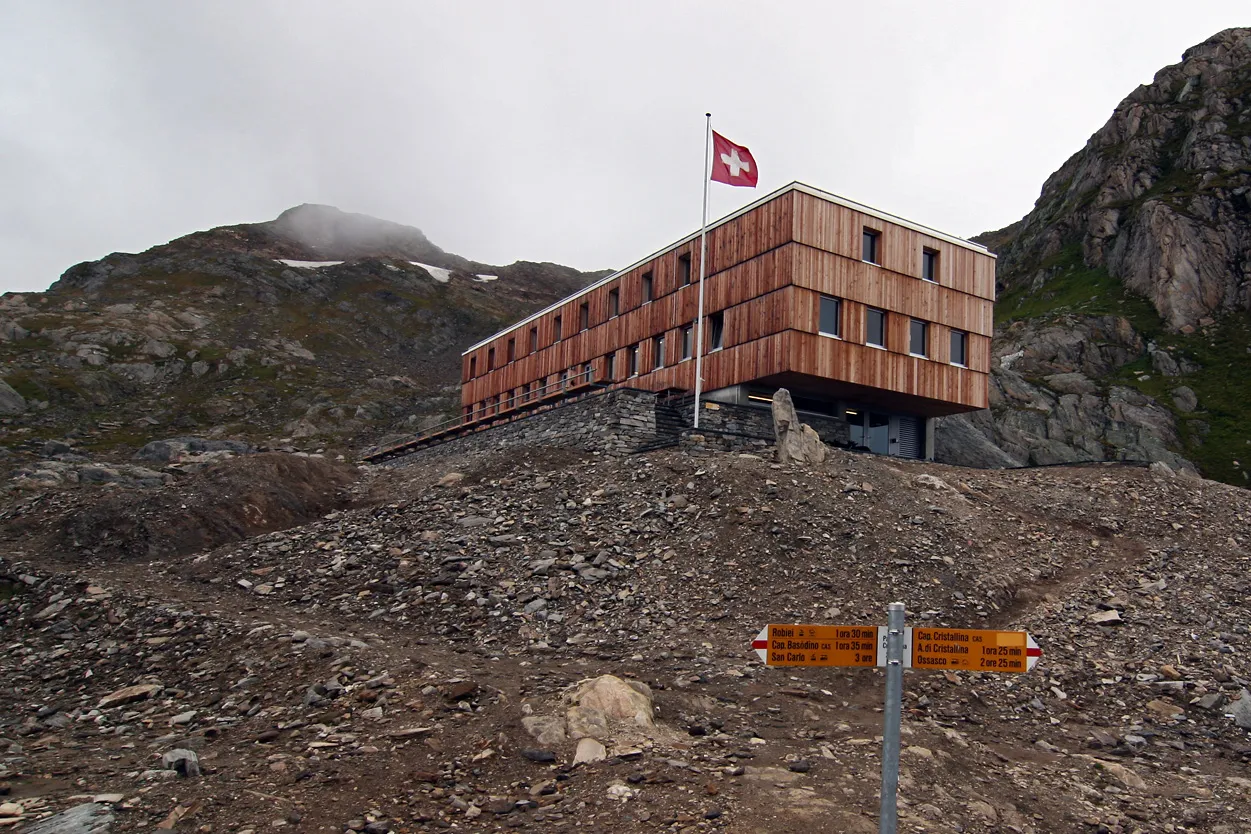
Cristallina Stephan Wiesner · CC BY-SA 3.0 -
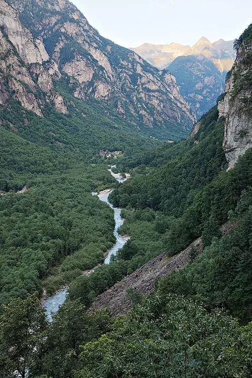
Val Bavona Ikiwaner · CC BY-SA 3.0


Climate of Piano di Peccia
Best months for sightseeingBest months for sightseeing: July–September.
This month · November
A wet month
Day 8° · Night 1° · Rain 106 mm
- Hottest month
- July (day 21°)
- Coldest month
- February (night -2°)
- Wettest month
- June (137 mm)
- Driest month
- February (73 mm)
Bars: average monthly low and high temperature. Below: precipitation. Monthly averages for 1970–2000 at about 18 km resolution, adjusted for elevation. Highlighted months are mild and relatively dry. Source: WorldClim 2.1 (CC BY 4.0).
Show values as a table
| Month | Jan | Feb | Mar | Apr | May | Jun | Jul | Aug | Sep | Oct | Nov | Dec |
|---|---|---|---|---|---|---|---|---|---|---|---|---|
| Average high (°C) | 5° | 5° | 7° | 9° | 13° | 17° | 21° | 20° | 17° | 13° | 8° | 6° |
| Average low (°C) | -2° | -2° | -1° | 2° | 6° | 9° | 12° | 12° | 9° | 6° | 1° | -1° |
| Precipitation (mm) | 83 | 73 | 95 | 120 | 133 | 137 | 131 | 136 | 125 | 127 | 106 | 85 |
How to get to Piano di Peccia
The nearest airport is Lugano Airport (LUG), 51 km to the southeast as the crow flies. For international flights: Milan Malpensa International Airport (MXP) (88 km). The nearest large city is Zurich, 106 km to the north.
Airports
- Lugano Airport (LUG) Agno 51 kmsoutheast
- Milan Malpensa International Airport (MXP) Ferno (VA) 88 kmsouth
- Bern Airport (BRN) Bern 101 kmnorthwest
Nearby large cities
- Zurich Population: 415.4K 106 kmnorth
- Bern Population: 121.6K 107 kmnorthwest
- Winterthur Population: 111.8K 122 kmnorth
- Basel Population: 177.6K 150 kmnorthwest
- Lausanne Population: 139.1K 152 kmwest
Straight-line distances; road distances are longer. Airport data: OurAirports.
Day trips from Piano di Peccia
Within 100 km: 146 historic and cultural sites, 6,977 natural sites, 890 lakes, rivers and coasts.
0–25 km796 places
- Lago Nero Lake 7 kmNW
- Lago Tremorgio Lake 11 kmNE
- Lago Sfundau Lake 8 kmNW
- Lago del Sambuco Lake 6 kmNE
25–60 km3,227 places
- Strandbad Iseltwald Beach 59 kmNW
- Strandbad Brienz Beach 57 kmNW
- Isole di Brissago Island 33 kmS
- Sant' Apollinare Island 33 kmS
60–100 km3,990 places
- Strandbad Neuhaus Beach 67 kmNW
- Strandbad Manor Farm Beach 68 kmNW
- Strandbad Leissigen Beach 70 kmNW
- Ufenau Island 90 kmN
Straight-line distances.
Nearby attractions & nature
Everything nearby-
Pizzo Mascarpino Mountain, Lavizzara1.9 km NE
-
Costa di Cröis Mountain, Lavizzara2.1 km SW
-
Pizzo della Vena Nuova Mountain, Lavizzara2.3 km S
-
Pizzo del Piatto di Röd Mountain, Lavizzara2.4 km N
-
Corona dei Sasselli Mountain, Lavizzara2.5 km E
-
Pizzo della Rossa Mountain, Lavizzara2.7 km W
Sources & licences
Data last updated: