Zwartebroek
Located in Barneveld Municipality, Gelderland Coordinates: 52°10′45″ N 5°30′15″ E
- Population
- 775
- 775
- Elevation
- 6 m
- above sea level
- Local time
- UTC+01:00
- Europe/Amsterdam · UTC+01:00
- Airports
- AMS Amsterdam Airport Schiphol53 km
- RTM Rotterdam The Hague Airport77 km
About Zwartebroek
Zwartebroek is a village. Location: Barneveld Municipality, Gelderland. Population: 775. Elevation: 6 m.
Zwartebroek is a village in the municipality of Barneveld in the Dutch province of Gelderland. The village is situated on the Veluwe. It lies north of Terschuur and east of Hoevelaken. Like its neighbour Nijkerkerveen, Zwartebroek was founded as a result of the peat extraction in the area. In 1840, it was home to 596 people. In 1850, a church was built in the village.
Source: Wikipedia · CC BY-SA 4.0
Climate of Zwartebroek
Best months for sightseeingBest months for sightseeing: June–August.
This month · November
A cold month
Day 9° · Night 3° · Rain 81 mm
- Hottest month
- August (day 22°)
- Coldest month
- February (night 0°)
- Wettest month
- November (81 mm)
- Driest month
- April (48 mm)
Bars: average monthly low and high temperature. Below: precipitation. Monthly averages for 1970–2000 at about 18 km resolution, adjusted for elevation. Highlighted months are mild and relatively dry. Source: WorldClim 2.1 (CC BY 4.0).
Show values as a table
| Month | Jan | Feb | Mar | Apr | May | Jun | Jul | Aug | Sep | Oct | Nov | Dec |
|---|---|---|---|---|---|---|---|---|---|---|---|---|
| Average high (°C) | 5° | 6° | 9° | 13° | 18° | 20° | 22° | 22° | 19° | 14° | 9° | 6° |
| Average low (°C) | 0° | 0° | 2° | 4° | 7° | 10° | 12° | 12° | 9° | 6° | 3° | 1° |
| Precipitation (mm) | 71 | 52 | 70 | 48 | 61 | 73 | 71 | 64 | 74 | 73 | 81 | 81 |
How to get to Zwartebroek
The nearest airport is Amsterdam Airport Schiphol (AMS), 53 km to the west as the crow flies. The nearest large city is Amersfoort, 8 km to the west.
Airports
- Amsterdam Airport Schiphol (AMS) Amsterdam 53 kmwest
- Rotterdam The Hague Airport (RTM) Rotterdam 77 kmwest
- Weeze (Niederrhein) Airport (NRN) Weeze 78 kmsoutheast
Nearby large cities
- Amersfoort Population: 139.9K 8 kmwest
- Utrecht Population: 376.4K 28 kmwest
- Almere Stad Population: 176.4K 29 kmnorthwest
- Apeldoorn Population: 136.7K 32 kmeast
- Arnhem Population: 162.4K 36 kmsoutheast
Straight-line distances; road distances are longer. Airport data: OurAirports.
Day trips from Zwartebroek
Within 100 km: 172 historic and cultural sites, 169 natural sites, 106 lakes, rivers and coasts.
0–25 km37 places
- Zwarte Berg Mountain 24 kmNE
- Zwarte Berg Mountain 23 kmW
- Valenberg Mountain 22 kmNE
- Valenberg Mountain 21 kmSE
25–60 km154 places
- Putjensberg Mountain 41 kmNE
- Wijlermeer Lake 51 kmSE
- Strang Lake 59 kmSE
- Forst Tiergarten Natural site 60 kmSE
60–100 km256 places
- IJsselmonde Island 76 kmSW
- Wegmeerheide Natural site 94 kmSW
- Staatbossen Natural site 94 kmS
- Reuselsbos Natural site 99 kmS
Straight-line distances.
Nearby attractions & nature
Everything nearby-
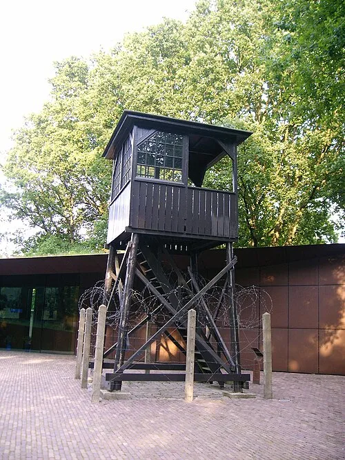 Police Custody Camp Amersfoort Historic site, Amersfoort Municipality8.4 km W
-
 DierenPark Amersfoort Attraction, Amersfoort Municipality11 km W
-
Galgenberg Mountain, Amersfoort Municipality10 km SW
-
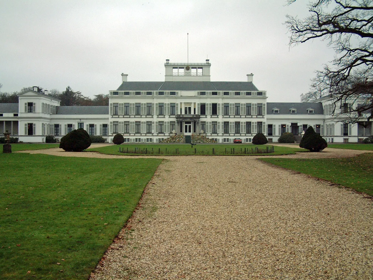 Soestdijk Palace Historic site, Baarn Municipality15 km W
-
Steenenberg Mountain, Ede Municipality14 km SE
-
Galgenberg Mountain, Ede Municipality15 km SE
Other cities and towns in Barneveld Municipality
-
 De Glind Village, Barneveld Municipality6.6 km S
-
Kootwijkerbroek Village, Barneveld Municipality12 km E
-
Kallenbroek Village, Barneveld Municipality3.7 km SE
-
 Garderen Village, Barneveld Municipality15 km E
-
Stroe Village, Barneveld Municipality13 km E
-
Wessel Village, Barneveld Municipality9.4 km E
Sources & licences
Data last updated: · 2 independent sources