- Population
- 520
- 520
- Elevation
- 9 m
- above sea level
- Local time
- UTC+01:00
- Europe/Amsterdam · UTC+01:00
- Airports
- NRN Weeze (Niederrhein) Airport43 km
- EIN Eindhoven Airport45 km
About Batenburg
Batenburg is a village. Location: Gemeente Wijchen, Gelderland. Population: 520. Elevation: 9 m.
Batenburg (Dutch pronunciation: [ˈbaːtə(m)bʏr(ə)x]) is a city in the municipality of Wijchen, in the Dutch province of Gelderland. It is located on the Meuse, about 15 km west of Nijmegen. It is well known for the remains of a medieval fort in the center of the town. Batenburg received city rights in 1349. Until 1984, Batenburg was a separate municipality. It was first mentioned in 1166 as Battenburg. The etymology in unclear. Batenburg developed around Batenburg Castle.
Read more on Wikipedia Text: Wikipedia contributors · CC BY-SA 4.0 · shortened
In comparison
- No. 6 of 10 places in Gemeente Wijchen by population
- Nearest larger town: Appeltern, 3 km W
Climate of Batenburg
Best months for sightseeingBest months for sightseeing: June–August.
Bars: average monthly low and high temperature. Below: precipitation. Monthly averages for 1970–2000 at about 18 km resolution, adjusted for elevation. Highlighted months are mild and relatively dry. Source: WorldClim 2.1 (CC BY 4.0).
Show values as a table
| Month | Jan | Feb | Mar | Apr | May | Jun | Jul | Aug | Sep | Oct | Nov | Dec |
|---|---|---|---|---|---|---|---|---|---|---|---|---|
| Average high (°C) | 5° | 6° | 10° | 13° | 18° | 21° | 23° | 23° | 19° | 14° | 9° | 6° |
| Average low (°C) | 0° | 0° | 2° | 4° | 8° | 10° | 12° | 12° | 10° | 6° | 3° | 1° |
| Precipitation (mm) | 66 | 49 | 66 | 44 | 60 | 72 | 66 | 55 | 69 | 66 | 70 | 72 |
Airports nearest to Batenburg
- Weeze (Niederrhein) Airport (NRN) Weeze 43 km
- Eindhoven Airport (EIN) Eindhoven 45 km
- Amsterdam Airport Schiphol (AMS) Amsterdam 80 km
Straight-line distance; airports with scheduled flights only. Source: OurAirports (public domain).
Nearby attractions & nature
Everything nearby-
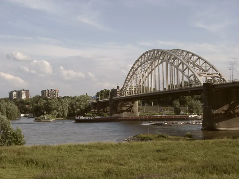 Waalbrug Landmark, Nijmegen Municipality17 km E
-
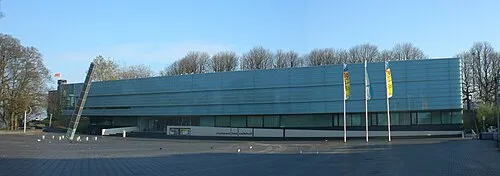 Museum Het Valkhof Museum, Nijmegen Municipality17 km E
-
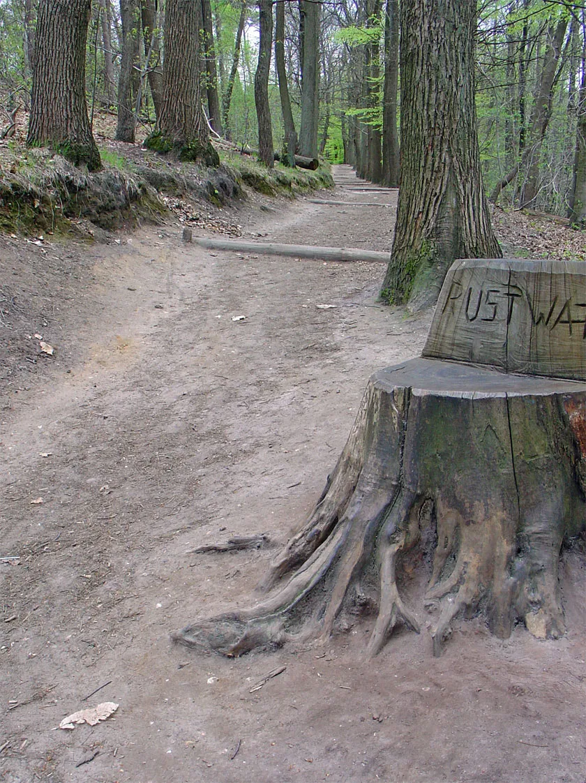 Duivelsberg Mountain, Berg en Dal Municipality22 km E
-
Hooge Langeberg Mountain, Berg en Dal Municipality18 km E
-
Lage Langeberg Mountain, Berg en Dal Municipality18 km E
-
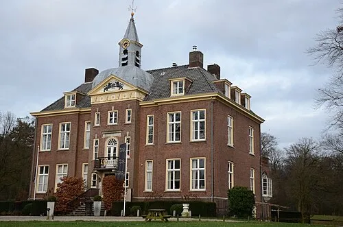 Hoekelum Historic site, Ede Municipality22 km N
Sources & licences
Data last updated: · 2 independent sources