- Elevation
- -1 m
- above sea level
- Local time
- UTC+01:00
- Europe/Amsterdam · UTC+01:00
- Airports
- AMS Amsterdam Airport Schiphol45 km
- RTM Rotterdam The Hague Airport74 km
About Nekkeveld
Nekkeveld is a village. Location: Hoogland Municipality, Gelderland. Elevation: -1 m.
Nekkeveld is a hamlet in the Dutch province of Gelderland. It is a part of the municipality of Nijkerk, and lies about 8 km north of Amersfoort. Nekkeveld is not a statistical entity, and the postal authorities have placed it under Nijkerk. It was first mentioned in 1250 as "in Ekelenvelde", and means field with oak trees. There are no official place name signs, however a farmer has put a sign in its driveway. Nekkeveld consists of about 7 houses.
Source: Wikipedia · CC BY-SA 4.0
Climate of Nekkeveld
Best months for sightseeingBest months for sightseeing: June–August.
This month · November
A cold month
Day 9° · Night 3° · Rain 82 mm
- Hottest month
- August (day 22°)
- Coldest month
- February (night 0°)
- Wettest month
- November (82 mm)
- Driest month
- April (46 mm)
Bars: average monthly low and high temperature. Below: precipitation. Monthly averages for 1970–2000 at about 18 km resolution, adjusted for elevation. Highlighted months are mild and relatively dry. Source: WorldClim 2.1 (CC BY 4.0).
Show values as a table
| Month | Jan | Feb | Mar | Apr | May | Jun | Jul | Aug | Sep | Oct | Nov | Dec |
|---|---|---|---|---|---|---|---|---|---|---|---|---|
| Average high (°C) | 5° | 6° | 9° | 13° | 18° | 20° | 22° | 22° | 19° | 14° | 9° | 6° |
| Average low (°C) | 0° | 0° | 2° | 3° | 7° | 10° | 12° | 12° | 9° | 6° | 3° | 1° |
| Precipitation (mm) | 69 | 51 | 67 | 46 | 59 | 70 | 68 | 59 | 72 | 74 | 82 | 80 |
How to get to Nekkeveld
The nearest airport is Amsterdam Airport Schiphol (AMS), 45 km to the west as the crow flies. The nearest large city is Amersfoort, 10 km to the south.
Airports
- Amsterdam Airport Schiphol (AMS) Amsterdam 45 kmwest
- Rotterdam The Hague Airport (RTM) Rotterdam 74 kmsouthwest
- Weeze (Niederrhein) Airport (NRN) Weeze 87 kmsoutheast
Nearby large cities
- Amersfoort Population: 139.9K 10 kmsouth
- Almere Stad Population: 176.4K 19 kmnorthwest
- Utrecht Population: 376.4K 26 kmsouthwest
- Apeldoorn Population: 136.7K 38 kmeast
- Amsterdam Population: 741.6K 38 kmwest
Straight-line distances; road distances are longer. Airport data: OurAirports.
Day trips from Nekkeveld
Within 100 km: 165 historic and cultural sites, 144 natural sites, 78 lakes, rivers and coasts.
0–25 km28 places
- Zwarte Berg Mountain 25 kmNE
- Zwarte Berg Mountain 18 kmW
- Ullerberg Mountain 20 kmE
- Toverberg Mountain 17 kmE
25–60 km145 places
- Putjensberg Mountain 43 kmNE
- Oude Rijn River 55 kmSE
- Zwarte Berg Mountain 42 kmSE
- Waterplasberg Mountain 46 kmNE
60–100 km214 places
- IJsselmonde Island 74 kmSW
- Wegmeerheide Natural site 99 kmS
- Staatbossen Natural site 99 kmS
- Gouverneurs Bos Natural site 99 kmSW
Straight-line distances.
Nearby attractions & nature
Everything nearby-
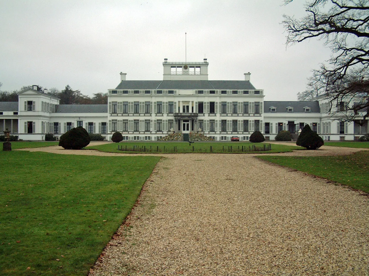 Soestdijk Palace Historic site, Baarn Municipality11 km SW
-
 DierenPark Amersfoort Attraction, Amersfoort Municipality11 km SW
-
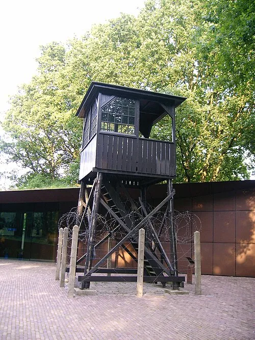 Police Custody Camp Amersfoort Historic site, Amersfoort Municipality9.9 km S
-
Galgenberg Mountain, Amersfoort Municipality12 km S
-
De Soesterberg Mountain, Soest Municipality15 km SW
-
Toverberg Mountain, Gemeente Ermelo17 km E
Sources & licences
Data last updated: · 2 independent sources