Hoogland Municipality
Located in Gelderland, The Netherlands Coordinates: 52°13′01″ N 5°28′59″ E
- Population
- 42,307
- 42.3K
- Elevation
- 2 m
- above sea level
- Local time
- UTC+01:00
- Europe/Amsterdam · UTC+01:00
- Places inside
- 14
- listed under Hoogland Municipality
- Airports
- AMS Amsterdam Airport Schiphol50 km
- RTM Rotterdam The Hague Airport77 km
About Hoogland Municipality
Hoogland Municipality is a district. Location: Gelderland, The Netherlands. Population: 42,307.
Hoogland (Dutch pronunciation: [ˈɦoːxlɑnt]) is a village and former free-standing municipality in the province of Utrecht in the Netherlands. It is located north of the Amersfoort city centre. The village population is 10,587 people (2006). Since 1974, Hoogland has been a part of the municipality of Amersfoort. Until that time, around the 1950s, Hoogland grew vastly in the areas Langenoord and Bieshaar. Nowadays, Hoogland-west is the only outer part of Hoogland which is uncultivated.
Source: Wikipedia · CC BY-SA 4.0
Climate of Hoogland Municipality
Best months for sightseeingBest months for sightseeing: June–August.
This month · November
A cold month
Day 9° · Night 3° · Rain 82 mm
- Hottest month
- August (day 22°)
- Coldest month
- February (night 0°)
- Wettest month
- November (82 mm)
- Driest month
- April (46 mm)
Bars: average monthly low and high temperature. Below: precipitation. Monthly averages for 1970–2000 at about 18 km resolution, adjusted for elevation. Highlighted months are mild and relatively dry. Source: WorldClim 2.1 (CC BY 4.0).
Show values as a table
| Month | Jan | Feb | Mar | Apr | May | Jun | Jul | Aug | Sep | Oct | Nov | Dec |
|---|---|---|---|---|---|---|---|---|---|---|---|---|
| Average high (°C) | 5° | 6° | 9° | 13° | 18° | 20° | 22° | 22° | 19° | 14° | 9° | 6° |
| Average low (°C) | 0° | 0° | 2° | 3° | 7° | 10° | 12° | 12° | 9° | 6° | 3° | 1° |
| Precipitation (mm) | 69 | 51 | 67 | 46 | 59 | 70 | 68 | 59 | 72 | 74 | 82 | 80 |
How to get to Hoogland Municipality
The nearest airport is Amsterdam Airport Schiphol (AMS), 50 km to the west as the crow flies. The nearest large city is Amersfoort, 10 km to the southwest.
Airports
- Amsterdam Airport Schiphol (AMS) Amsterdam 50 kmwest
- Rotterdam The Hague Airport (RTM) Rotterdam 77 kmwest
- Weeze (Niederrhein) Airport (NRN) Weeze 82 kmsoutheast
Nearby large cities
- Amersfoort Population: 139.9K 10 kmsouthwest
- Almere Stad Population: 176.4K 25 kmnorthwest
- Utrecht Population: 376.4K 28 kmsouthwest
- Apeldoorn Population: 136.7K 33 kmeast
- Arnhem Population: 162.4K 39 kmsoutheast
Straight-line distances; road distances are longer. Airport data: OurAirports.
Places in Hoogland Municipality
14 places- 1 Nijkerk 38.3K
- 2 Hoevelaken 9.8K
- 3 Doornsteeg 5.4K
- 4 Nijkerkerveen 2.9K
- 5 Corlaer 2.7K
- 6 Appel 675
- 7 Holkerveen 485
- 8 Slichtenhorst 450
- 9 Kruishaar 310
- 10 Prinsenkamp 305
Bar: population relative to the most populous place in this list.
Cities & villages4
- De Veenhuis · Village
- Driedorp · Village
- Holk · Village
- Nekkeveld · Village
Nearby attractions & nature
Everything nearby-
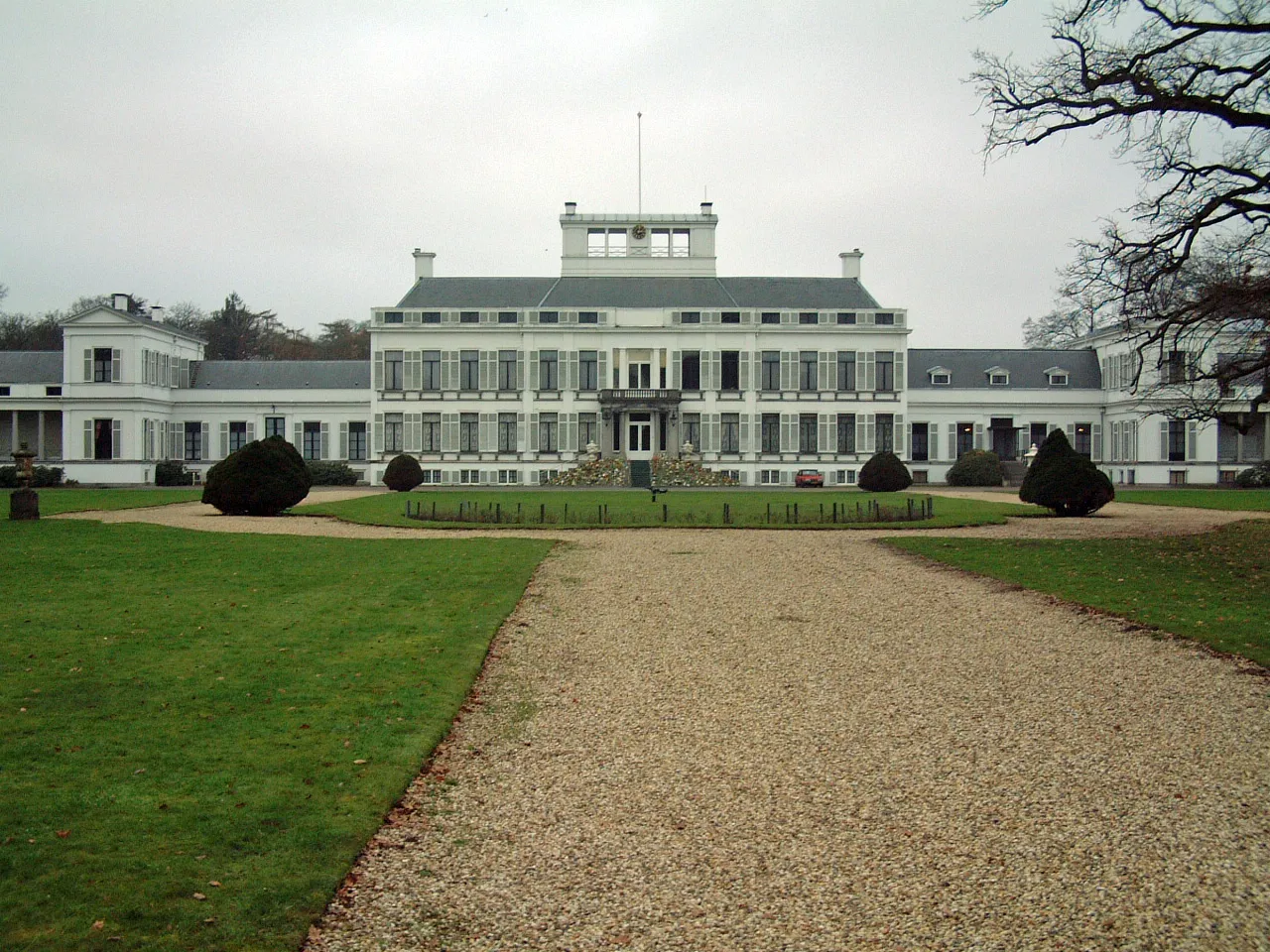 Soestdijk Palace Historic site, Baarn Municipality14 km W
-
 DierenPark Amersfoort Attraction, Amersfoort Municipality12 km SW
-
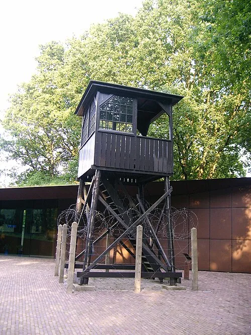 Police Custody Camp Amersfoort Historic site, Amersfoort Municipality9.4 km SW
-
Galgenberg Mountain, Amersfoort Municipality12 km SW
-
Toverberg Mountain, Gemeente Ermelo14 km NE
-
Marthaberg Mountain, Gemeente Ermelo14 km NE
Sources & licences
Data last updated: · 2 independent sources