Gemeente Halderberge
Located in North Brabant, The Netherlands Coordinates: 51°35′21″ N 4°30′21″ E
- Population
- 30,430
- 30.4K
- Elevation
- 1 m
- above sea level
- Local time
- UTC+01:00
- Europe/Amsterdam · UTC+01:00
- Places inside
- 7
- listed under Gemeente Halderberge
About Gemeente Halderberge
Gemeente Halderberge is a district. Location: North Brabant, The Netherlands. Population: 30,430.
In comparison
- Listed here: Village: 5, Town: 2
Places in Gemeente Halderberge
7 places-
Oudenbosch Town13.4K
-
Hoeven Village4.9K
-
Oud Gastel Town5.3K
-
Bosschenhoofd Village1.9K
-
Stampersgat Village1.2K
-
Stoof Village585
-
Kruisstraat Village255
Nearby attractions & nature
Everything nearby-
Roosendaal Concentration Camp Historic site, Roosendaal Municipality6.6 km SW
-
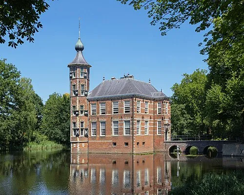 Kasteel Bouvigne Historic site, Breda Municipality19 km E
-
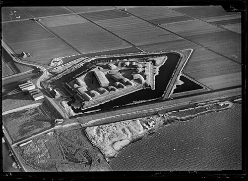 Sabina Henrica Fort Historic site, Moerdijk Municipality12 km NW
-
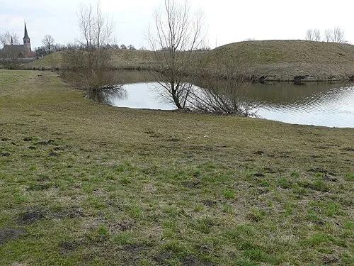 Kleine Schans Historic site, Drimmelen Municipality18 km E
-
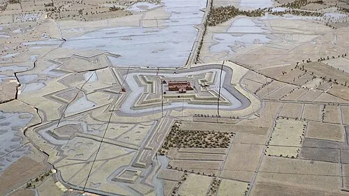 Fort de Roovere Historic site, Bergen op Zoom Municipality16 km SW
-
Essen Duinen Natural site, Antwerp Province13 km S
Sources & licences
Data last updated: