Roosendaal Municipality
Located in North Brabant, The Netherlands Coordinates: 51°30′41″ N 4°25′21″ E
- Population
- 77,200
- 77.2K
- Elevation
- 6 m
- above sea level
- Local time
- UTC+01:00
- Europe/Amsterdam · UTC+01:00
- Places inside
- 16
- listed under Roosendaal Municipality
- Airports
- ANR Antwerp International Airport (Deurne)36 km
- RTM Rotterdam The Hague Airport50 km
About Roosendaal Municipality
Roosendaal Municipality is a district. Location: North Brabant, The Netherlands. Population: 77,200. The best months to visit are June–August. The nearest airport is Antwerp International Airport (Deurne) (36 km). Nearby sights include Fort de Roovere and Steertse Duinen.
Climate of Roosendaal Municipality
Best months for sightseeingBest months for sightseeing: June–August.
This month · November
A cold month
Day 10° · Night 4° · Rain 80 mm
- Hottest month
- August (day 23°)
- Coldest month
- February (night 0°)
- Wettest month
- November (80 mm)
- Driest month
- April (47 mm)
Bars: average monthly low and high temperature. Below: precipitation. Monthly averages for 1970–2000 at about 18 km resolution, adjusted for elevation. Highlighted months are mild and relatively dry. Source: WorldClim 2.1 (CC BY 4.0).
Show values as a table
| Month | Jan | Feb | Mar | Apr | May | Jun | Jul | Aug | Sep | Oct | Nov | Dec |
|---|---|---|---|---|---|---|---|---|---|---|---|---|
| Average high (°C) | 6° | 6° | 10° | 13° | 18° | 20° | 22° | 23° | 19° | 15° | 10° | 7° |
| Average low (°C) | 1° | 0° | 3° | 4° | 8° | 11° | 13° | 13° | 10° | 7° | 4° | 2° |
| Precipitation (mm) | 63 | 49 | 62 | 47 | 54 | 71 | 74 | 61 | 78 | 77 | 80 | 75 |
How to get to Roosendaal Municipality
The nearest airport is Antwerp International Airport (Deurne) (ANR), 36 km to the south as the crow flies. For international flights: Rotterdam The Hague Airport (RTM) (50 km). The nearest large city is Breda, 26 km to the east.
Airports
- Antwerp International Airport (Deurne) (ANR) Antwerp 36 kmsouth
- Rotterdam The Hague Airport (RTM) Rotterdam 50 kmnorth
- Eindhoven Airport (EIN) Eindhoven 66 kmeast
Nearby large cities
- Breda Population: 184.1K 26 kmeast
- Antwerp Population: 529.2K 32 kmsouth
- Dordrecht Population: 119.3K 37 kmnortheast
- Rotterdam Population: 868.1K 46 kmnorth
- Tilburg Population: 221.9K 47 kmeast
Straight-line distances; road distances are longer. Airport data: OurAirports.
Places in Roosendaal Municipality
16 places- 1 Roosendaal 77.7K
- 2 Wouw 4.6K
- 3 Kalsdonk 4.2K
- 4 Heerle 1.3K
- 5 Nispen 1.2K
- 6 Hulsdonk 980
- 7 Wouwse Plantage 590
- 8 Moerstraten 390
- 9 Vroenhout 340
- 10 Nieuwenberg 255
- 11 Vijfhuizenberg 205
- 12 Haiink 170
- 13 Borteldonk 155
Bar: population relative to the most populous place in this list.
Cities & villages2
- Kruisstraat · Village
- Plantage Centrum · Village
Heritage & sights1
- Roosendaal Concentration Camp · Historic site
Nearby attractions & nature
Everything nearby-
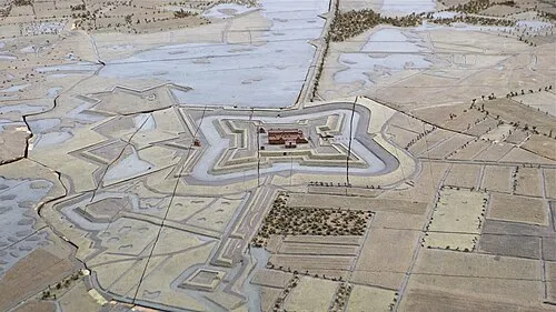 Fort de Roovere Historic site, Bergen op Zoom Municipality8.8 km W
-
Steertse Duinen Natural site, Antwerp Province11 km S
-
Essen Duinen Natural site, Antwerp Province9 km SE
-
Nolse Duinen Natural site, Antwerp Province11 km S
-
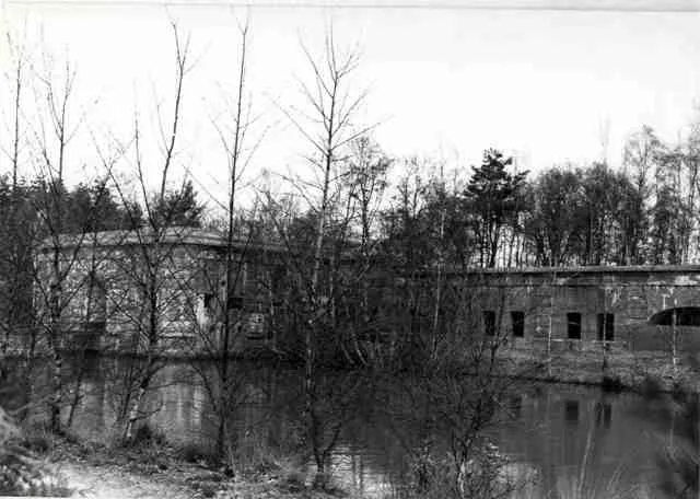 Fort van Ertbrand Historic site, Kapellen18 km S
-
Vossenbergduinen Natural site, Antwerp Province13 km S
Sources & licences
Data last updated: