Roosendaal
Located in Roosendaal Municipality, North Brabant Coordinates: 51°31′51″ N 4°27′55″ E
- Population
- 77,725
- 77.7K
- Elevation
- 4 m
- above sea level
- Local time
- UTC+01:00
- Europe/Amsterdam · UTC+01:00
- Airports
- ANR Antwerp International Airport (Deurne)38 km
- RTM Rotterdam The Hague Airport47 km
About Roosendaal
Roosendaal is a town. Location: Roosendaal Municipality, North Brabant. Population: 77,725. Elevation: 4 m. The best months to visit are June–August. The nearest airport is Antwerp International Airport (Deurne) (38 km). Nearby sights include Roosendaal Concentration Camp and Essen Duinen.
Climate of Roosendaal
Best months for sightseeingBest months for sightseeing: June–August.
This month · November
A cold month
Day 10° · Night 4° · Rain 80 mm
- Hottest month
- August (day 23°)
- Coldest month
- February (night 0°)
- Wettest month
- November (80 mm)
- Driest month
- April (47 mm)
Bars: average monthly low and high temperature. Below: precipitation. Monthly averages for 1970–2000 at about 18 km resolution, adjusted for elevation. Highlighted months are mild and relatively dry. Source: WorldClim 2.1 (CC BY 4.0).
Show values as a table
| Month | Jan | Feb | Mar | Apr | May | Jun | Jul | Aug | Sep | Oct | Nov | Dec |
|---|---|---|---|---|---|---|---|---|---|---|---|---|
| Average high (°C) | 6° | 6° | 10° | 13° | 18° | 20° | 22° | 23° | 19° | 15° | 10° | 7° |
| Average low (°C) | 1° | 0° | 3° | 4° | 8° | 11° | 13° | 13° | 10° | 7° | 4° | 2° |
| Precipitation (mm) | 63 | 49 | 62 | 47 | 54 | 71 | 74 | 61 | 78 | 77 | 80 | 75 |
How to get to Roosendaal
The nearest airport is Antwerp International Airport (Deurne) (ANR), 38 km to the south as the crow flies. For international flights: Rotterdam The Hague Airport (RTM) (47 km). The nearest large city is Breda, 22 km to the east.
Airports
- Antwerp International Airport (Deurne) (ANR) Antwerp 38 kmsouth
- Rotterdam The Hague Airport (RTM) Rotterdam 47 kmnorth
- Eindhoven Airport (EIN) Eindhoven 64 kmeast
Nearby large cities
- Breda Population: 184.1K 22 kmeast
- Dordrecht Population: 119.3K 34 kmnortheast
- Antwerp Population: 529.2K 35 kmsouth
- Tilburg Population: 221.9K 44 kmeast
- Rotterdam Population: 868.1K 44 kmnorth
Straight-line distances; road distances are longer. Airport data: OurAirports.
Day trips from Roosendaal
Within 100 km: 259 historic and cultural sites, 328 natural sites, 706 lakes, rivers and coasts.
0–25 km49 places
- Putse Moer Lake 17 kmS
- Stappensven Lake 14 kmS
- Wolvenbos Natural site 22 kmS
- Steenhovens Natural site 22 kmS
25–60 km321 places
- IJsselmonde Island 38 kmN
- Het Eiland Island 50 kmSW
- Kleine Weel Lake 34 kmSW
- Grote Weel Lake 34 kmSW
60–100 km923 places
- Knokke-Strand Beach 84 kmW
- Hofstademeer Lake 61 kmS
- Vijvers van Bellefroid Lake 71 kmS
- Wijngaardberg Mountain 68 kmS
Straight-line distances.
Roosendaal and similar cities
Side by side with cities of similar size in the same country: population, elevation and climate.
| Measure | Roosendaal | Lelystad | Hengelo | Assen |
|---|---|---|---|---|
| Population | 77.7K | 79.8K | 82.3K | 68.8K |
| Elevation | 4 m | -1 m | 18 m | 12 m |
| Summer day (hottest month) | 23° | 22° | 23° | 22° |
| Winter night (coldest month) | 0° | 1° | -1° | -1° |
| Annual rainfall | 791 mm | 803 mm | 777 mm | 829 mm |
| Best months | Jun–Aug | Jun–Aug | Jun–Aug | Jun–Aug |
| Distance | — | 129 km | 180 km | 217 km |
Climate values are 1970–2000 monthly averages; straight-line distance.
Nearby attractions & nature
Everything nearby-
Roosendaal Concentration Camp Historic site, Roosendaal Municipality0.6 km N
-
Essen Duinen Natural site, Antwerp Province8.2 km SE
-
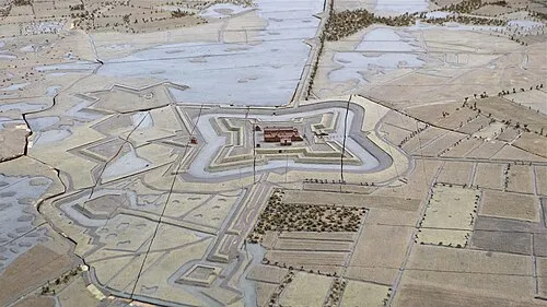 Fort de Roovere Historic site, Bergen op Zoom Municipality12 km W
-
Steertse Duinen Natural site, Antwerp Province13 km S
-
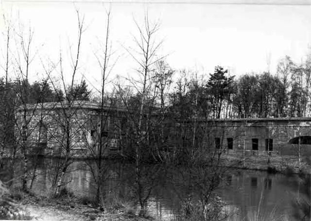 Fort van Ertbrand Historic site, Kapellen21 km S
-
Nolse Duinen Natural site, Antwerp Province13 km S
-
Kraaienberg Mountain, Gemeente Woensdrecht17 km S
-
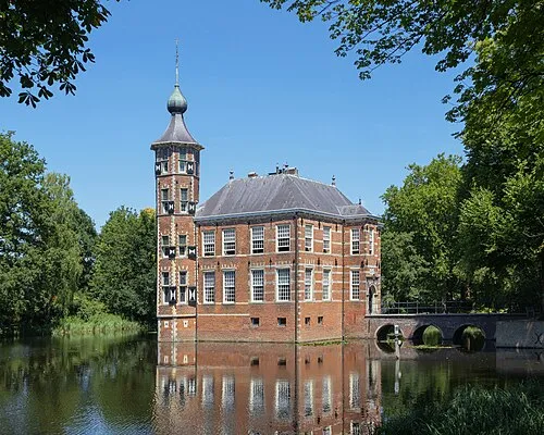 Kasteel Bouvigne Historic site, Breda Municipality22 km E
Sources & licences
Data last updated: