Stad aan 't Haringvliet
Located in Gemeente Goeree-Overflakkee, South Holland Coordinates: 51°44′21″ N 4°14′30″ E

- Population
- 1,323
- 1.3K
- Elevation
- 0 m
- above sea level
- Local time
- UTC+01:00
- Europe/Amsterdam · UTC+01:00
- Airports
- RTM Rotterdam The Hague Airport28 km
- ANR Antwerp International Airport (Deurne)63 km
About Stad aan 't Haringvliet
Stad aan 't Haringvliet is a village. Location: Gemeente Goeree-Overflakkee, South Holland. Population: 1,323. Elevation: 0 m.
Stad aan 't Haringvliet is a village in the Dutch province of South Holland. It is a part of the municipality of Goeree-Overflakkee, and lies about 12 km southeast of Hellevoetsluis. The name means City on the Haringvliet. From 1812 to 1817 it was part of the municipality of Den Bommel, then it was a separate municipality until 1966 when it was merged with Middelharnis. Last one has made part of the new municipality of Goeree-Overflakkee since 2013.
Source: Wikipedia · CC BY-SA 4.0
Photos of Stad aan 't Haringvliet
-

United Kingdom Hydrographic Office · Public domain

Population of Stad aan 't Haringvliet over time
| 1830 | 688 | |
|---|---|---|
| 1840 | 882 | |
| 1849 | 904 | |
| 1859 | 1,052 | |
| 1869 | 1,050 | |
| 1879 | 1,199 | |
| 1889 | 1,008 | |
| 1909 | 1,085 | |
| 1920 | 1,065 | |
| 1930 | 1,186 | |
| 1947 | 1,268 | |
| 1960 | 1,323 |
Censuses and official estimates; source: Wikidata.
Climate of Stad aan 't Haringvliet
Best months for sightseeingBest months for sightseeing: June–August.
This month · November
A cold month
Day 10° · Night 4° · Rain 88 mm
- Hottest month
- August (day 22°)
- Coldest month
- February (night 1°)
- Wettest month
- November (88 mm)
- Driest month
- April (44 mm)
Bars: average monthly low and high temperature. Below: precipitation. Monthly averages for 1970–2000 at about 18 km resolution, adjusted for elevation. Highlighted months are mild and relatively dry. Source: WorldClim 2.1 (CC BY 4.0).
Show values as a table
| Month | Jan | Feb | Mar | Apr | May | Jun | Jul | Aug | Sep | Oct | Nov | Dec |
|---|---|---|---|---|---|---|---|---|---|---|---|---|
| Average high (°C) | 6° | 6° | 9° | 12° | 17° | 19° | 21° | 22° | 18° | 14° | 10° | 7° |
| Average low (°C) | 1° | 1° | 3° | 4° | 8° | 11° | 13° | 13° | 11° | 8° | 4° | 2° |
| Precipitation (mm) | 65 | 50 | 63 | 44 | 51 | 70 | 73 | 62 | 82 | 83 | 88 | 76 |
How to get to Stad aan 't Haringvliet
The nearest airport is Rotterdam The Hague Airport (RTM), 28 km to the northeast as the crow flies. The nearest large city is Rotterdam, 26 km to the northeast.
Airports
- Rotterdam The Hague Airport (RTM) Rotterdam 28 kmnortheast
- Antwerp International Airport (Deurne) (ANR) Antwerp 63 kmsouth
- Amsterdam Airport Schiphol (AMS) Amsterdam 73 kmnortheast
Nearby large cities
- Rotterdam Population: 868.1K 26 kmnortheast
- Dordrecht Population: 119.3K 31 kmeast
- The Hague Population: 474.3K 38 kmnorth
- Zoetermeer Population: 115.8K 39 kmnortheast
- Breda Population: 184.1K 41 kmsoutheast
Straight-line distances; road distances are longer. Airport data: OurAirports.
Day trips from Stad aan 't Haringvliet
Within 100 km: 216 historic and cultural sites, 182 natural sites, 375 lakes, rivers and coasts.
0–25 km9 places
- IJsselmonde Island 24 kmNE
- Badstrand Rockanje Beach 20 kmNW
- Sabina Henrica Fort Historic site 13 kmSE
- Fort de Roovere Historic site 24 kmS
25–60 km148 places
- Putse Moer Lake 42 kmS
- Stappensven Lake 39 kmS
- Kleine Weel Lake 51 kmS
- Grote Weel Lake 51 kmS
60–100 km616 places
- Knokke-Strand Beach 79 kmSW
- Het Eiland Island 62 kmS
- Hofstademeer Lake 86 kmS
- Vijvers van Bellefroid Lake 98 kmS
Straight-line distances.
Nearby attractions & nature
Everything nearby-
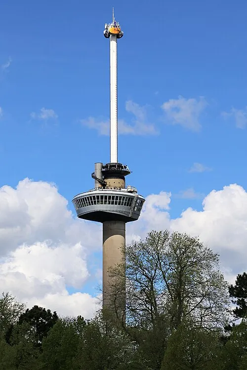 Euromast Landmark, Rotterdam Municipality24 km NE
-
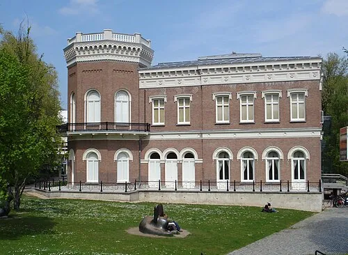 Natuurhistorisch Museum Rotterdam Museum, Rotterdam Municipality25 km NE
-
Haringvlietbrug Landmark, The Netherlands11 km E
-
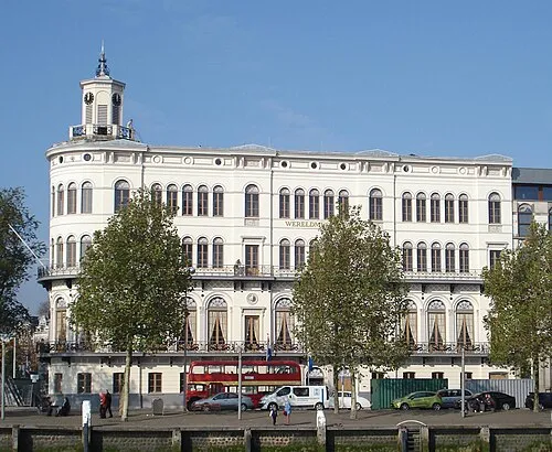 Wereldmuseum Rotterdam Museum, Rotterdam Municipality25 km NE
-
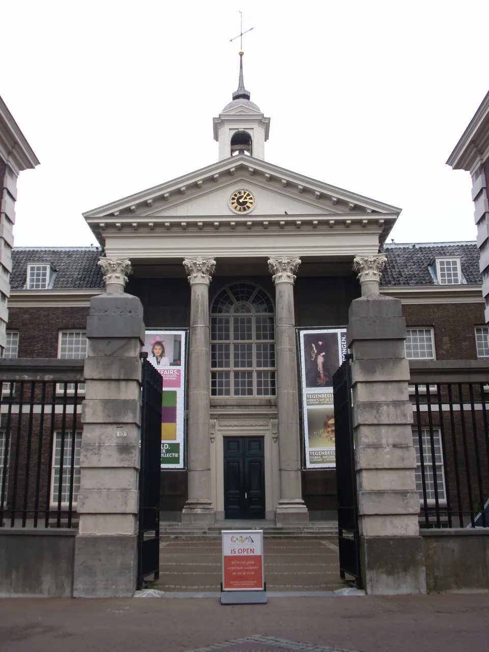 Stedelijk Museum Schiedam Museum, Schiedam Municipality22 km NE
-
IJsselmonde Island, South Holland24 km NE
Other cities and towns in Gemeente Goeree-Overflakkee
-
 Ooltgensplaat Village, Gemeente Goeree-Overflakkee9.5 km SE
-
 Dirksland Village, Gemeente Goeree-Overflakkee9.8 km W
-
 Herkingen Village, Gemeente Goeree-Overflakkee11 km W
-
Melissant Village, Gemeente Goeree-Overflakkee12 km W
-
 Achthuizen Village, Gemeente Goeree-Overflakkee6.2 km SE
-
 Stellendam Village, Gemeente Goeree-Overflakkee17 km NW
Sources & licences
Data last updated: · 2 independent sources