Numansdorp
Located in Hoeksche Waard, South Holland Coordinates: 51°43′54″ N 4°26′15″ E
- Population
- 4,280
- 4.3K
- Elevation
- -1 m
- above sea level
- Local time
- UTC+01:00
- Europe/Amsterdam · UTC+01:00
About Numansdorp
Numansdorp is a village. Location: Hoeksche Waard, South Holland. Population: 4,280. Elevation: -1 m.
Numansdorp is a town and former municipality in the province South Holland in the Netherlands and is located on the island Hoeksche Waard near the Hollands Diep. On 1 January 1984, the municipalities Numansdorp and Klaaswaal were merged into one municipality called Cromstrijen. Cromstrijen was merged into the new municipality Hoeksche Waard in January 2019.
Read more on Wikipedia Text: Wikipedia contributors · CC BY-SA 4.0 · shortened
At a glance
- Area
- 39.9 km²
Source: Wikidata
In comparison
- No. 5 of 25 places in Hoeksche Waard by population
- Nearest larger town: Strijen, 8 km E
- 2 sights and natural places within 10 km Haringvlietbrug, Sabina Henrica Fort
Airports nearest to Numansdorp
- Rotterdam The Hague Airport (RTM) Rotterdam 25 km
- Antwerp International Airport (Deurne) (ANR) Antwerp 60 km
- Amsterdam Airport Schiphol (AMS) Amsterdam 68 km
Straight-line distance; airports with scheduled flights only. Source: OurAirports (public domain).
Nearby attractions & nature
Everything nearby-
Haringvlietbrug Landmark, The Netherlands3 km SW
-
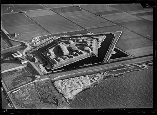 Sabina Henrica Fort Historic site, Moerdijk Municipality6.7 km SW
-
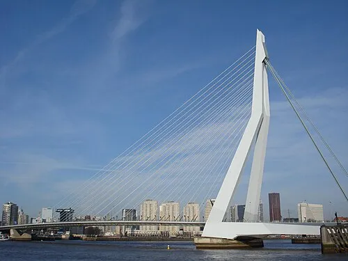 Erasmusbrug Landmark, Rotterdam Municipality20 km N
-
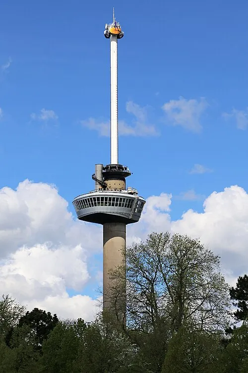 Euromast Landmark, Rotterdam Municipality19 km N
-
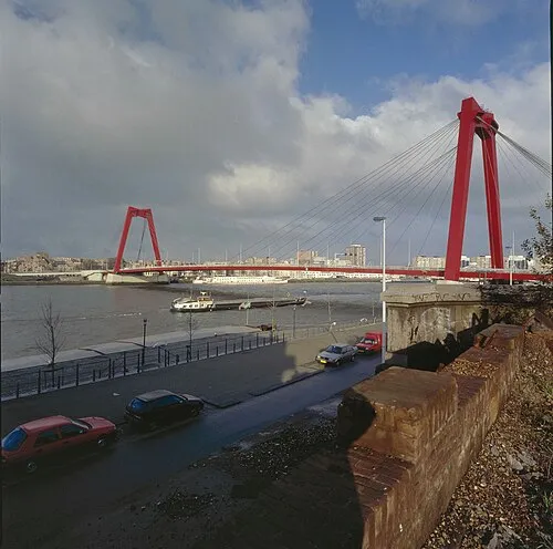 Willemsbrug Landmark, Rotterdam Municipality21 km N
-
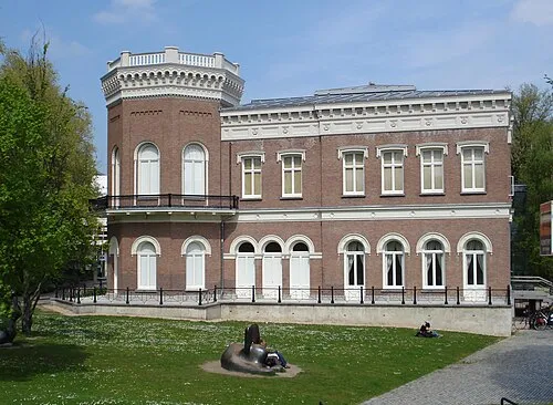 Natuurhistorisch Museum Rotterdam Museum, Rotterdam Municipality20 km N
Sources & licences
Data last updated: · 2 independent sources