- Elevation
- -2 m
- above sea level
- Local time
- UTC+01:00
- Europe/Amsterdam · UTC+01:00
- Airports
- RTM Rotterdam The Hague Airport29 km
- AMS Amsterdam Airport Schiphol48 km
About Vuilendam
Vuilendam is a village. Location: Molenlanden, South Holland. Elevation: -2 m.
Vuilendam is a hamlet in Molenlanden, which is a municipality in the Dutch province of South Holland. Vuilendam lies between Molenaarsgraaf and Ottoland.
Source: Wikipedia · CC BY-SA 4.0
Climate of Vuilendam
Best months for sightseeingBest months for sightseeing: June–August.
This month · November
A cold month
Day 9° · Night 3° · Rain 82 mm
- Hottest month
- August (day 22°)
- Coldest month
- February (night 0°)
- Wettest month
- November (82 mm)
- Driest month
- April (47 mm)
Bars: average monthly low and high temperature. Below: precipitation. Monthly averages for 1970–2000 at about 18 km resolution, adjusted for elevation. Highlighted months are mild and relatively dry. Source: WorldClim 2.1 (CC BY 4.0).
Show values as a table
| Month | Jan | Feb | Mar | Apr | May | Jun | Jul | Aug | Sep | Oct | Nov | Dec |
|---|---|---|---|---|---|---|---|---|---|---|---|---|
| Average high (°C) | 6° | 6° | 9° | 12° | 17° | 20° | 22° | 22° | 19° | 14° | 9° | 7° |
| Average low (°C) | 0° | 0° | 2° | 4° | 7° | 10° | 12° | 12° | 10° | 7° | 3° | 1° |
| Precipitation (mm) | 69 | 51 | 69 | 47 | 60 | 70 | 70 | 56 | 72 | 77 | 82 | 77 |
How to get to Vuilendam
The nearest airport is Rotterdam The Hague Airport (RTM), 29 km to the west as the crow flies. The nearest large city is Dordrecht, 14 km to the southwest.
Airports
- Rotterdam The Hague Airport (RTM) Rotterdam 29 kmwest
- Amsterdam Airport Schiphol (AMS) Amsterdam 48 kmnorth
- Eindhoven Airport (EIN) Eindhoven 61 kmsoutheast
Nearby large cities
- Dordrecht Population: 119.3K 14 kmsouthwest
- Rotterdam Population: 868.1K 26 kmwest
- Utrecht Population: 376.4K 30 kmnortheast
- Zoetermeer Population: 115.8K 31 kmnorthwest
- Breda Population: 184.1K 33 kmsouth
Straight-line distances; road distances are longer. Airport data: OurAirports.
Day trips from Vuilendam
Within 100 km: 214 historic and cultural sites, 233 natural sites, 258 lakes, rivers and coasts.
0–25 km9 places
- IJsselmonde Island 23 kmW
- Eiland van Brienenoord Island 21 kmW
- Kasteel Dussen Historic site 19 kmSE
- Slot Honingen Historic site 23 kmW
25–60 km162 places
- Stappensven Lake 60 kmSW
- Wegmeerheide Natural site 54 kmS
- Staatbossen Natural site 57 kmS
- Hassel Bos Natural site 53 kmS
60–100 km534 places
- Putjensberg Mountain 97 kmNE
- Het Eiland Island 97 kmSW
- Putse Moer Lake 63 kmSW
- Kleine Weel Lake 81 kmSW
Straight-line distances.
Nearby attractions & nature
Everything nearby-
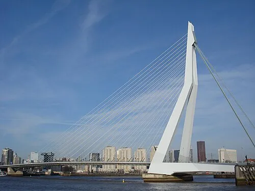 Erasmusbrug Landmark, Rotterdam Municipality25 km W
-
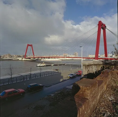 Willemsbrug Landmark, Rotterdam Municipality24 km W
-
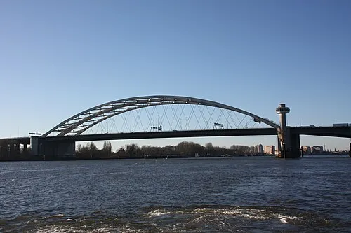 Van Brienenoordbrug Landmark, Rotterdam Municipality21 km W
-
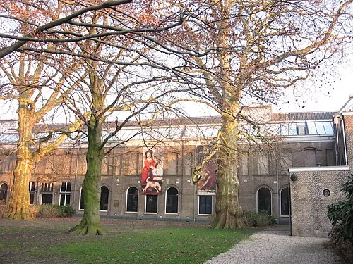 Dordrechts Museum Museum, Dordrecht Municipality14 km SW
-
IJsselmonde Island, South Holland23 km W
-
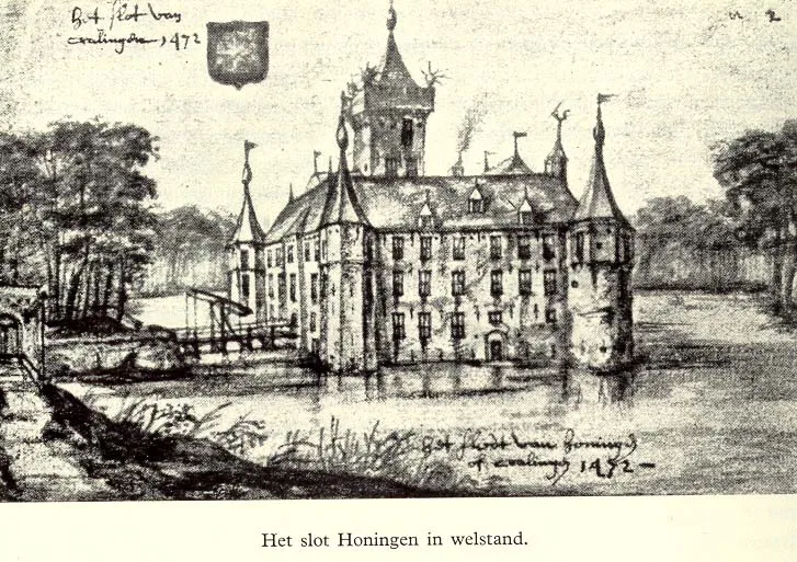 Slot Honingen Historic site, Rotterdam Municipality23 km W
Sources & licences
Data last updated: · 2 independent sources