Willige Langerak
Located in Gemeente Lopik, Utrecht Coordinates: 51°56′39″ N 4°52′45″ E
- Elevation
- -1 m
- above sea level
- Local time
- UTC+01:00
- Europe/Amsterdam · UTC+01:00
About Willige Langerak
Willige Langerak is a village. Location: Gemeente Lopik, Utrecht. Elevation: -1 m.
Willige Langerak is a hamlet in the Dutch provinces of South Holland and Utrecht. It is located in the municipalities of Krimpenerwaard and Lopik, just east of Schoonhoven. Willige Langerak was a separate municipality in the province of Utrecht between 1818 and 1943, when its largest portion was merged with Lopik in the province of Utrecht and a smaller portion (the church and its surroundings) was added to Schoonhoven in South Holland.
Read more on Wikipedia Text: Wikipedia contributors · CC BY-SA 4.0 · shortened
In comparison
Airports nearest to Willige Langerak
- Rotterdam The Hague Airport (RTM) Rotterdam 30 km
- Amsterdam Airport Schiphol (AMS) Amsterdam 41 km
- Eindhoven Airport (EIN) Eindhoven 65 km
Straight-line distance; airports with scheduled flights only. Source: OurAirports (public domain).
Nearby attractions & nature
Everything nearby-
 Museum Catharijneconvent Museum, Gemeente Utrecht23 km NE
-
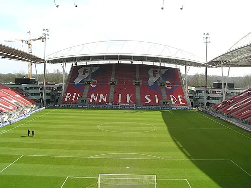 Stadion Galgenwaard Landmark, Gemeente Utrecht24 km NE
-
 Jacobikerk Attraction, Gemeente Utrecht23 km NE
-
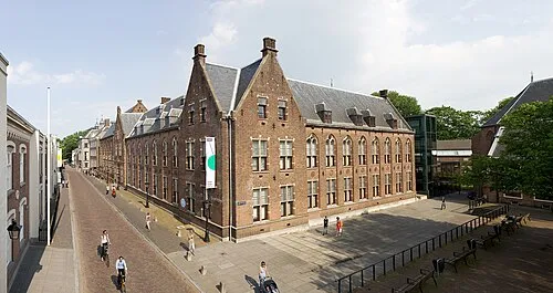 Centraal Museum Museum, Gemeente Utrecht23 km NE
-
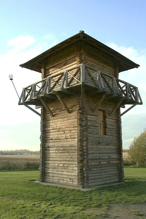 Fectio Historic site, Bunnik Municipality23 km NE
-
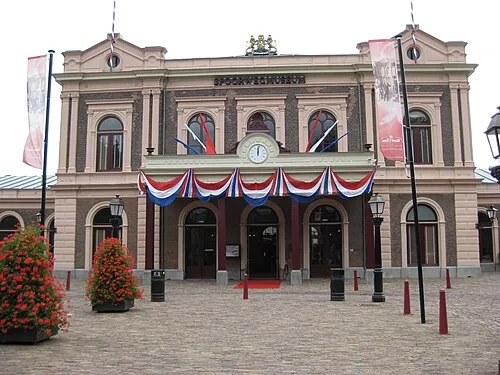 Het Spoorwegmuseum Museum, Gemeente Utrecht24 km NE
Sources & licences
Data last updated: · 2 independent sources