- Population
- 530
- 530
- Elevation
- 2 m
- above sea level
- Local time
- UTC+01:00
- Europe/Amsterdam · UTC+01:00
- Airports
- AMS Amsterdam Airport Schiphol40 km
- RTM Rotterdam The Hague Airport42 km
About Lopikerkapel
Lopikerkapel is a village. Location: Gemeente Lopik, Utrecht. Population: 530. Elevation: 2 m.
Lopikerkapel is a village in the Dutch province of Utrecht. It is a part of the municipality of Lopik, and lies about 3 km south of IJsselstein. The village has a small centre, with a church, but mostly consists of a ribbon of farms on both sides of the Enge IJssel river. The name Lopikerkapel means "Lopik's chapel".
Source: Wikipedia · CC BY-SA 4.0
Photos of Lopikerkapel
-
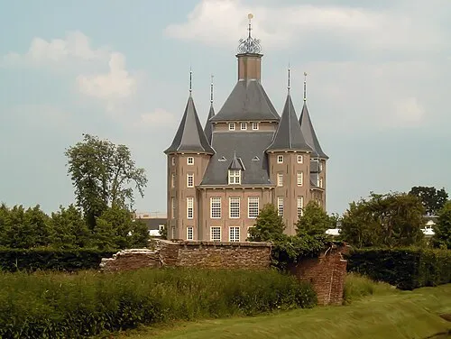
Kasteel Heemstede Michielverbeek · CC BY-SA 3.0

Climate of Lopikerkapel
Best months for sightseeingBest months for sightseeing: June–August.
This month · November
A cold month
Day 9° · Night 3° · Rain 78 mm
- Hottest month
- August (day 22°)
- Coldest month
- February (night 0°)
- Wettest month
- November (78 mm)
- Driest month
- April (45 mm)
Bars: average monthly low and high temperature. Below: precipitation. Monthly averages for 1970–2000 at about 18 km resolution, adjusted for elevation. Highlighted months are mild and relatively dry. Source: WorldClim 2.1 (CC BY 4.0).
Show values as a table
| Month | Jan | Feb | Mar | Apr | May | Jun | Jul | Aug | Sep | Oct | Nov | Dec |
|---|---|---|---|---|---|---|---|---|---|---|---|---|
| Average high (°C) | 6° | 6° | 9° | 13° | 17° | 20° | 22° | 22° | 19° | 14° | 9° | 7° |
| Average low (°C) | 0° | 0° | 2° | 4° | 7° | 10° | 12° | 12° | 10° | 6° | 3° | 1° |
| Precipitation (mm) | 67 | 49 | 66 | 45 | 60 | 69 | 69 | 55 | 71 | 73 | 78 | 74 |
How to get to Lopikerkapel
The nearest airport is Amsterdam Airport Schiphol (AMS), 40 km to the northwest as the crow flies. The nearest large city is Utrecht, 12 km to the northeast.
Airports
- Amsterdam Airport Schiphol (AMS) Amsterdam 40 kmnorthwest
- Rotterdam The Hague Airport (RTM) Rotterdam 42 kmwest
- Eindhoven Airport (EIN) Eindhoven 64 kmsouth
Nearby large cities
- Utrecht Population: 376.4K 12 kmnortheast
- Amersfoort Population: 139.9K 30 kmnortheast
- Dordrecht Population: 119.3K 33 kmsouthwest
- 's-Hertogenbosch Population: 160.8K 37 kmsoutheast
- Zoetermeer Population: 115.8K 39 kmwest
Straight-line distances; road distances are longer. Airport data: OurAirports.
Day trips from Lopikerkapel
Within 100 km: 191 historic and cultural sites, 200 natural sites, 169 lakes, rivers and coasts.
0–25 km18 places
- Zwarte Berg Mountain 24 kmN
- Hoorneboeg Mountain 24 kmN
- De Soesterberg Mountain 23 kmNE
- Jacobikerk Attraction 12 kmN
25–60 km143 places
- IJsselmonde Island 39 kmW
- Poppelsche Leij River 53 kmS
- Leijloop River 58 kmS
- Heerlese Loop River 59 kmS
60–100 km399 places
- Putjensberg Mountain 79 kmNE
- Putse Moer Lake 80 kmSW
- Stappensven Lake 77 kmSW
- Kleine Weel Lake 99 kmSW
Straight-line distances.
Nearby attractions & nature
Everything nearby-
Kasteel Heemstede Historic site, Gemeente Houten7.1 km NE
-
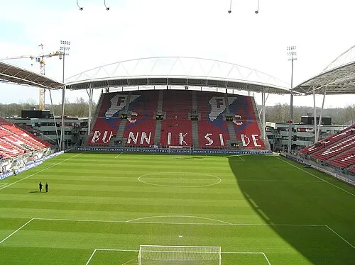 Stadion Galgenwaard Landmark, Gemeente Utrecht12 km NE
-
 Museum Catharijneconvent Museum, Gemeente Utrecht12 km NE
-
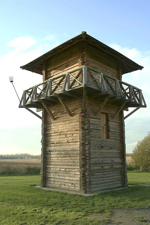 Fectio Historic site, Bunnik Municipality11 km NE
-
 Jacobikerk Attraction, Gemeente Utrecht12 km N
-
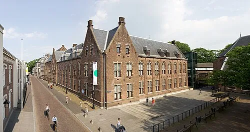 Centraal Museum Museum, Gemeente Utrecht12 km NE
Sources & licences
Data last updated: · 2 independent sources