Hoofdplaat
Located in Sluis Municipality, Zeeland Coordinates: 51°22′09″ N 3°39′45″ E
- Population
- 545
- 545
- Elevation
- 2 m
- above sea level
- Local time
- UTC+01:00
- Europe/Amsterdam · UTC+01:00
About Hoofdplaat
Hoofdplaat is a village. Location: Sluis Municipality, Zeeland. Population: 545. Elevation: 2 m.
Hoofdplaat is a village in the Dutch province of Zeeland. It is located on the Westerschelde, about 7 km east of Breskens, in the municipality of Sluis.
Read more on Wikipedia Text: Wikipedia contributors · CC BY-SA 4.0 · shortened
In comparison
- No. 8 of 17 places in Sluis Municipality by population
- Nearest larger town: IJzendijke, 6 km SW
Nearby attractions & nature
Everything nearby-
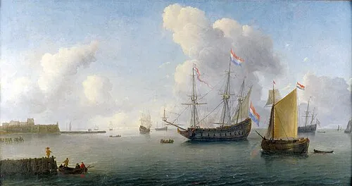 Fort Rammekens Historic site, Gemeente Vlissingen9.3 km N
-
Ellewoutsdijk Fort Historic site, Borsele Municipality11 km E
-
Soelekerkplaat Mountain, Veere Municipality19 km N
-
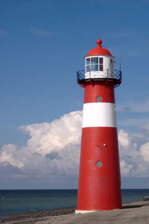 Noorderhoofd Landmark, Veere Municipality25 km NW
-
Aardbeieneiland Island, Gemeente Middelburg18 km N
-
Doodhoekbeek River, East Flanders14 km S
Sources & licences
Data last updated: · 2 independent sources