- Population
- 120
- 120
- Elevation
- 2 m
- above sea level
- Local time
- UTC+01:00
- Europe/Amsterdam · UTC+01:00
- Airports
- OST Ostend-Bruges International Airport44 km
- ANR Antwerp International Airport (Deurne)68 km
About Sint Kruis
Sint Kruis is a village. Location: Sluis Municipality, Zeeland. Population: 120. Elevation: 2 m.
Sint Kruis is a village in the Dutch province of Zeeland. It is located about 4 km east of Aardenburg, in the municipality of Sluis. The village was first mentioned in 1270 as "jndie prochia van sint crues", and refers to the Holy Cross parish of the Saint Bavo's Abbey in Ghent. The Dutch Reformed church is a three-aisled church which probably dates from the 14th century. The area around Sint Kruis was inundated in 1584 to thwart the progress of the Spanish Army.
Read more on Wikipedia Text: Wikipedia contributors · CC BY-SA 4.0 · shortened
In comparison
- No. 16 of 17 places in Sluis Municipality by population
- Nearest larger town: Sint-Margriete, 4 km E
- 3 sights and natural places within 10 km Molenkreek, Eede
Climate of Sint Kruis
Best months for sightseeingBest months for sightseeing: June–August.
Bars: average monthly low and high temperature. Below: precipitation. Monthly averages for 1970–2000 at about 18 km resolution, adjusted for elevation. Highlighted months are mild and relatively dry. Source: WorldClim 2.1 (CC BY 4.0).
Show values as a table
| Month | Jan | Feb | Mar | Apr | May | Jun | Jul | Aug | Sep | Oct | Nov | Dec |
|---|---|---|---|---|---|---|---|---|---|---|---|---|
| Average high (°C) | 6° | 7° | 10° | 13° | 17° | 19° | 21° | 22° | 19° | 15° | 10° | 7° |
| Average low (°C) | 1° | 1° | 3° | 5° | 9° | 11° | 13° | 13° | 11° | 8° | 5° | 3° |
| Precipitation (mm) | 67 | 49 | 59 | 47 | 58 | 70 | 65 | 59 | 77 | 84 | 85 | 78 |
Airports nearest to Sint Kruis
- Ostend-Bruges International Airport (OST) Oostende 44 km
- Antwerp International Airport (Deurne) (ANR) Antwerp 68 km
- Brussels Airport (BRU) Zaventem 80 km
Straight-line distance; airports with scheduled flights only. Source: OurAirports (public domain).
Nearby attractions & nature
Everything nearby-
Molenkreek River, East Flanders3.8 km E
-
Eede River, East Flanders6.3 km SW
-
Verloren-Kreek River, East Flanders7.3 km W
-
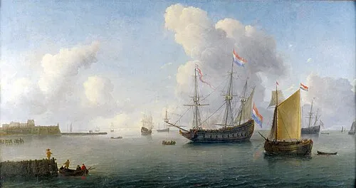 Fort Rammekens Historic site, Gemeente Vlissingen23 km NE
-
Wittemoerwatergang River, Flemish Region11 km SW
-
Kallekensveldbos Natural site, East Flanders12 km SW
Sources & licences
Data last updated: · 2 independent sources