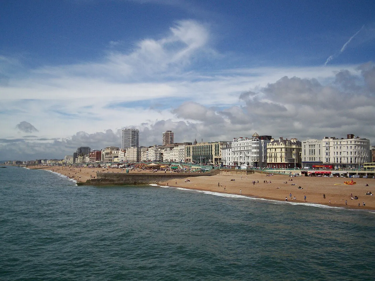
- Population
- 283,870
- 283.9K
- Elevation
- 33 m
- above sea level
- Local time
- UTC+00:00
- Europe/London · UTC+00:00
- Places inside
- 35
- listed under Brighton and Hove
- Airports
- LGW London Gatwick Airport35 km
- LHR London Heathrow Airport75 km
About Brighton and Hove
Brighton and Hove is a district. Location: England, United Kingdom. Population: 283,870. The best months to visit are June–August. The nearest airport is London Gatwick Airport (35 km). Nearby sights include Newmarket Hill and Castle Hill.
Climate of Brighton and Hove
Best months for sightseeingBest months for sightseeing: June–August.
This month · November
A cold month
Day 11° · Night 4° · Rain 93 mm
- Hottest month
- August (day 21°)
- Coldest month
- February (night 2°)
- Wettest month
- December (98 mm)
- Driest month
- July (41 mm)
Bars: average monthly low and high temperature. Below: precipitation. Monthly averages for 1970–2000 at about 18 km resolution, adjusted for elevation. Highlighted months are mild and relatively dry. Source: WorldClim 2.1 (CC BY 4.0).
Show values as a table
| Month | Jan | Feb | Mar | Apr | May | Jun | Jul | Aug | Sep | Oct | Nov | Dec |
|---|---|---|---|---|---|---|---|---|---|---|---|---|
| Average high (°C) | 8° | 8° | 10° | 13° | 16° | 19° | 21° | 21° | 19° | 15° | 11° | 9° |
| Average low (°C) | 2° | 2° | 3° | 4° | 7° | 10° | 12° | 12° | 10° | 7° | 4° | 3° |
| Precipitation (mm) | 92 | 64 | 63 | 48 | 45 | 55 | 41 | 52 | 71 | 87 | 93 | 98 |
How to get to Brighton and Hove
The nearest airport is London Gatwick Airport (LGW), 35 km to the north as the crow flies. The nearest large city is Brighton, 1 km to the southwest.
Airports
- London Gatwick Airport (LGW) London 35 kmnorth
- London Heathrow Airport (LHR) London 75 kmnorth
- London City Airport (LCY) London 76 kmnorth
Nearby large cities
- Brighton Population: 283.9K 1 kmsouthwest
- Worthing Population: 113.9K 17 kmwest
- Eastbourne Population: 101.7K 30 kmeast
- Crawley Population: 124K 31 kmnorth
- Sutton Population: 187.6K 58 kmnorth
Straight-line distances; road distances are longer. Airport data: OurAirports.
Places in Brighton and Hove
35 places
Brighton
Population: 283.9K
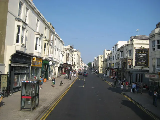
Hove
Population: 75.2K
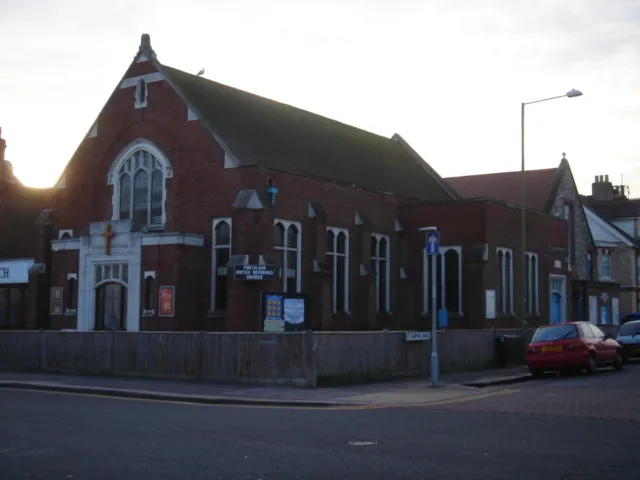
Portslade
Population: 20K
Patcham
Population: 14.3K
Woodingdean
Population: 9.8K
Cities & villages25
- Bevendean · Village
- Black Rock · Neighbourhood
- Brighton · Village
- Brighton Marina Village · Neighbourhood
- Coldean · Neighbourhood
- Hangleton · Neighbourhood
- Hollingbury · Neighbourhood
- Hollingdean · Neighbourhood
- Kemp Town · Neighbourhood
- Mile Oak · Neighbourhood
- Moulsecoomb · Neighbourhood
- Ovingdean · Village
- Portslade-by-Sea · Village
- Preston · Neighbourhood
- Preston Park · Village
- Roedean · Neighbourhood
- Rottingdean · Municipality
- Round Hill · Neighbourhood
- Southern Cross · Neighbourhood
- Stanmer · Village
- Waterhall · Village
- West Blatchington · Village
- Westdene · Neighbourhood
- Whitehawk · Neighbourhood
- Withdean · Neighbourhood
Mountains & nature2
- Bullock Hill · Mountain
- Hollingbury Castle · Mountain
Heritage & sights2
- AmEx Stadium · Landmark
- Withdean Stadium · Landmark
Nearby attractions & nature
Everything nearby-
Newmarket Hill Mountain, Kingston Near Lewes4.8 km E
-
Castle Hill Mountain, Kingston Near Lewes6.2 km E
-
Kingley Vale Natural site, England8.2 km NE
-
West Hill Mountain, Pyecombe7.3 km NW
-
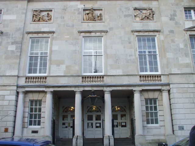 Lewes Crown Court Attraction, Lewes11 km NE
-
Thundersbarrow Hill Mountain, Adur District9.2 km W
Sources & licences
Data last updated: