- Elevation
- -1 m
- above sea level
- Local time
- UTC+00:00
- Europe/London · UTC+00:00
- Places inside
- 3
- listed under Warboys
- Airports
- STN London Stansted Airport63 km
- LTN London Luton Airport65 km
About Warboys
Warboys is a village. Location: Huntingdonshire, Cambridgeshire. Elevation: -1 m. The best months to visit are June–September. The nearest airport is London Stansted Airport (63 km). Nearby sights include Ramsey Booths Hill and Huntingdon Castle.
Climate of Warboys
Best months for sightseeingBest months for sightseeing: June–September.
This month · November
A cold month
Day 10° · Night 4° · Rain 50 mm
- Hottest month
- July (day 22°)
- Coldest month
- February (night 1°)
- Wettest month
- June (51 mm)
- Driest month
- February (32 mm)
Bars: average monthly low and high temperature. Below: precipitation. Monthly averages for 1970–2000 at about 18 km resolution, adjusted for elevation. Highlighted months are mild and relatively dry. Source: WorldClim 2.1 (CC BY 4.0).
Show values as a table
| Month | Jan | Feb | Mar | Apr | May | Jun | Jul | Aug | Sep | Oct | Nov | Dec |
|---|---|---|---|---|---|---|---|---|---|---|---|---|
| Average high (°C) | 7° | 7° | 10° | 13° | 16° | 19° | 22° | 22° | 19° | 14° | 10° | 8° |
| Average low (°C) | 1° | 1° | 3° | 4° | 7° | 10° | 12° | 12° | 10° | 7° | 4° | 2° |
| Precipitation (mm) | 46 | 32 | 42 | 43 | 47 | 51 | 42 | 50 | 48 | 45 | 50 | 46 |
Other places to visit in this season: June July August September
How to get to Warboys
The nearest airport is London Stansted Airport (STN), 63 km to the south as the crow flies. The nearest large city is Peterborough, 22 km to the northwest.
Airports
- London Stansted Airport (STN) London, Essex 63 kmsouth
- London Luton Airport (LTN) Luton, Luton 65 kmsouth
- Norwich Airport (NWI) Norwich, Norfolk 95 kmeast
Nearby large cities
- Peterborough Population: 163.4K 22 kmnorthwest
- Cambridge Population: 145.7K 27 kmsoutheast
- Bedford Population: 106.9K 43 kmsouthwest
- Northampton Population: 245.9K 60 kmwest
- Milton Keynes Population: 256.4K 64 kmsouthwest
Straight-line distances; road distances are longer. Airport data: OurAirports.
Day trips from Warboys
Within 100 km: 602 historic and cultural sites, 284 natural sites, 161 lakes, rivers and coasts.
0–25 km45 places
- The Island Island 14 kmSW
- Battcock's Island Island 12 kmSW
- Holt Island Island 11 kmS
- Haddenham village Mountain 16 kmSE
25–60 km315 places
- Snettisham Beach Beach 60 kmNE
- Inner Tidal Bank Island 50 kmNE
- Duck Island Island 49 kmS
- Park Island Island 30 kmNW
60–100 km687 places
- White Hart Lane Landmark 91 kmS
- Weybourne Beach Beach 99 kmNE
- West Mersea Beach Beach 99 kmSE
- Osea Island Island 96 kmSE
Straight-line distances.
Places in Warboys
3 placesBar: population relative to the most populous place in this list.
Cities & villages2
- Little End · Neighbourhood
- Mill End · Neighbourhood
Nearby attractions & nature
Everything nearby-
Ramsey Booths Hill Historic site, Ramsey4.4 km NW
-
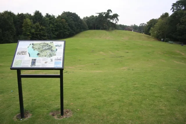 Huntingdon Castle Historic site, Huntingdon14 km SW
-
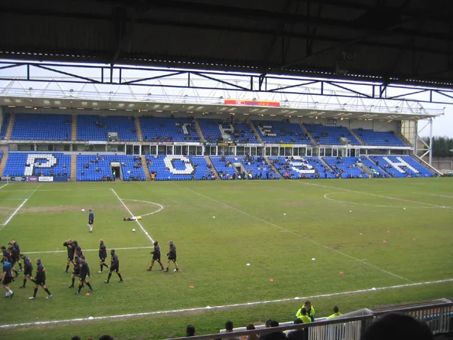 London Road Stadium Landmark, Peterborough20 km NW
-
Hartford Historic site, Kings Ripton11 km SW
-
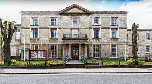 Peterborough Museum and Art Gallery Museum, Peterborough21 km NW
-
Bruces Castle Farm Historic site, Conington15 km W
Sources & licences
Data last updated: